
San Luis Pass (Galveston Island, Texas)
San Luis Pass is the tidal strait at the southwestern end of Galveston Island that links West Bay with the Gulf of Mexico, noted for dynamic currents, coastal ecology, recreation and navigation hazards.
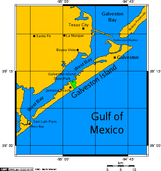
San Luis Pass is a tidal strait at the southwestern tip of Galveston Island in the U.S. state of Texas. The channel connects the sheltered waters of West Bay to the open Gulf of Mexico and forms a transition zone where bay and ocean waters mix. Because of its strong tidal exchange and shifting seabed, San Luis Pass is both an important coastal feature and a recognized hazard for swimmers and small craft.
Image gallery
10 Images





Physical characteristics
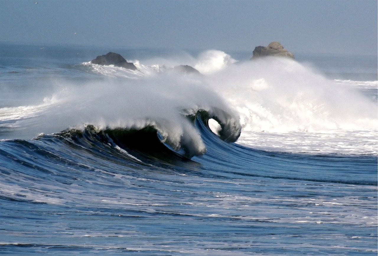
The pass is characterized by a relatively narrow channel, seabed sandbars and pronounced currents that change with the tide. Sediment transport is active: sand moves alongshore and across the mouth, reshaping shoals and altering depth profiles. These conditions produce powerful rip currents and abrupt drop-offs near the channel, and the area is often subject to rapid change after storms.
Ecology and coastal role
As the connection between bay and sea, San Luis Pass plays an important ecological role. The mixing of fresh and saline waters supports estuarine habitats that serve as nurseries for fish and invertebrates and feeding grounds for shorebirds and migratory species. The dynamic shoreline around the pass supports dune and tidal-flat communities that are sensitive to human disturbance and storm impacts.
Human use, navigation and hazards
- Recreation: fishing, boating and birdwatching are common activities near the pass.
- Navigation: transient vessels use the channel to access Gulf waters, but charts and local knowledge are essential because of shifting shoals and currents.
- Safety: the pass is known for dangerous rip currents and has been the site of many rescues and drownings; caution, life jackets and awareness of conditions are strongly advised.
Coastal managers and mariners monitor San Luis Pass for changes caused by storms, sea-level variation and human interventions such as dredging or jetty maintenance. These efforts aim to balance navigation needs, public safety and natural coastal processes.
For additional context see a general map entry for the strait at San Luis Pass (strait) and broader coastal resources at regional water resources and Galveston area guides. Information on Gulf connections and tidal dynamics is often referenced in coastal studies about the Gulf of Mexico. Note that the name "San Luis Pass" is shared by other geographic features in the United States; there are also two mountain passes with the same name in different states, discussed in some regional place-name lists place-name references.
Related articles
Author
AlegsaOnline.com San Luis Pass (Galveston Island, Texas) Leandro Alegsa
URL: https://en.alegsaonline.com/art/86873