Peninsula: land surrounded by water on three sides
A peninsula is a landform projecting into water and connected to mainland by an isthmus; important in geography, history, settlement, and strategic planning with many notable examples worldwide.
Overview
A peninsula is a portion of land that projects outward into a body of water while remaining attached to a larger land mass. In the simplest definition it is land with water on three sides, though the degree of enclosure varies: some peninsulas are narrow and hooked, others broad and nearly continental in scale. The term helps distinguish coastal shapes and is useful in physical geography, navigation and regional description. For more basic descriptions see definitions and references to the surrounding bodies of water.
Image gallery
4 Images


Formation and physical characteristics
Peninsulas arise from a variety of geological and geomorphological processes. Tectonic uplift can raise coastal land above sea level; river deposition and delta growth may create projecting land; and long-term erosion and changing sea levels can isolate promontories while leaving a narrow connection, an isthmus. Structurally, a peninsula commonly features a headland, ridges, and a tapering isthmus, and its coastline may be indented with bays and inlets. Size ranges from small capes to massive tracts of land that influence continental geography.
Human use, settlement and strategic importance
Human societies have long favored peninsulas for settlement because of easy access to marine resources, sheltered harbors, and defensible positions. Ports, fishing communities and tourism often concentrate on peninsular coasts. At the same time peninsulas can be politically sensitive: borders may follow isthmuses, and narrow land connections have been the sites of fortifications and transport corridors. Examples of countries occupying all or part of peninsulas illustrate these patterns: some nations are located entirely on a peninsula, while others occupy only sections, such as parts of Portugal or much of India. Regions like Baja California in Mexico show how peninsulas shape local economies and cross-border interactions.
Notable examples
- Jutland – the mainland part of Denmark and a classic European peninsula; see Jutland accounts in regional geography.
- Indian subcontinent – often treated as a large peninsula projecting into the Indian Ocean; discussed with reference to India.
- Baja California – a long, narrow peninsula extending southward from Mexico (Baja California).
- Eurasia and Europe – if one regards Eurasia as a single continent, then the region commonly called Europe can be described as a large peninsula of that landmass. The idea of a continent as a peninsula-like projection is a useful conceptual distinction.
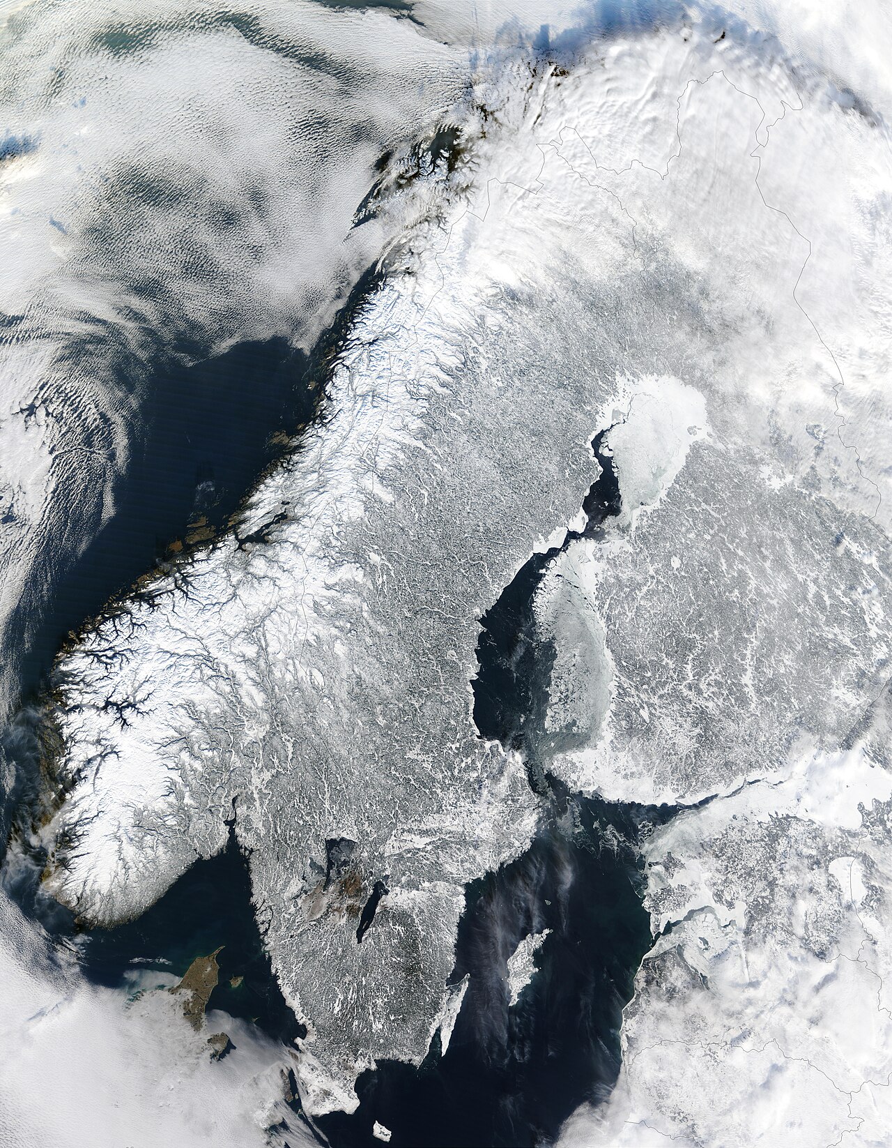
- Major European peninsulas – the Iberian, Italian and Balkan peninsulas are often cited as peninsulas within a larger peninsular region; related continental exclusions such as Russia and Fennoscandia are used when estimating Europe's peninsular area.
Records, distinctions and notable facts
Peninsulas vary widely in size. Some are small coastal headlands; others are continental-scale projections. The Arabian Peninsula is frequently named as the world's largest peninsula, and many atlases and geographic sources treat it as a distinct continental projection because of its size and clear isthmian connections. Another interesting notion is that a peninsula may contain smaller peninsulas—land within land—an observation that helps explain complex coastal patterns and nested regional names.
Practical considerations
For planners and scientists, peninsulas present specific challenges and opportunities. Their long coastlines increase exposure to sea-level rise, storms and erosion, while the same coastlines provide renewable resource potential and transportation advantages. Understanding how peninsulas form and function supports coastal management, biodiversity conservation and regional development strategies.
Related articles
Author
AlegsaOnline.com Peninsula: land surrounded by water on three sides Leandro Alegsa
URL: https://en.alegsaonline.com/art/75566