Continent
Large, distinct expanses of Earth's land commonly grouped as continents; overview of definitions, the usual list, history of the concept, and how continents differ from other geographic units.
A continent is a major continuous area of terrestrial surface on Earth. The term is used for very large landmasses that are usually distinguished by geology, geography, and human history rather than by a single strict definition. Because criteria vary, the number and boundaries of continents are partly conventional: most systems recognize six or seven continents.
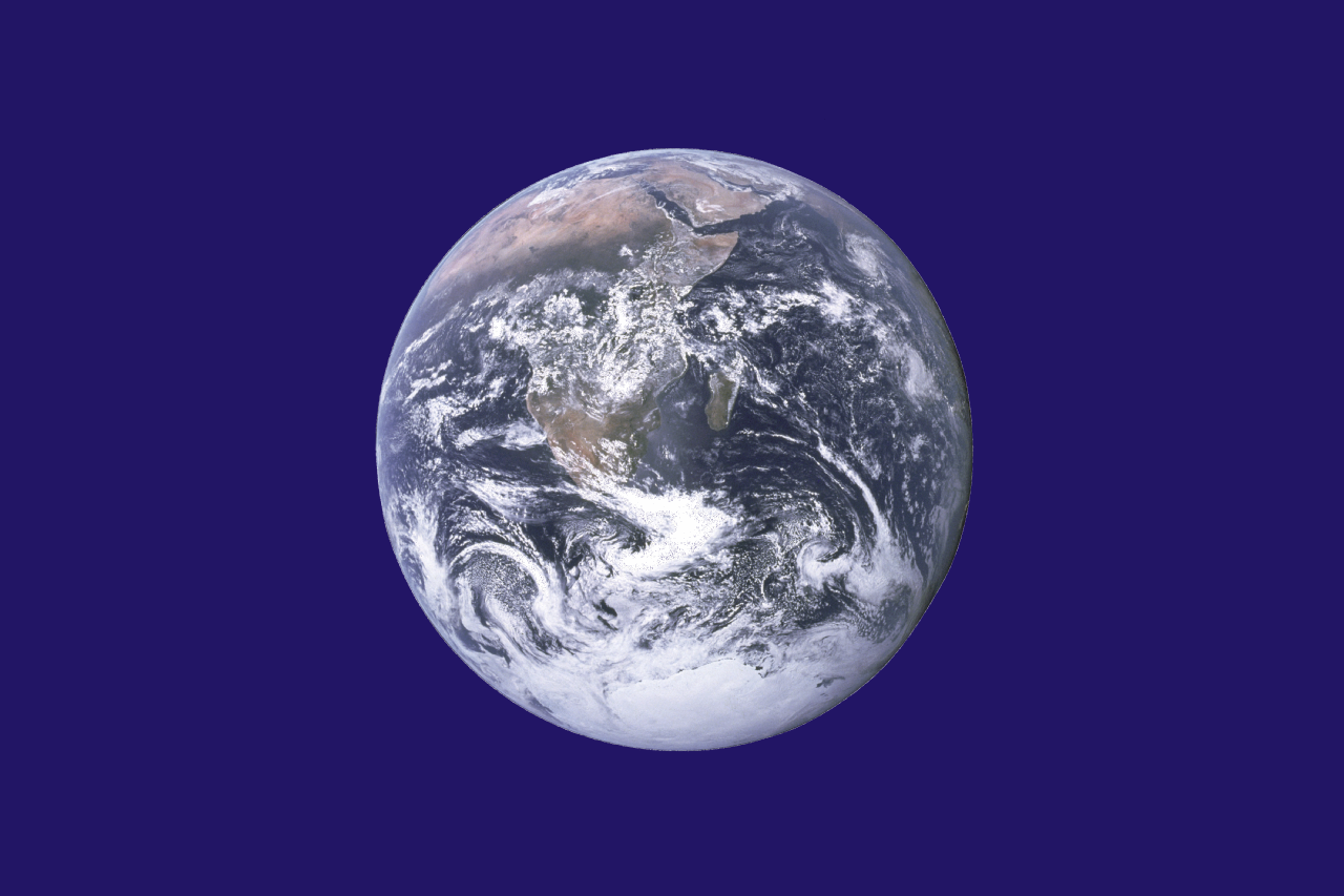
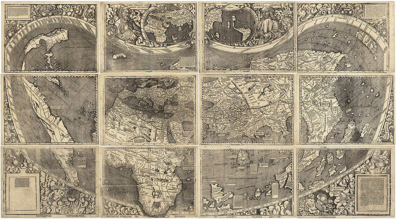
Image gallery
10 Images


Characteristics and criteria
Different disciplines emphasize different features when defining a continent. Geologists may consider continental crust and tectonic plates; geographers and educators often apply cultural, historical or conventional boundaries. Typical factors include size, relative separation from other landmasses (by seas or oceans), distinctive flora and fauna, and long-term human or cultural separateness. Continental shelves and islands associated with a landmass complicate simple boundaries.
Common lists and names
There is no single universally accepted list. The most widely taught scheme names seven: Africa, Antarctica, Asia, Europe, North America, Oceania (often grouped as Australasia in some frameworks), and South America. Other conventions merge Europe and Asia into Eurasia or place Australia with nearby Pacific islands to form Oceania, yielding six continents. The word "continent" can refer to the continuous landmass itself or to the larger cultural-political regions that grew upon it.
History of the concept
The idea of continents developed over centuries. Ancient geographers divided the known world into parts (for example, classical Europe, Asia and Africa). As exploration and scientific understanding expanded, the notion shifted to reflect continental shelves, plate tectonics and colonial-era naming. Modern cartography and education systems retain conventional boundaries for teaching and reference, even where geological borders cross cultural ones.
Uses and importance
Continents serve as useful units for organizing information about biodiversity, climate zones, human history, and geopolitics. Textbooks, atlases and international statistics commonly present continent-based summaries of population, economy and environment. In ecology, continents often host distinct biogeographic regions; in geology, continental plates and their interactions explain mountain ranges, earthquakes, and long-term landscape change.
Distinctions and notable facts
- Asia is the largest continent by both area and population; Antarctica is unique for being largely covered by ice and having no permanent residents.
- Boundaries can be ambiguous: the Europe–Asia border is defined by conventional lines (Ural Mountains, Caucasus, and waterways) rather than a clear physical separation.
- Some islands are considered part of a nearby continent due to cultural, political or geological ties; continental shelves and tectonic placement are often cited in such decisions.
For more detailed regional treatments and maps, see general references on continental geology, human geography and biogeography. For a basic sense of the word, think of a continent as a very large, historically recognized landmass that helps people organize knowledge about the planet and its inhabitants. Additional resources and maps are available through standard geography references and educational portals (landmass overview, planetary context).
Questions and answers
Q: What is a continent?
A: A continent is a vast land area on Earth that is connected.
Q: How many continents are there in the world?
A: Generally, it is agreed that there are six or seven continents in the world.
Q: Can you name the names of all the continents?
A: Yes, the seven continents are Africa, Antarctica, Asia, Europe, North America, Oceania (or Australasia), and South America.
Q: Are there any strict rules for identifying a continent?
A: No, there are no strict rules for identifying a continent.
Q: Is it essential for a continent to be entirely surrounded by water?
A: No, not necessarily. In general, a mass of land that is vast, distinct, and continuous from other land areas is considered a continent.
Q: Are any two continents linked by land?
A: Yes, Asia and Europe are linked by land, and they are called Eurasia.
Q: Can a country belong to more than one continent?
A: No, a country can only belong to one continent based on its physical location.
Related articles
Author
AlegsaOnline.com Continent Leandro Alegsa
URL: https://en.alegsaonline.com/art/22761
Sources
- britannica.com : Continent
- travel.nationalgeographic.com : "Continents: What is a Continent?"
- worldatlas.com : "Map And Details Of All 7 Continents"
- pri.org : "These maps show where the world's youngest and oldest people live"
- cia.gov : "Australia - Oceania :: Australia — The World Factbook - Central Intelligence Agency"
- worldatlas.com : "Australia Map / Oceania Map / Map of Australia / Map of Oceania - Worldatlas.com" · webcitation.org
- encarta.msn.com : encarta.msn.com/dictionary_/continent.html
- teara.govt.nz : "Zealandia: the New Zealand continent" · webcitation.org