Pennines: the upland spine of northern England
Overview of the Pennines: location, geology, ecology, history, recreation and conservation of the upland chain running from the Peak District to the Scottish border.
Overview
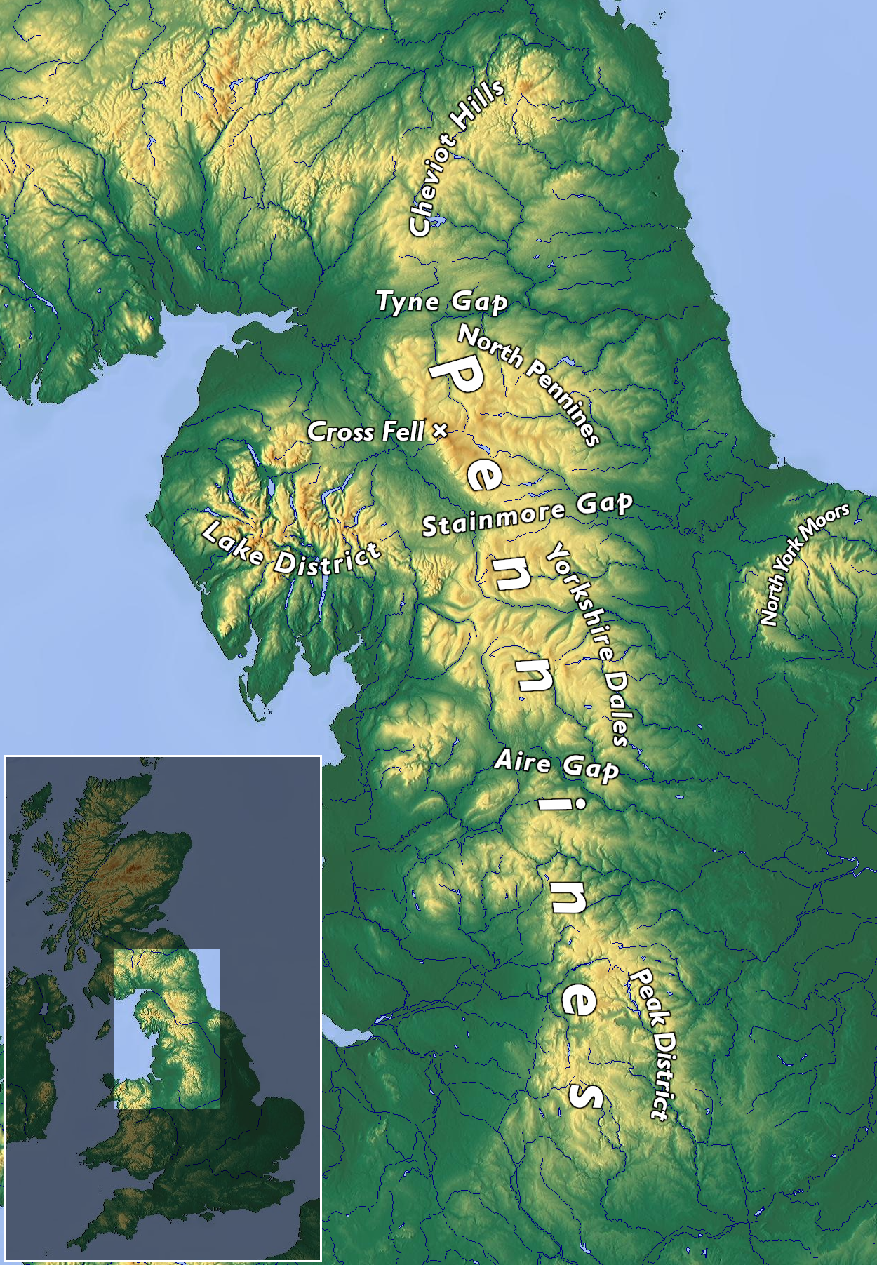
The Pennines are the principal upland chain of northern England, often described as the "backbone of England." This broad ridge runs in a generally north–south line from the Peak District in the Midlands to the Cheviot Hills near the Scottish border. The range is commonly measured at about 250 miles (roughly 402 km) in length and crosses several counties and regions within England. The Pennines are not a single continuous high mountain mass but a linked series of moors, fells and dales.
Image gallery
10 Images


Geology and landscape
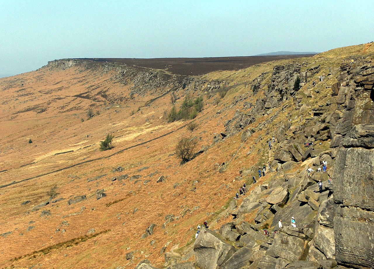
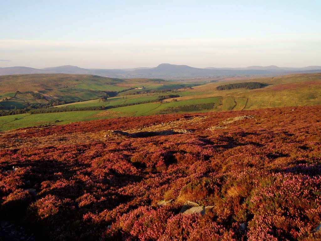
The landscape owes its form to Carboniferous sandstones and mudstones, with resistant beds such as millstone grit forming escarpments and plateaus. Limestone bands have been eroded into characteristic valleys and caverns, especially noticeable in areas like the Yorkshire Dales. Higher ground is dominated by peat bogs and heather moorland; these soils store water and influence downstream river regimes.
Regions and notable sections
The chain includes a sequence of distinct upland areas: the southern end around the Peak District and adjacent Midlands, the central dales and moors that include the Yorkshire Dales, uplands that touch parts of Greater Manchester and the West Pennine Moors, and the higher fells of Cumbria before rising into the Cheviots on the Scottish border. These named sections reflect both geology and local land use traditions.
Human history and use
People have shaped Pennine landscapes for millennia: prehistoric cairns and field boundaries survive, and later activity included pastoral sheep farming, lead and other mineral extraction, and construction of reservoirs and canals to serve growing towns. Settlement tends to cluster in valleys and on lower slopes, while higher ground has been used for grazing, grouse shooting and managed burning. Transport corridors historically navigated passes and valleys rather than crossing the highest plateaus.
Ecology, recreation and conservation
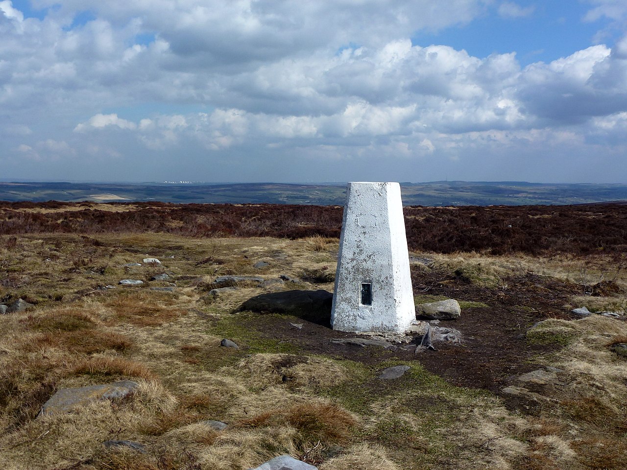
Heath, blanket bog and limestone grassland support upland plant communities and birds such as grouse, curlew and skylark. Peatlands are important carbon stores but have been subject to erosion and drainage; conservation efforts focus on peat restoration, rewilding measures and sensitive upland management. For walkers and tourists the range is famous: long-distance routes and local trails traverse the moors, the Pennine Way being the best-known long footpath linking many upland stretches. Protected areas and national parks cover parts of the chain and aim to balance recreation, farming and habitat care.
Distinctive features and significance
- Serves as a watershed for rivers flowing east and west.
- Varied geology creates dramatic dales, cliffs and caves.
- Important cultural landscape shaped by centuries of pastoral agriculture and mining.
- Popular for outdoor recreation and valued for biodiversity and water resources.
For further reading and regional guides consult resources on the general geography of the Pennines and specific pages for the Peak District, Yorkshire Dales and other named uplands. Local authorities and national park organisations provide detailed information on access, conservation and visitor facilities (Midlands overview, Greater Manchester, West Pennine Moors, Cumbrian fells, border hilllands).
Related articles
Author
AlegsaOnline.com Pennines: the upland spine of northern England Leandro Alegsa
URL: https://en.alegsaonline.com/art/75577