
Achterhoek: region, landscape and culture in eastern Gelderland
Achterhoek is a largely rural region in eastern Gelderland, Netherlands, known for its Low Saxon dialect, rolling farmland, historic towns (Zutphen, Doetinchem, Winterswijk) and cross-border ties with Germany.
The Achterhoek (Dutch Low Saxon: Achterhook) is a distinct cultural and geographic region in the eastern part of the Dutch province of Gelderland within the Netherlands. Its name literally means "back corner," reflecting its location behind the IJssel river. The area is predominantly rural, with a mix of small towns, agricultural land, hedgerows and woodland patches that give it a characteristic lowland landscape.
Image gallery
6 Images



Geography and boundaries
Geographically the Achterhoek occupies the easternmost section of Gelderland, excluding the southwestern subregion known as De Liemers. To the north it adjoins the regions of Salland and Twente, which lie in the neighbouring province of Overijssel. On its eastern and southeastern edges the Achterhoek borders the German state of North Rhine-Westphalia. The IJssel river forms a western reference line; the land east of it has historically been seen as a backland relative to central Gelderland.
Language and culture
Rather than standard Dutch alone, the region falls within the Dutch Low Saxon language area and many inhabitants speak a local variety known as Achterhooks. That dialect, together with folk traditions, vernacular architecture and community festivals, contributes to a distinctive regional identity. Agriculture, small-scale industry and local tourism based on cycling, walking and heritage sites remain important to the local economy.
History and administrative identity
Historically the area has been associated with the medieval County of Zutphen; for some purposes the Achterhoek is still referred to as the County of Zutphen. That territory was linked to the larger duchy or county structures of Guelders in the Middle Ages, and later municipal and provincial reorganisations shaped its present administrative boundaries. Many towns preserve fortifications, churches and manor houses dating from those centuries.
Towns, settlements and points of interest
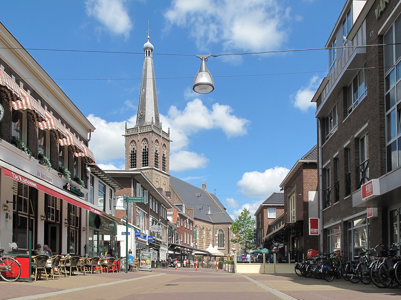
The size of settlements in the Achterhoek varies from small villages to market towns. The region's largest urban centres include Doetinchem, Winterswijk and Zutphen. Other notable places are Aalten, Borculo, Bredevoort, Eibergen, Geesteren, Groenlo, Hengelo, Lichtenvoorde, Neede, Silvolde, Varsseveld, Vragender and Zelhem. Visitors often explore local museums, restored fortifications, weekly markets and the network of country lanes that are popular with cyclists.
- Landscape: patchwork of fields, hedgerows and small woodlands.
- Economy: agriculture, food processing, small manufacturing and tourism.
- Cultural life: dialect theatre, local fairs, and historical reenactments.
The Achterhoek is appreciated for combining an accessible rural character with well-preserved historical towns. Its cross-border position has fostered trade and cultural exchange with Germany while its Low Saxon roots and local institutions sustain a recognizable regional identity within the Netherlands.
Related articles
Author
AlegsaOnline.com Achterhoek: region, landscape and culture in eastern Gelderland Leandro Alegsa
URL: https://en.alegsaonline.com/art/710