Salland — historical region of Overijssel, Netherlands
Salland is a traditional region in the western and northern part of Overijssel in the Netherlands, known for river valleys, heathland, the Sallandse Heuvelrug and a distinct Low Saxon dialect and rural culture.
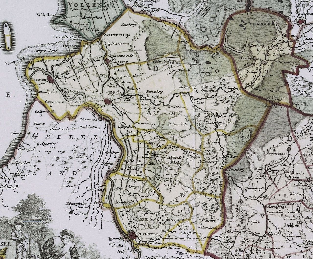
Salland is a historical and cultural region located in the western and northern parts of the Dutch province of Overijssel. It is commonly described as part of the central-eastern Netherlands and is associated with open farmland, river lowlands and scattered towns. The name and boundaries of Salland reflect older territorial divisions rather than modern administrative units; parts of the area overlap with neighboring regions and municipalities.
Image gallery
3 Images

Geography and landscape
The landscape of Salland ranges from flat river plains to higher sandy ridges. Major waterways and tributaries have shaped its soils: meadows and fertile strips lie along rivers, while heath, forests and small dunes appear on glacial ridges. The best-known elevated area is the Sallandse Heuvelrug, a push moraine now preserved as a national park with heathland and coniferous forest.
History and cultural identity
The region traces its identity to early medieval territorial units and local lordships in what is today the Netherlands. Over centuries its borders shifted with political and ecclesiastical changes. Salland developed a rural culture with local customs and a variant of Low Saxon speech often called Sallands, a dialect of Dutch Low Saxon still heard in villages and small towns.
Economy, land use and towns
Historically and today, agriculture—dairy, arable farming and horticulture—forms an important part of the local economy, combined with small industry and tourism around natural reserves and heritage towns. Towns and municipalities commonly associated with Salland include Zwolle, Deventer, Raalte, Ommen and Dalfsen; some of these lie on the fringes of the region and are also linked to neighboring cultural areas.
Distinctive features and modern relevance
- Natural reserves such as the Sallandse Heuvelrug attract walkers and cyclists and conserve heath and woodland.
- Salland plays a role in regional identity discussions: it is used in tourism, cultural events and local government collaborations rather than as a strict administrative unit.
- The area illustrates the overlap between historical regions and present provinces, and how landscape and dialect preserve older regional identities.
For further regional information and maps see local resources: regional information.
Related articles
Author
AlegsaOnline.com Salland — historical region of Overijssel, Netherlands Leandro Alegsa
URL: https://en.alegsaonline.com/art/86491