Mount Ruapehu
Active stratovolcano in New Zealand’s central North Island, highest peak on the island and a focal point for recreation, Māori culture, and volcanic hazards.
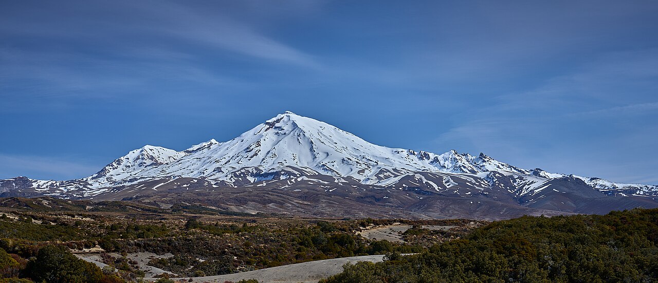
Mount Ruapehu is an active stratovolcano situated near the centre of New Zealand's North Island. Rising to about 2,797 metres, it is the island's highest peak and forms a prominent part of the volcanic plateau within North Island. The mountain lies inside Tongariro National Park and is a well-known landmark for both visitors and scientists.
Image gallery
8 Images


Physical characteristics
Ruapehu has a broad, conical summit that contains a frequently changing crater lake. The chemistry and temperature of this lake vary with volcanic activity, and its presence makes eruptions commonly phreatic or phreatomagmatic (steam-driven). Permanent snowfields, seasonal glaciers and steep skiable slopes occupy the upper flanks. The volcano is part of the Taupo Volcanic Zone and shares geological features with nearby volcanic centres.
History and activity
The mountain has produced repeated eruptions over the past centuries and remains active. Notable periods of activity occurred in the 1990s and again in 2006–2007; the crater lake last produced eruptive activity in September 2007. Because of its eruptive behaviour and crater lake dynamics, Ruapehu is closely monitored for warning signs of renewed unrest by national geological agencies.
Importance and impacts
Ruapehu is culturally significant to Māori and is often translated as a name meaning “pit of noise.” It supports major ski areas on its slopes, draws hikers and climbers, and lies within a World Heritage national park. The volcano also poses hazards: lahars (volcanic mudflows) and sudden lake breakouts have caused destructive events in the past, prompting engineering and monitoring measures to reduce risk.
Notable facts
- Elevation approximately 2,797 m, making it the tallest mountain on the island.
- Within Tongariro National Park, an area of cultural and natural significance.
- Subject to continuous monitoring because of active crater-lake behaviour; see recent activity reports and general information on New Zealand volcano monitoring.
Related articles
Author
AlegsaOnline.com Mount Ruapehu Leandro Alegsa
URL: https://en.alegsaonline.com/art/67084
Sources
- doc.govt.nz : "Crater Lake"
- christchurchcitylibraries.com : "Aircraft Accident: Lockheed Electra ZK-AGK Kaka"