
Gambia River: course, history, ecology and human uses
West African river rising in Guinea, flowing through Senegal and The Gambia to the Atlantic; important for transport, ecosystems and the small country that bears its name.
Overview
The Gambia River is a prominent waterway in West Africa. Stretching roughly 1,120 kilometres, it flows roughly east–west from inland highlands to the sea. The river gives its name to the nation of The Gambia and has shaped settlement, transport and ecology along its banks for centuries.
Image gallery
7 Images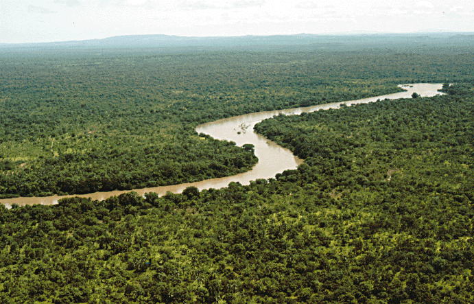



Course and characteristics
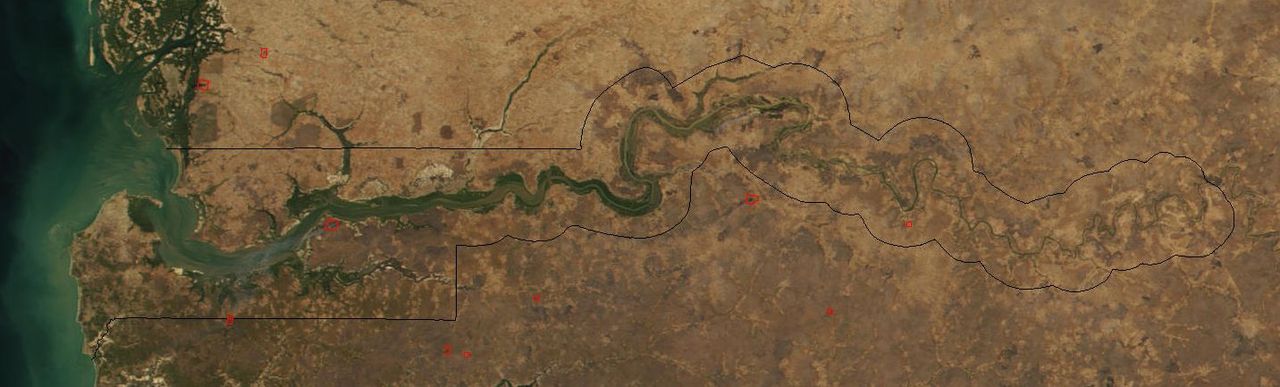
The river rises on the Fouta Djallon plateau in Guinea and travels westward across parts of Senegal before traversing the length of The Gambia to reach the Atlantic Ocean. Its mouth lies near the capital, Banjul. Tidal influence penetrates far inland, creating an estuary with mangroves and brackish habitats.
- Length: about 1,120 km (commonly cited).
- Navigability: traditionally navigable for about half its length, permitting river transport into the interior.
- Hydrology: seasonal variations in flow tied to West African rainfall patterns.
History and human settlement
The Gambia River has long been a corridor for trade and migration. Coastal and riverside communities developed agriculture, fishing and riverine commerce. During the era of European exploration and colonial expansion the river served as an access route inland; control of its mouth and banks influenced the boundaries drawn by colonial powers and ultimately the small, narrow shape of the modern state of The Gambia.
Uses, ecology and examples
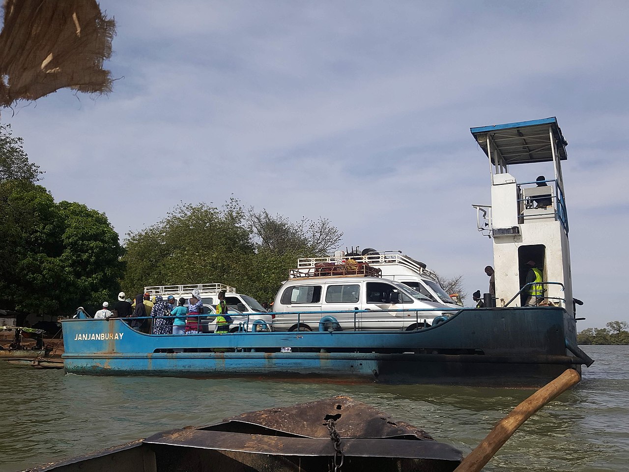
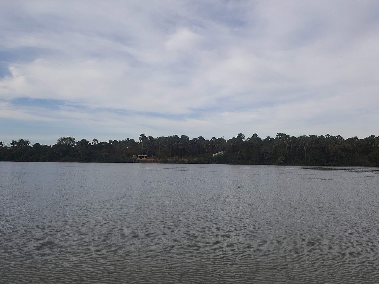
Communities along the river depend on it for freshwater, irrigation, transport and fish. The estuary and floodplain support diverse habitats: mangroves, wetlands and gallery forests that host fish, waterfowl and larger mammals, including species of crocodile and the West African manatee in parts of its basin. Rice cultivation and artisanal fisheries are typical uses of the floodplain; small boats remain important for linking settlements.
- Economic uses: fishing, small-scale irrigation, local transport and tourism.
- Ecological value: nursery grounds for fish and important bird habitats.
Notable facts and conservation
Because the river cuts across national borders and supports sensitive habitats, it is subject to pressures from land use change, pollution and climate variability. Conservation efforts focus on protecting wetlands and managing fisheries sustainably while balancing community needs. The river’s cultural and political significance — including its central role in the identity and geography of The Gambia — make it a subject of continuing environmental and development attention.
For further reading on navigation, hydrology and regional history consult specialist sources and regional environmental reports: Gambia River studies, overviews of West African rivers, the geology of the Fouta Djallon, riverine regions of Senegal and The Gambia, and information about the river mouth and port at Banjul and the river’s outlet to the Atlantic.
Related articles
Author
AlegsaOnline.com Gambia River: course, history, ecology and human uses Leandro Alegsa
URL: https://en.alegsaonline.com/art/37363
Sources
- feow.org : "509: Senegal – Gambia"