East of England
A concise, balanced overview of the East of England region: geography, counties, history, population, economy and notable features.
Overview
The East of England is one of the nine official regions of England and is commonly referred to in governmental and statistical contexts as a distinct region. It occupies a broad tract of eastern lowland Britain, bordering the North Sea and lying east of London. The region is identified administratively and for data reporting as one of the nine regions used in national planning and statistics.
Image gallery
10 Images


Formation and statistical role
The region was defined in the late 20th century for planning, policy and census purposes and is regularly used as a statistical category in government publications. National agencies compile regional statistics for the East of England to support economic planning, transport strategies and public services.
Counties and local authorities
The East of England comprises a mixture of two-tier counties and unitary areas. The principal ceremonial counties are listed below; smaller district and borough councils operate within them:
- Bedfordshire
- Cambridgeshire
- Essex
- Hertfordshire
- Norfolk
- Suffolk
- City and unitary authority: Peterborough
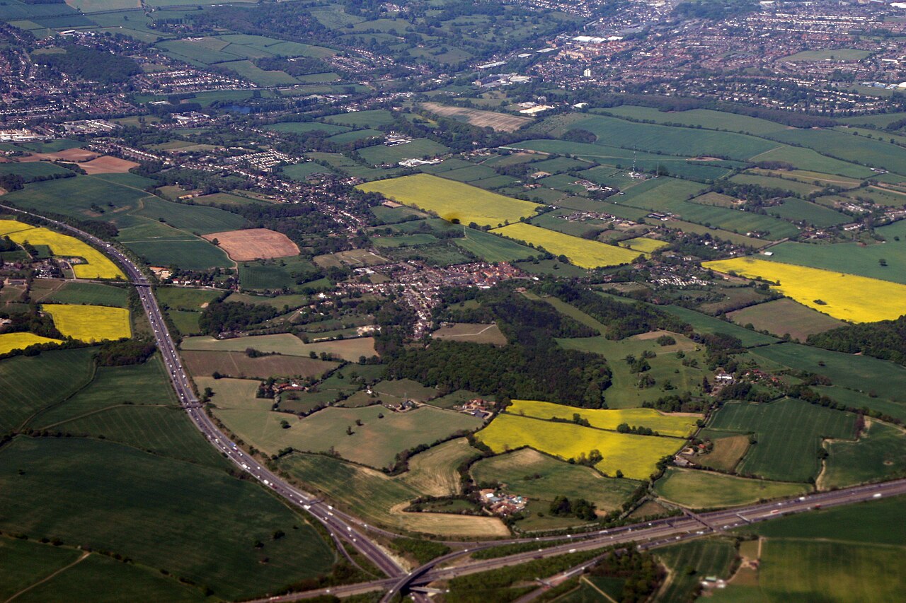
Geography and landscape
Much of the region is low-lying: fertile arable plains, coastal marshes and the broad fenlands are characteristic. Norfolk and Suffolk include long Atlantic-facing and North Sea coasts, while the Norfolk Broads are a noted network of rivers and lakes. Higher ground is limited; the best-known hill in the area is Ivinghoe Beacon, which rises to about 249 metres above sea level and provides local high ground near the Chilterns.
Population and settlements
The region contains a mix of cities, market towns and rural communities. The 2001 national census recorded approximately 5.39 million residents in the East of England; later counts show continued growth driven by housing expansion and commuting to London. Major urban centres include Cambridge, Norwich, Chelmsford and larger towns that serve as local economic and administrative hubs.
Economy, transport and culture
The East of England has a diverse economy: high-technology and university-linked research around Cambridge, agriculture across the plains, maritime industries on the coast and service sectors in urban areas. Transport links include road and rail corridors connecting to London and the Midlands, plus regional airports and ports serving freight and passenger traffic. Cultural heritage ranges from medieval cathedral cities to coastal resorts and notable nature reserves.
Notable facts
As a statistical region it is used for comparisons of growth, employment and public services; its low-lying geography makes some areas sensitive to coastal change and flooding, while pockets of high-tech growth distinguish parts of the region economically. For further administrative, demographic and geographic detail consult regional summaries and official data sources provided by national agencies.
Related articles
Author
AlegsaOnline.com East of England Leandro Alegsa
URL: https://en.alegsaonline.com/art/29688