East Siberian Sea
A shallow, remote marginal sea of the Arctic Ocean north of Siberia, characterized by long-lived sea ice, low salinity from large river discharge, sparse settlement and unique Arctic ecosystems.
Overview
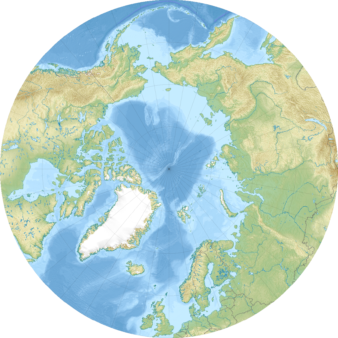
The East Siberian Sea is a remote marginal sea of the Arctic Ocean that lies north of the Siberian coast. Bounded by the New Siberian Islands to the west and Wrangel Island to the east, it faces the Arctic Cape to the north and the mainland of northeastern Siberia to the south. To its west lies the Laptev Sea and to the east the Chukchi Sea. The sea is notable for its isolation, low human population density and long, severe winters.
Image gallery
9 Images


Geography and hydrology
The sea sits largely on the broad Siberian continental shelf and is unusually shallow for an open-ocean marginal sea, with most areas under 50 metres deep. Its indented coastline extends for roughly 3,000 km and includes numerous estuaries, spits and small islands. Major rivers that discharge into the sea include the Indigirka, the Kolyma, the Alazeya and the Chaun, together with several smaller rivers such as the Ujandina, Chukochya, Rauchua and Pegtymel; these rivers deliver large volumes of freshwater, sediment and organic matter that reduce surface salinity and influence local circulation and ice conditions. The sea exhibits weak currents, slow exchange with adjacent basins and small tidal ranges; low tides are typical.
Climate and seasonal ice
The East Siberian Sea experiences a harsh Arctic climate, with long, cold winters, brief summers and frequent summer fogs that can limit visibility and complicate navigation. Sea ice covers much of the surface for the majority of the year and the pack generally retreats only in August–September in most years. The region's climate regimes and seasonal ice dynamics are subjects of ongoing scientific study because they respond sensitively to broader Arctic warming trends and changes in river discharge. See regional summaries on climate and the importance of low water salinity in shaping local water properties.
Ecology and natural resources
Biological productivity is limited compared with lower-latitude seas, but the East Siberian Sea supports a range of Arctic-adapted organisms. Its coastal zones and pack-ice habitat provide feeding and breeding areas for seals, walrus and polar bears, and its islands and cliffs host colonies of seabirds. Seasonal phytoplankton blooms occur where sunlight and nutrient conditions allow, supporting small pelagic fish and benthic communities on the shelf. Indigenous communities have long harvested marine mammals, fish and birds for subsistence. The sea and its coasts are also of interest for geological and resource studies, though commercial exploitation is constrained by ice, remoteness and environmental sensitivity.
Human presence and navigation
Human presence is sparse along the sea's shores. Indigenous peoples including Yukaghir, Chukchi and Even groups have lived and pursued traditional livelihoods here for millennia. The region's largest permanent settlement and port is Pevek, which serves local shipping and supply functions. Navigation is limited by the shallow depths, persistent ice cover, frequent fog and the sea's remote location; nevertheless, changes in ice patterns have renewed attention to potential seasonal transit and resource access along sections of the Northern Sea Route.
Research, history and environmental concerns
Exploration and mapping of the East Siberian Sea progressed from early Russian Arctic voyages to more systematic scientific surveys in the 19th and 20th centuries. Today the area is monitored for its role in Arctic oceanography, carbon and freshwater budgets, coastal permafrost degradation and coastal erosion. Environmental concerns include impacts from increased shipping, potential resource development, and the effects of warming on ice-dependent species. Researchers continue to document how riverine inputs, shelf processes and climate variability combine to shape this distinctive Arctic shelf sea.
Related links and further reading
- Definition and context: marginal sea
- Adjacent ocean basin: Arctic Ocean
- Coastal geography: Siberian coast
- Protected and island areas: Wrangel Island
- Neighboring seas: Laptev Sea, Chukchi Sea
- Regional climate information: climate
- Oceanographic notes: low water salinity
- Navigation factors: low tides and frequent fogs
The East Siberian Sea remains a frontier region for polar science and for communities maintaining traditional livelihoods under changing environmental and economic pressures.
Questions and answers
Q: What is the East Siberian Sea?
A: The East Siberian Sea is a marginal sea located in the Arctic Ocean, situated between the Arctic Cape to the north, the coast of Siberia to the south, the New Siberian Islands to the west and Cape Billings, Chukotka, and Wrangel Island to the east.
Q: What is the geography of the East Siberian Sea?
A: The East Siberian Sea borders on the Laptev Sea to the west and the Chukchi Sea to the east. The coast of the sea is 3,016 km long, and the depths are shallow, generally less than 50 meters.
Q: What is the climate of the East Siberian Sea?
A: The East Siberian Sea has severe climate with low water salinity and little flora, fauna, and human population. There are slow sea currents, low tides, and frequent fogs, especially in summer. The sea also has ice fields and they only fully melt in August–September.
Q: Who lived along the shores of the East Siberian Sea?
A: The shores of the East Siberian Sea were inhabited by tribes of Yukaghirs, Chukchi, Evens, and Evenks for thousands of years.
Q: What is the largest city in the East Siberian Sea region?
A: The largest city and port in the East Siberian Sea region is Pevek, the northernmost city of mainland Russia.
Q: Which are the most important rivers flowing into the East Siberian Sea?
A: The most important rivers flowing into the East Siberian Sea are the Indigirka, the Alazeya, The Ujandina, the Chukochya River, the Kolyma, the Rauchua, the Chaun, and the Pegtymel.
Q: Can all the rivers flowing into the East Siberian Sea be traveled on?
A: No, only a few rivers flowing into the East Siberian Sea are able to be traveled on.
Related articles
Author
AlegsaOnline.com East Siberian Sea Leandro Alegsa
URL: https://en.alegsaonline.com/art/29702
Sources
- books.google.com : Northeast arctic passage
- nytimes.com : Forsaken in Russia's Arctic: 9 Million Stranded Workers
- yakutiatoday.com : From Vancouver to Moscow Expedition
- pevek.ru : History of Pevek
- vlad.tribnet.com : Polar bear strays onto Chukotka runway
- books.google.com : Prostar Sailing Directions 2005 North Coast of Russia Enroute
- books.google.com : The Global Coastal Ocean: Regional Studies and Syntheses
- bse.sci-lib.com : East Siberian Sea
- 2mn.org : Mammals of the East Siberian Sea