Villa Clara Province (Cuba)
Central Cuban province centered on Santa Clara, known for its coastal cays, sugar-growing plains, lakes and the historic role of Santa Clara in Cuban history.

Villa Clara is a central province of Cuba with a varied landscape that ranges from coastal cays and coral reef banks to inland plains and low mountain ridges. Its capital and largest city is Santa Clara; other important towns include Sagua La Grande, Placetas, Camajuaní, Remedios and Caibarién. The province plays a prominent role in Cuban agriculture, transport and domestic tourism.
Image gallery
10 Images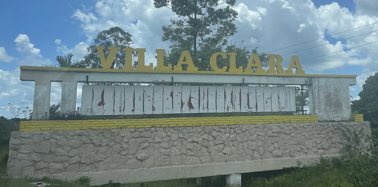


Geography and natural features
The northern shore of Villa Clara is fringed by many small islands and cays that form part of the broader northern archipelago. These cays and keys are valued for their scenic beaches and are linked to the main island by causeways and local ferry services in some areas. Offshore the coastline is protected by abundant coral reefs, which shelter shallow lagoon systems and support diverse marine life. Many stretches of the mainland and small islands are edged with fine sandy beaches that are used for recreation and seasonal tourism.
Inland, the terrain rises to the Alturas de Santa Clara, a series of modest hills and ridges that provide the highest elevations in the province. The summit area reaches about 464 metres above sea level, a local high point that shapes microclimates and watershed patterns (Alturas de Santa Clara). Scattered lakes and reservoirs throughout the province serve both as recreational sites and as fisheries, and they contribute to local water management strategies (lakes).
Rivers, agriculture and economy
Villa Clara contains the Río Sagua la Grande, the largest Cuban river that flows northward into the Atlantic; it has historic and economic significance for the agricultural plains it irrigates (Río Sagua la Grande). The northern coastal plains and inland valleys are dominated by sugar cane cultivation, a crop that played and continues to play a major role in the province's economy. Sugar remains a key commodity for the region, with several sugar mills and processing facilities providing employment alongside smaller farms and cooperatives.
- Principal municipalities: Santa Clara (capital), Sagua La Grande, Placetas, Camajuaní, Remedios, Caibarién.
- Coastal features: cays and reef systems supporting fisheries and tourism.
- Landforms: Alturas de Santa Clara and extensive lowlands for agriculture.
Villa Clara borders several other provinces; to the west lies Cienfuegos and to the east is Sancti Spíritus. Historically these provinces were once part of a larger administrative region, and Villa Clara retains cultural and economic ties with its neighbours.
History, culture and transport
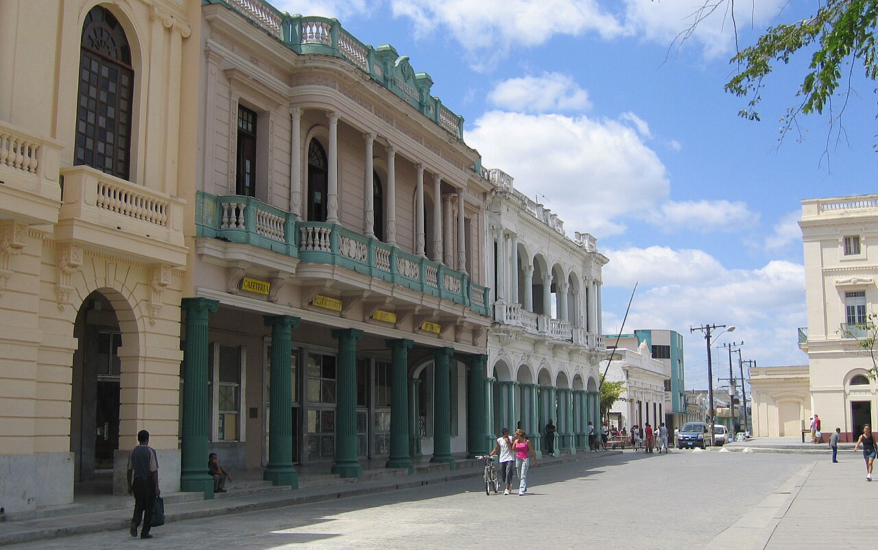
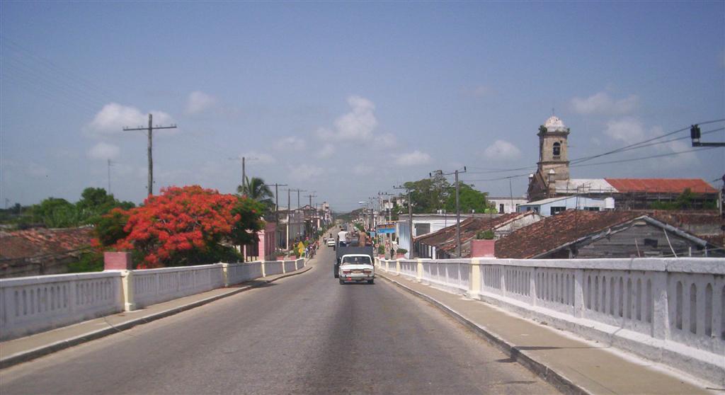
Santa Clara is notable in modern Cuban history for events linked to the Cuban Revolution and as a cultural center with museums, monuments and a mausoleum that attract visitors. The province's towns have colonial-era churches, plazas and festivals that reflect a mix of Spanish, African and indigenous influences. Transport infrastructure includes road and rail connections that link Villa Clara to other parts of Cuba, and ports such as Caibarién support fishing and coastal traffic.
Tourism has grown around the coastal cays and beach resorts, while inland attractions include river valleys, lakes and historic urban centers. Conservation of reefs and wetlands is increasingly important to balance economic uses—fishing, agriculture and tourism—with the protection of biodiversity and shoreline stability.
For further reading about regional geography and travel resources, see local guides and provincial overviews provided by official and educational sources.
Related articles
Author
AlegsaOnline.com Villa Clara Province (Cuba) Leandro Alegsa
URL: https://en.alegsaonline.com/art/105173