Tasman Sea
The Tasman Sea lies between Australia and New Zealand. Part of the South Pacific, it is known for its role in shipping, weather patterns, marine life and as the trans-Tasman cultural and transport corridor.
Overview
The Tasman Sea is the body of water separating the eastern coast of Australia from the western shores of New Zealand. It is a marginal sea of the South Pacific Ocean and is commonly referred to in everyday speech as "the Tasman" or, informally between the two countries, "The Ditch." The sea was named for the 17th‑century Dutch navigator Abel Tasman.
Image gallery
4 Images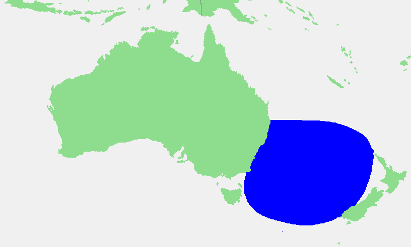


Geography and oceanography
The Tasman Sea extends roughly 2,000 kilometres from east to west and about 2,800 kilometres from north to south. Its waters link directly to the broader South Pacific and are influenced by major currents such as the southward‑flowing East Australian Current. The region includes continental shelves, deeper basins and a complex frontal system where ocean temperatures and salinities change, affecting weather and marine productivity.
History and naming
European recognition of the sea dates to voyages of exploration in the 17th century. It takes its common name from Abel Tasman, who charted parts of the area. Indigenous peoples of New Zealand and Australia have long known and named these waters; in Māori the Tasman Sea is called Te Tai‑o‑Rēhua. Modern connections across the sea developed with shipping, migration and later civil aviation between Australia and New Zealand.
Uses and significance
The Tasman Sea is an important corridor for international shipping and air routes linking the two countries and beyond. It supports commercial fisheries and aquaculture, and its coasts are popular for recreation and tourism. Mariners and aviators treat the crossing as a routine but sometimes challenging passage because of variable weather and sea state, a fact reflected in the colloquial phrase "crossing the ditch."
Ecology and notable facts
- The sea hosts diverse marine life, from plankton and fish to seabirds and marine mammals, and has productive fishing grounds.
- Weather systems over the Tasman can influence rainfall and storm patterns on adjacent coasts.
- Research and conservation efforts monitor fisheries, ocean warming and currents that affect regional climate and ecosystems.
For maps, navigational charts and more detailed oceanographic data consult a regional chart or online resources such as a general map or authoritative marine information portals. See also cross‑Tasman transport and cultural links between Australia and New Zealand for contemporary context.
Related articles
Author
AlegsaOnline.com Tasman Sea Leandro Alegsa
URL: https://en.alegsaonline.com/art/96475