Santa Susana Mountains
A coastal Southern California mountain range north of Los Angeles, spanning Ventura and Los Angeles counties; known for chaparral ecology, recreation, and historical industrial sites.
The Santa Susana Mountains form a compact but distinctive range in southern California, within the United States. Located northwest of the Los Angeles basin, the range separates lowland valleys and river corridors and is visible from many nearby communities. Although modest in height compared with major western ranges, the Santa Susana Mountains influence local climate, wildlife movement, and patterns of development.
Image gallery
6 Images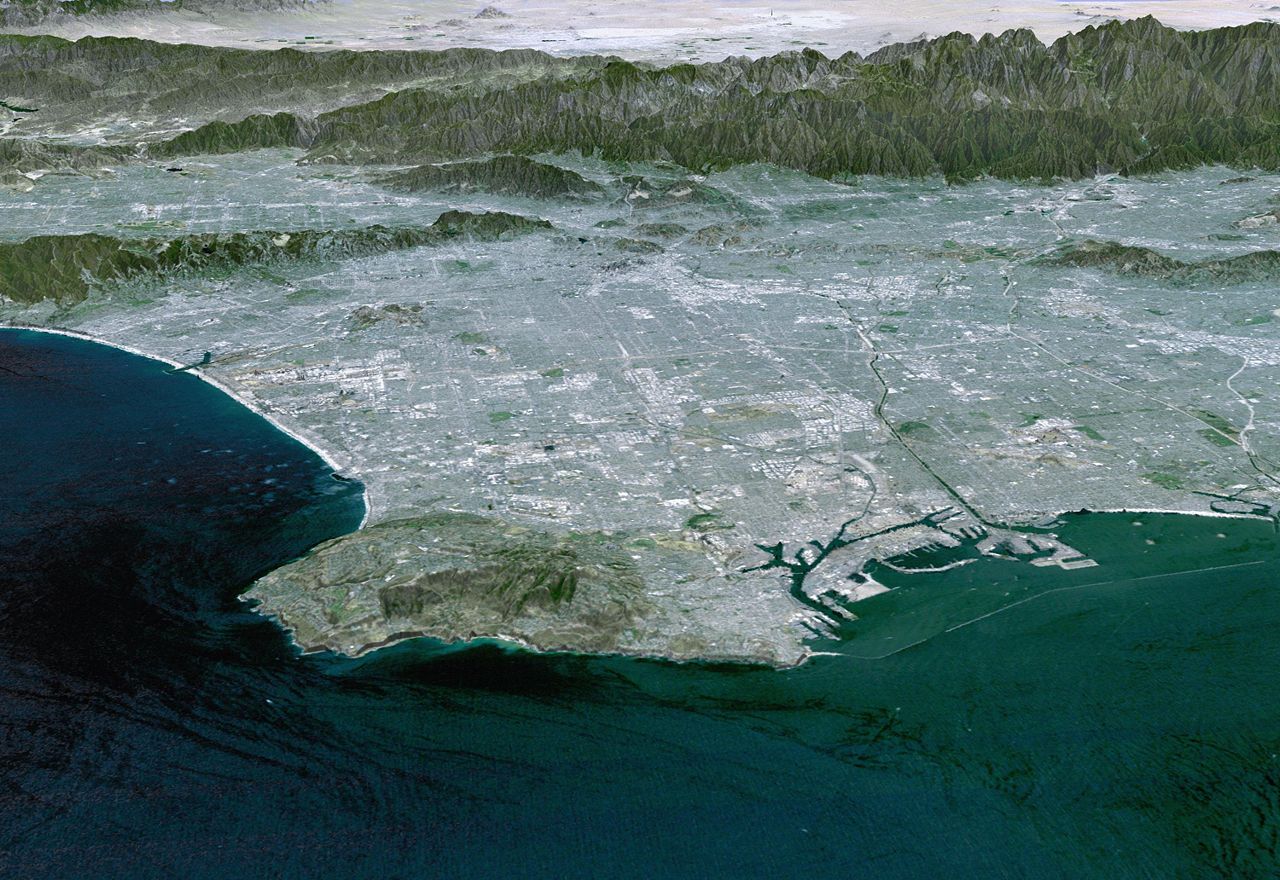


Geography and boundaries
The mountains lie north of the city of Los Angeles and just south of the Santa Clara River. Their western foothills fall within Ventura County, while the eastern slopes are inside Los Angeles County. The range forms part of the broader Transverse Ranges province of southern California and connects with adjacent hills and ridgelines, creating a mosaic of canyons, ridges and passes used for transportation and ecological corridors.
Geology and natural communities
The Santa Susana Mountains are primarily composed of folded and faulted sedimentary and volcanic rocks, shaped by the tectonic forces that created southern California's landscape. Vegetation is dominated by chaparral, scrub and scattered oak woodlands on drier slopes, with riparian habitats lining perennial creeks and springs. These plant communities support common regional wildlife such as hawks, coyotes, small mammals and a variety of reptiles and songbirds.
Human history and use
Human presence in the area dates back thousands of years, and native peoples used the mountains for food, shelter and trade routes. In more recent centuries the region saw ranching, oil and gas exploration, and industrial activity. A well‑known facility in the northern part of the range was the Santa Susana Field Laboratory, a complex with rocket and materials testing history; its legacy has prompted environmental study and cleanup efforts. Transportation corridors and suburban edge development also shape patterns of land use around the range.
Recreation, conservation and challenges
Much of the Santa Susana Mountains is accessible for outdoor recreation: hiking, mountain biking, horseback riding and wildlife viewing are popular where public parks and open‑space preserves provide trail networks. Conservation efforts focus on protecting habitat connectivity, controlling invasive plants, and reducing the risk of severe wildfires near the wildland‑urban interface. The range illustrates the tensions common to many southern California landscapes—between conservation, recreation, and ongoing development or legacy industrial impacts.
Notable facts
- The mountains serve as an important greenbelt between urbanized valleys and larger wildland areas.
- They provide seasonal habitat and movement routes for regional wildlife and pollinators.
- Local stewardship often involves multiple agencies and community groups working on restoration, public access, and site remediation.
For maps, trail guides and conservation information consult regional park resources and environmental reports maintained by county and state agencies (range overview, state resources, national context, or local county pages such as Ventura County and municipal planning sites around Los Angeles and the Santa Clara River corridor).
Related articles
Author
AlegsaOnline.com Santa Susana Mountains Leandro Alegsa
URL: https://en.alegsaonline.com/art/87155