
Saaremaa: Estonia’s largest island — geography, history and culture
Saaremaa is the largest Estonian island in the Baltic Sea, known for its coastal landscapes, Kaali meteorite crater, juniper-covered terrain, medieval Kuressaare and a distinct island culture.
Saaremaa is the largest island of Estonia, occupying roughly 2,673 km² in the Baltic Sea. Located west of mainland Estonia, it lies south of Hiiumaa and west of the island of Muhu. Saaremaa forms the bulk of the West Estonian Archipelago and is noted for its relatively low relief, extensive forests and long shoreline with bays, peninsulas and beaches.
Image gallery
10 Images




Geography and natural features
The island’s highest elevation reaches about 54 metres above sea level. Much of Saaremaa is covered by mixed forest and coastal meadows; wind-swept juniper bushes are a characteristic plant and an emblem of the island (juniper). Saaremaa also contains geological and geomorphological features such as limestone outcrops, erratic boulders and the well-known Kaali meteorite crater group, a rare example of impact craters with a small lake in the central bowl.
History and human settlement
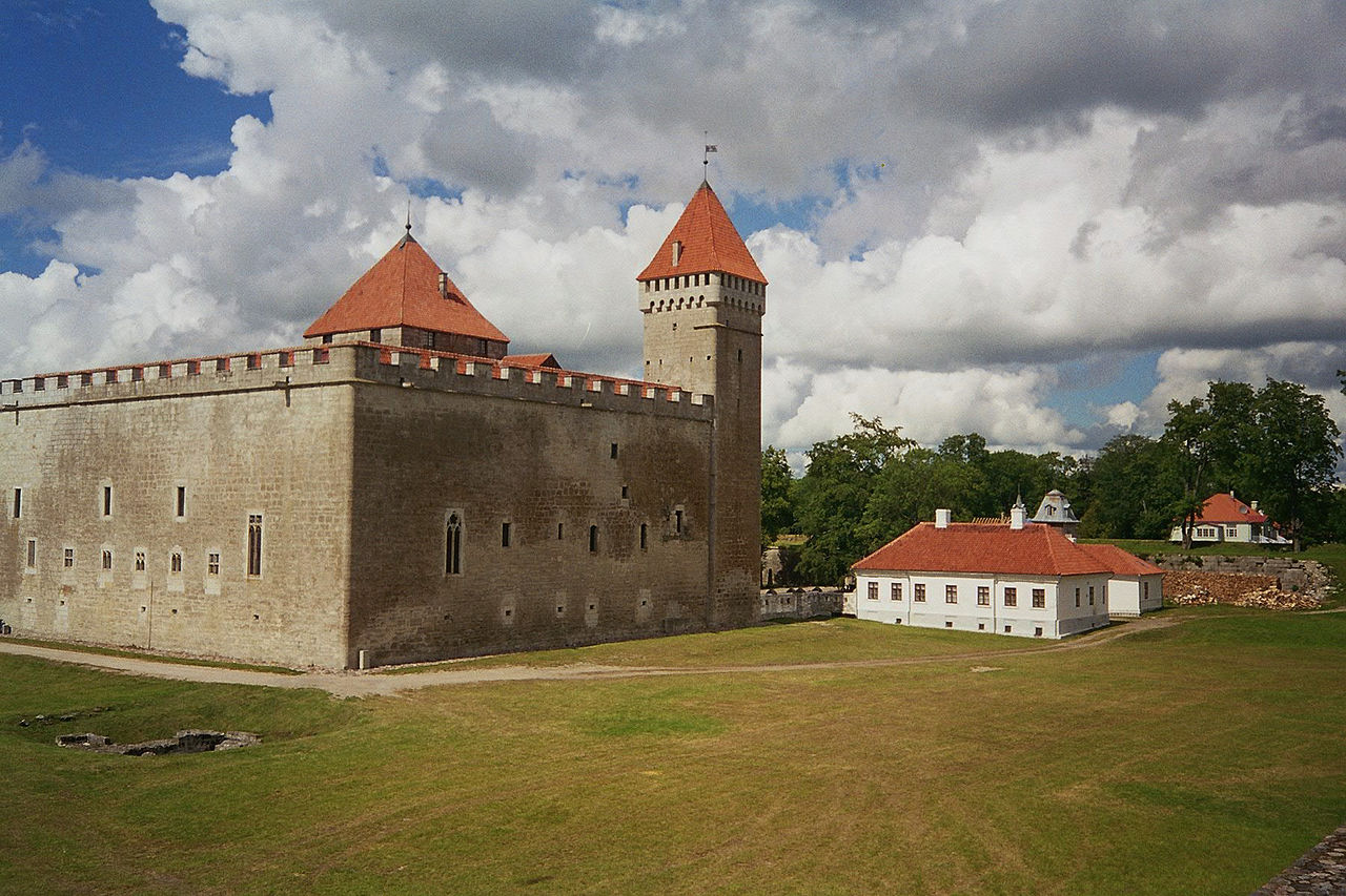
People have lived on Saaremaa since prehistoric times. Throughout history the island has been influenced by Scandinavian, Germanic and Russian powers, and its medieval heritage includes fortified sites and churches. The county seat, Kuressaare, retains a prominent medieval castle and has long acted as the island’s administrative and cultural centre. Traditional island livelihoods included fishing, small-scale farming and seafaring.
Culture, economy and modern life
Today Saaremaa combines agriculture, forestry and growing tourism. Kuressaare is known for spas and cultural events, while rural areas preserve folk crafts, dialect and seasonal festivals. Visitors are drawn to birdwatching, cycling routes, coastal scenery and historic villages. Renewable energy and small manufacturing are also part of the local economy, alongside services that support visitors and residents.
Notable attractions and conservation
- Kaali crater complex and associated visitor sites.
- Kuressaare Castle and the town’s spa facilities.
- Coastal meadows, migratory bird habitats and protected natural reserves.
- Traditional windmills, juniper landscapes and island crafts.
Saaremaa is distinct both for its size within Estonia and for a cultural landscape shaped by maritime life and varied natural habitats. Its blend of historical sites, geological curiosities and island traditions keeps it an important destination for those studying Baltic ecology, regional history and folk culture.
Questions and answers
Q: What is the largest island in Estonia?
A: The largest island in Estonia is Saaremaa.
Q: How big is Saaremaa island?
A: Saaremaa island is 2,673 km2 (1,032 sq mi) in size.
Q: Where is Saaremaa island located?
A: Saaremaa island is located in the Baltic Sea, south of Hiiumaa island and west of Muhu island.
Q: To which Estonian archipelago does Saaremaa belong?
A: Saaremaa island belongs to the West Estonian Archipelago.
Q: What is the highest point on Saaremaa island?
A: The highest point on Saaremaa island is 54 m above sea level.
Q: What is the Kaali crater and where is it located?
A: The Kaali crater is a feature found on Saaremaa island.
Q: What is one of the symbols of Saaremaa island?
A: One of the symbols of Saaremaa island is the juniper.
Related articles
Author
AlegsaOnline.com Saaremaa: Estonia’s largest island — geography, history and culture Leandro Alegsa
URL: https://en.alegsaonline.com/art/85071
Sources
- saaremaa.ee : Official Web page of Saaremaa
- commons.wikimedia.org : Saaremaa
- en.wikivoyage.org : Saaremaa