
Sabine River (Texas–Louisiana)
A major river of the Gulf Coast plain, the Sabine forms part of the Texas–Louisiana state line and flows into Sabine Lake and the Gulf of Mexico; important for water supply, recreation, and wetland habitats.
Overview
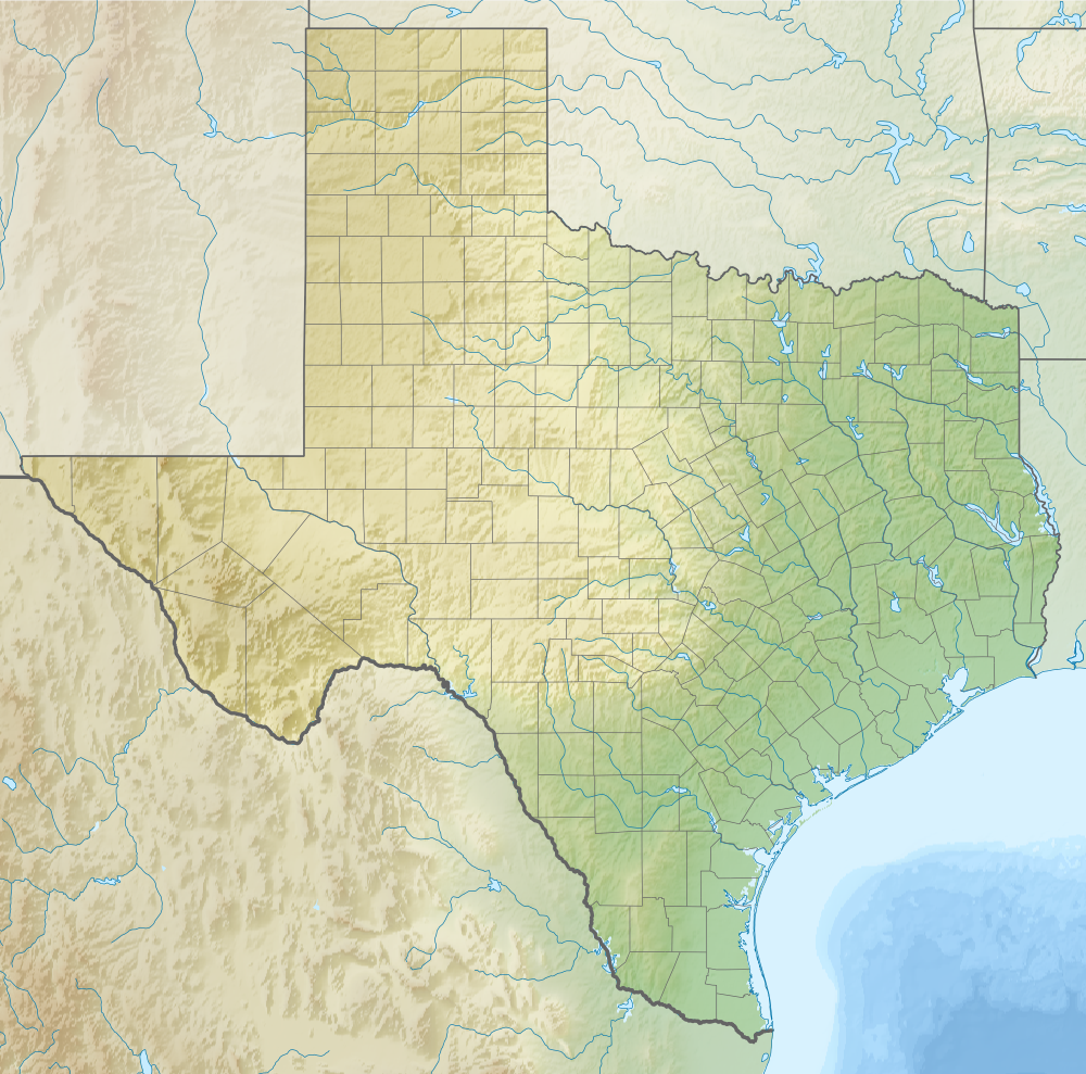
The Sabine River is a prominent waterway of the U.S. Gulf Coast plain. Rising in eastern Texas, it travels generally southeast and eventually reaches the coastal estuary system before flowing to the Gulf of Mexico. Its lower course helps mark the state boundary between Texas and Louisiana. For regional reference and navigation charts see a river map.
Image gallery
5 Images


Course and characteristics
The river begins in the uplands of western portions of the coastal plain and moves through forests, agricultural valleys and broad floodplains on its way toward the coast. Along its route the Sabine is impounded in places to form reservoirs and lakes used for flood control and recreation. The waterway interacts with tidal influences near its mouth and contributes freshwater to the estuarine complex that connects with the Gulf. Much of the river’s watershed lies in Texas, with significant portions in Louisiana as well.
Natural features and name
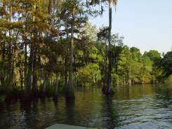
The lower Sabine flows through swampy, cypress-lined bottomlands. Large stands of bald cypress and other wetland trees are a characteristic feature of the river’s floodplain. The river’s common name derives from an early Spanish term associated with cypress trees; many local place names and cultural references reflect these trees and wetlands. Nearby saltwater and brackish areas form part of the coastal ecosystem around Louisiana, where fresh and salt waters meet.
History and etymology
European explorers and colonial administrations used the river as a geographic reference while defining territorial limits and navigation routes. After the United States acquired territory in the region, the Sabine figured in state boundary arrangements and in commerce between inland settlements and the coast. The name’s origin links to Spanish-language terminology; historically the river’s vegetation made a strong impression on early mapmakers and settlers, and the linguistic connection to Spanish words for certain trees is widely cited (see Spanish sources).
Uses, ecology, and conservation
The Sabine River supports a mix of uses: municipal and industrial water supply, power-generation cooling water, sport and commercial fishing, boating and shoreline recreation, and significant wildlife habitat. Its marshes and cypress swamps provide nesting and feeding grounds for birds, nursery areas for fish and shellfish, and natural flood attenuation. The river system flows into the coastal estuary and ultimately the Gulf of Mexico, so upstream activities influence coastal water quality and fisheries.
Notable facts and regional importance
Several reservoirs and management facilities on the Sabine serve both states for flood control and water regulation; local banks, communities and businesses bear the river’s name and identity. The river remains important to regional recreation and conservation, and it illustrates the close links between inland watersheds and coastal environments. The presence of cypress and other wetland vegetation gives the Sabine a distinctive natural character often noted in guides and local histories; the association with the Spanish term for cypress is reflected in place names and cultural memory (cypress).
Related articles
Author
AlegsaOnline.com Sabine River (Texas–Louisiana) Leandro Alegsa
URL: https://en.alegsaonline.com/art/85104