
Radcliffe Line
The Radcliffe Line was the 1947 boundary drawn to separate British India into India and Pakistan. It shaped Punjab and Bengal, triggered mass migration and violence, and remains central to South Asian borders.
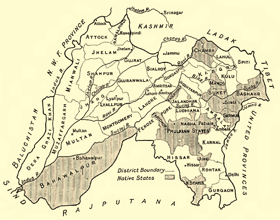
The Radcliffe Line is the name given to the boundary drawn in 1947 to separate the newly independent states of India and Pakistan. Conceived during the end of British rule, it converted administrative demarcation into an international border and divided large provinces — most notably Punjab and Bengal — with lasting political and human consequences. The line was announced shortly after independence and came into effect in August 1947.
Image gallery
5 Images


Background
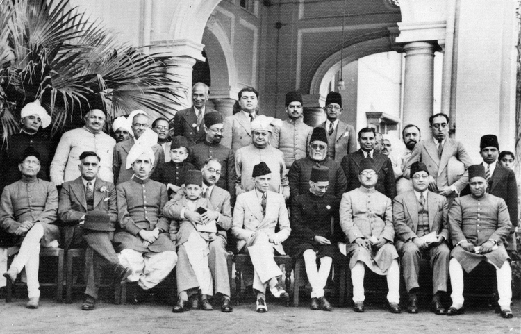
The immediate cause for the Radcliffe Line was the decision to partition British India along largely religious lines during the Partition of India. Two Boundary Commissions were established to draw divisions for Punjab and Bengal. Their task was to allocate roughly 175,000 square miles of territory containing tens of millions of people so that Muslim-majority and non-Muslim-majority districts would become part of Pakistan or India respectively. In Bengal the division resulted in West Bengal remaining with India and East Bengal joining Pakistan; the eastern portion later became Bangladesh.
Commission and process
Sir Cyril Radcliffe, a British lawyer with no prior experience in India, chaired the commissions and produced the final maps under severe time pressure. He had only weeks to examine local conditions, census material and maps, and he relied on limited hearings and advice from local officials. The commissions considered population majorities, administrative convenience, communication links, irrigation and economic assets, but many lines cut across social and economic networks.
Challenges and immediate consequences
The short timeframe, imperfect data and the mixed distribution of communities produced difficult choices and many contested districts. Announcement of the line triggered large-scale migration as Muslims, Hindus and Sikhs moved across new borders. Widespread communal violence, loss of life, and the displacement of millions were among the tragic outcomes associated with partition and the boundary demarcation.
Legacy and notable facts
The Radcliffe Line remains the basis of the international border in much of the India–Pakistan boundary visible today and affected the geopolitical map of South Asia. It split Punjab between the two countries and divided Bengal into West Bengal and East Bengal. Some border sectors became longstanding sources of dispute, and the line shaped transport, water and property arrangements that required further negotiation in succeeding decades.
- Final maps were announced in August 1947 and implemented immediately.
- The commissions sought to balance population majorities with administrative and economic factors.
- The partition and line influenced later events, including the creation of modern Bangladesh and ongoing India–Pakistan relations.
- For historical context and original documents consult primary archives or specialized studies via resources such as official boundary records.
Related articles
Author
AlegsaOnline.com Radcliffe Line Leandro Alegsa
URL: https://en.alegsaonline.com/art/80730