
Powys — county and principal area in mid‑Wales
Powys is the largest county in Wales by area, spanning uplands and valleys. It preserves historic counties, a rural economy, sparse population and links to the medieval Kingdom of Powys.
Overview
Powys, officially the County of Powys (Welsh: Sir Powys), is a large principal area and ceremonial county of Wales. The modern administrative unit is often described simply as the county of Powys. Its name derives from the medieval Kingdom of Powys, one of several successor polities that emerged in the British countryside after the end of Roman rule in Britain during the early Middle Ages.
Image gallery
6 Images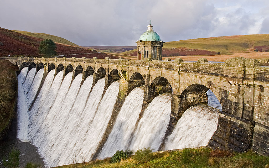


Geography and extent
Powys occupies a large central-eastern portion of Wales and brings together several historic counties. Modern Powys includes much of Montgomeryshire and Radnorshire and most of Brecknockshire, together with a small part of Denbighshire. Covering roughly 2,000 square miles (about 5,200 km²), it is the biggest single local authority area in Wales, comparable in land area to the island state of Trinidad and Tobago. It borders English counties such as Shropshire and Herefordshire, and Welsh neighbours including Gwynedd, Wrexham and Denbighshire to the north, Ceredigion to the west and counties to the south such as Monmouthshire. Much of the area is mountainous, a landscape that shapes settlement, transport and land use.
Settlements and population
Powys has the lowest population density of Wales’s principal areas. Its communities are relatively small and widely dispersed. Principal towns include:
- Newtown (town and service centre)
- Ystradgynlais (largest town on the western margins)
- Brecon (market town and gateway to uplands)
- Welshpool (river town and agricultural hub)
Because of this rural pattern, many residents rely on market towns for services and long-distance travel is often necessary for higher-level health, education and commercial facilities.
History and identity
The region now called Powys has a long continuity of settlement and a distinct identity rooted in its medieval kingdom. Over centuries it experienced border influences from the English March and internal Welsh politics; later administrative reforms in the 19th and 20th centuries altered county boundaries and created the present unitary authority. Welsh language and culture remain important in many communities, alongside a history of farming, small-scale industry and craft.
Economy, land use and tourism
Agriculture — particularly sheep and hill farming — forestry and conservation occupy much of the land. Parts of Powys lie within national park and protected landscapes, drawing outdoor recreation such as walking, cycling and nature tourism. Historic towns, castle ruins and cultural festivals contribute to a tourism economy that complements local services and small businesses.
Administration and transport
Powys is governed by a county council responsible for local services across a broad and varied territory. Transport infrastructure is shaped by topography: main roads and some rail links connect the larger towns, but many valleys and upland areas remain accessible only by rural roads, which affects service delivery and development patterns. Conservation of the landscape and support for rural communities are ongoing priorities for policy and local planning.
Further reading and official information are available from local and national sources.
Related articles
Author
AlegsaOnline.com Powys — county and principal area in mid‑Wales Leandro Alegsa
URL: https://en.alegsaonline.com/art/78567