Monmouthshire: county of southeast Wales
Monmouthshire is a historic and ceremonial county in southeast Wales. This article summarizes its geography, towns, administrative history, governance, economy, transport and notable places.
Overview
Monmouthshire is a county in the southeastern part of Wales, lying close to the border with England in Great Britain. The county combines a varied rural landscape of river valleys and hills with urban centres and market towns. For a general reference to its extent and position see a county map (Monmouthshire map).
Image gallery
10 Images


Geography and landscape
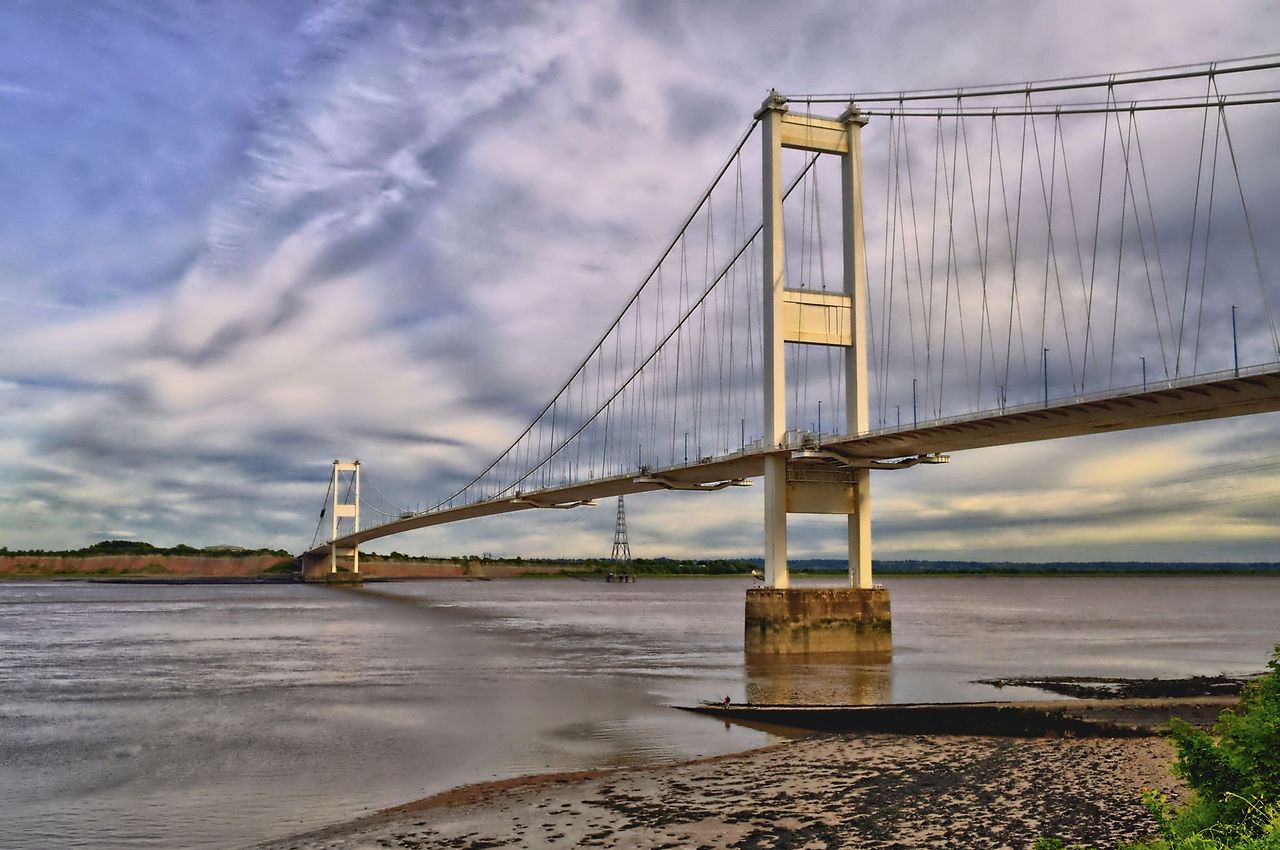
The area is shaped by the valleys of the River Wye and the River Usk and includes attractive wooded slopes and farmland. Areas of scenic importance such as the Wye Valley Area of Outstanding Natural Beauty lie in and near the county, and the uplands to the north approach national park country. Rivers, walking routes and historic towns make the county popular for outdoor recreation and countryside tourism.
Principal towns and communities
Newport is the largest urban centre and a regional commercial and transport hub. Monmouth is traditionally recognised as the county town and retains a strong historic identity, while other important settlements include Cwmbran, where county-level administration has been based at times, and Abergavenny, known for markets and cultural events. Each town contributes to the county's mix of services, retail and local industry; see also the historic centre of Monmouth and references to the county town role.
History and administrative changes
Monmouthshire's constitutional status has been distinctive. From the late medieval period until modern times its administration was sometimes treated differently from other Welsh counties. At the end of the Middle Ages some of these distinctions began to take shape (late medieval period), and in the 20th century Parliament took steps to clarify the county's position. The Local Government Act passed in 1972 led to Monmouthshire being formally placed within Wales from 1974 onwards (1974 reforms) and later reorganisations in the 1990s created new unitary authorities and altered boundaries. Discussions in national government and at Parliament over the years have influenced local identity and administration.
Governance and services
Today the area is covered by local authorities responsible for education, planning, social services and transportation. The relationship between historic county boundaries and current administrative areas means that some services and civic institutions are based in different towns, reflecting both modern needs and long-standing local identities.
Economy, transport and culture
The local economy combines agriculture, light industry, manufacturing, retail and public services, together with a growing tourism sector centred on heritage sites and outdoor activities. Transport links include major road corridors and rail connections that link towns in Monmouthshire to regional centres. Cultural life draws on Welsh traditions and local festivals; markets, historic houses, medieval castles and river-side attractions are important for residents and visitors.
Landmarks and visitor attractions
- Medieval and post-medieval castles and ruins that illustrate the borderland history of the region.
- Roman remains and historic town centres offering architectural interest and local museums.
- Riverside walks, nature reserves and sites of scenic and conservation interest popular with walkers and anglers.
Further reading and resources
For more detail on particular places, events and administrative history consult local archives, county guides and regional histories. Local tourism offices and community organisations provide visitor information and practical resources for exploring Monmouthshire and its towns such as Cwmbran, Monmouth and Abergavenny. General references to the county and its position within Wales and Britain are available via regional portals (county overview, Wales, Great Britain), and historical timelines note the late medieval origins of some institutions (late medieval), the changes of 1974 and related debates in Parliament that shaped modern administration.
Related articles
Author
AlegsaOnline.com Monmouthshire: county of southeast Wales Leandro Alegsa
URL: https://en.alegsaonline.com/art/66084