
Ordnance Survey
National mapping agency of Great Britain producing detailed maps, digital geographic data and the OS National Grid; headquartered in Southampton and serving government, businesses and the public.
Overview
The Ordnance Survey is the national mapping organisation responsible for creating and maintaining detailed topographic maps and geographic data for Great Britain. It operates as a public sector body and works closely with the Government of the United Kingdom to provide authoritative spatial information. The organisation's main headquarters is in Southampton, and it fulfils both public-facing roles and specialised services for public authorities.
Image gallery
10 Images


History and development
The Ordnance Survey traces its origins to military mapping needs in the late 18th century, including early triangulation work that laid the foundations for systematic national surveying. Over time the organisation transitioned from purely military aims to comprehensive civilian mapping, establishing standards and methods that support accurate land representation across the country.
Products and characteristics
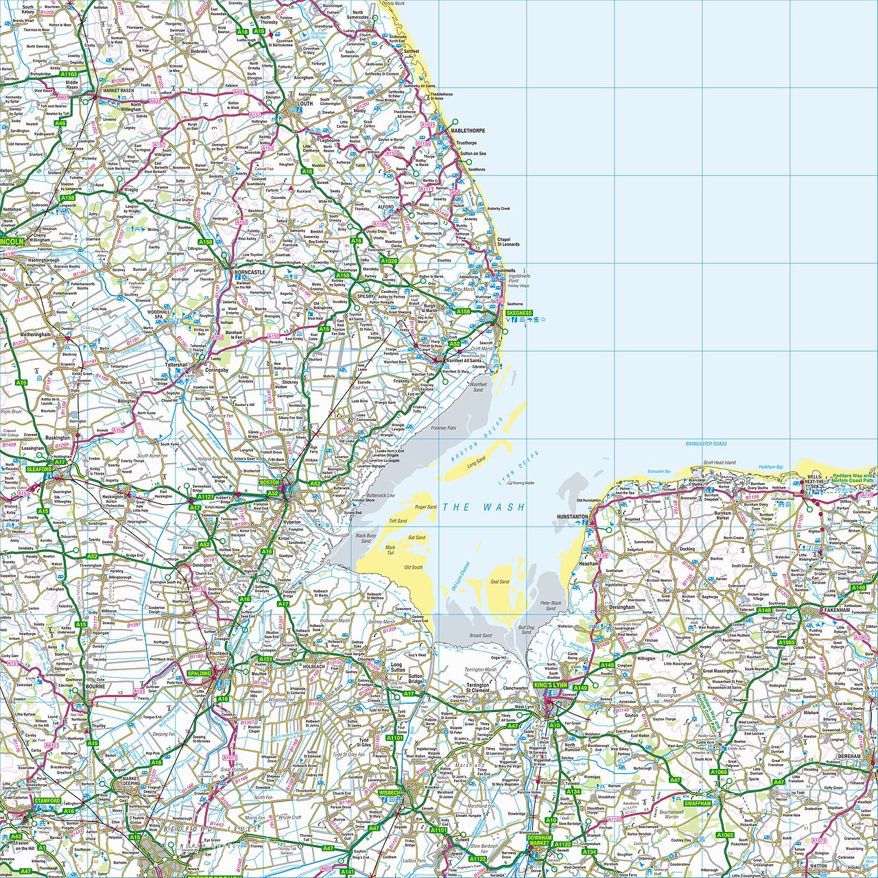
OS produces a range of traditional and modern products suitable for different users. Key characteristics include high-resolution topographic detail, standardized symbology and a consistent national grid reference system that underpins many services.
- Paper and digital map series for outdoor recreation and navigation.
- Vector and raster digital datasets for planning, GIS and mobile applications.
- Web services, APIs and bespoke mapping for commercial and public-sector clients.
Uses and importance
Ordnance Survey data is widely used for land-use planning, infrastructure design, emergency response, environmental management and leisure. Its authoritative datasets enable accurate addressing, property boundaries, transport routing and detailed analysis by businesses, local authorities and researchers.
Organisation and public role
Operating as a government-related agency, Ordnance Survey balances free public access to some datasets with commercial licensing of enhanced services. In recent decades it has expanded digital offerings, APIs and open-data releases while continuing to publish traditional maps that remain popular with walkers and planners alike.
As the principal mapping body for the nation, Ordnance Survey provides the spatial framework used by many systems and services across Great Britain and acts as a reference source for geographic information, navigation and land management.
For further official information and services consult the organisation's site and materials via the links provided above.
Related articles
Author
AlegsaOnline.com Ordnance Survey Leandro Alegsa
URL: https://en.alegsaonline.com/art/73042
Sources
- ordnancesurvey.co.uk : "Who we are"