Orange River (Oranje / Senqu)
A major river of southern Africa, the Orange River (Oranje or Senqu) flows from the Lesotho highlands to the Atlantic, forming borders, supplying water for irrigation and hydropower, and supporting diverse landscapes.
Overview
The Orange River, also called the Oranje in Afrikaans and the Senqu in Sesotho, is one of southern Africa's principal rivers. It runs roughly 2,160 kilometres from its headwaters in the highlands of Lesotho to its mouth on the Atlantic Ocean. Along much of its lower course the river defines the international boundary between South Africa and Namibia.
Image gallery
10 Images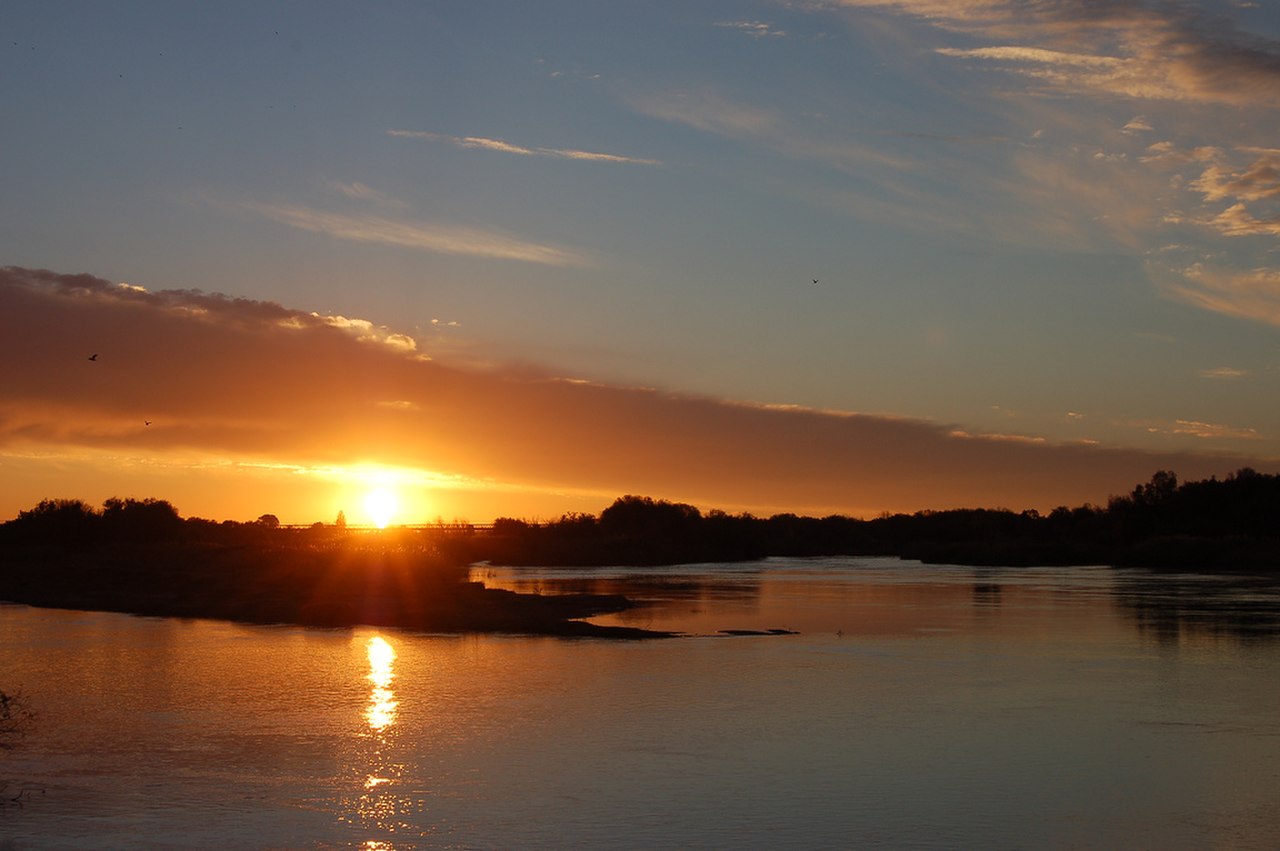


Course and main features
The Orange rises in mountainous terrain where snowmelt and rainfall supply perennial flow. It receives several tributaries as it descends, cutting through plateaus and arid basins before reaching the coastal plain. Major engineered reservoirs and dams on the river and its tributaries regulate flow for irrigation and water supply.
Characteristics and uses
The river traverses diverse environments, from alpine grasslands to semi-desert. Its water is vital for agriculture in otherwise dry regions, supporting irrigation schemes, vineyards and fruit farms in the interior valleys. Hydroelectric and storage dams provide power and buffer seasonal variability; the river's alluvial areas have also been sources of mineral deposits.
History and human significance
Indigenous peoples, colonial expeditions and later national governments have all relied on the Orange for transport, water and frontier demarcation. Settlements and towns grew along its banks where water and fertile soils permitted farming. Because it forms an international border, the river has been important in regional treaties and water-sharing agreements.
Ecology and conservation
The Orange supports riparian vegetation and aquatic habitats that are adapted to strong seasonal changes. Conservation concerns include reduced flows from over-abstraction, pollution from agriculture and industry, spread of invasive plants, and the effects of changing rainfall patterns. Cross-border management programs aim to balance human uses with ecosystem health.
Notable facts
- Known by several names: Senqu in Lesotho, Oranje in Afrikaans, and Orange in English.
- Forms an important natural and political boundary between nations.
- Contains major dams and irrigation projects that underpin regional agriculture and energy.
Related articles
Author
AlegsaOnline.com Orange River (Oranje / Senqu) Leandro Alegsa
URL: https://en.alegsaonline.com/art/72952