
Ordnance Survey National Grid
A coordinate and mapping system used across Great Britain by Ordnance Survey; divides the country into lettered 100 km squares and numeric eastings/northings for metre-level precision.
The Ordnance Survey National Grid is the primary mapping reference used across Great Britain for topographic maps and many datasets published by the national mapping agency, the Ordnance Survey. It was developed in the 20th century to provide a simple, uniform way of specifying locations on maps of Britain that is easier to use for land navigation and surveying than raw latitude and longitude.mapping Great Britain may also be expressed in global geographic coordinates, but the National Grid is tailored to national-scale mapping and practical use on printed and digital maps.
Image gallery
1 Image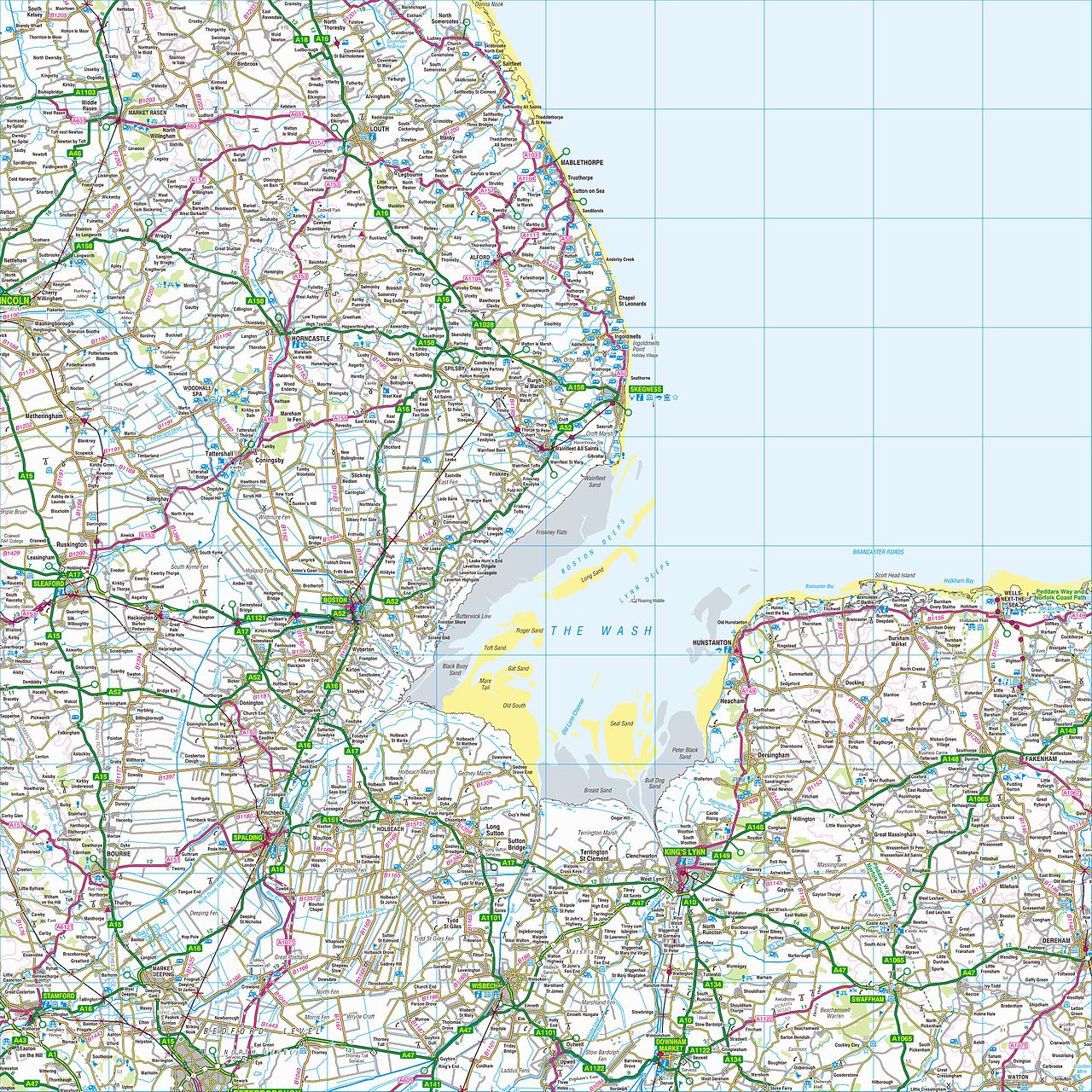
How the grid is structured
The system overlays a Cartesian grid on a map projection of Britain and labels large squares with pairs of letters followed by numeric eastings and northings. First, the country is split into 500 km squares identified by a single letter; only a few such squares contain significant land area. Each 500 km square is subdivided into 25 100 km-by-100 km squares, each given a second letter (the alphabet letter I is omitted). Within any 100 km square, a point is then located by giving the distance in metres east and north from the square's southwest corner.
Grid references are conventionally written as a two-letter code followed by an even number of digits. The number of digits controls precision: a 4-figure numeric part (two digits east, two digits north) gives a 1 km square; 6 figures give 100 m; 8 figures give 10 m; and 10 figures give 1 m precision. For example, a reference such as NH 03 25 indicates a 1 km square whose southwest corner lies 3 km east and 25 km north inside the 100 km square labeled NH. A more precise reference, NN 166 712, identifies the 100-metre square containing the summit of Ben Nevis.
Technical basis and distinctions
The grid is tied to a national map projection and geodetic datum rather than the global WGS84 system used by GPS. That technical choice reduces distortion over Britain and simplifies measurements on large-scale maps, but it means coordinates are not identical to raw latitude/longitude values and often require transformation when combining with GPS data or international datasets. The system therefore sits alongside, rather than replacing, geographic coordinates such as latitude and longitude.
History and development
The grid was introduced by the national mapping authority to standardize references across its surveys and map series. It evolved from earlier triangulation and survey work and was formalised to support large-scale mapping, administration and land management. Over time the grid has been incorporated into digital mapping products, geographic information systems (GIS) and online mapping services, enabling precise spatial queries and data linking for the whole mainland and many adjoining coastal areas; some marginal squares include tidal or intermittently submerged land, such as small parts of North Yorkshire that fall in an otherwise maritime cell (North Yorkshire).
Uses and practical examples
The National Grid is widely used by hikers, planners, emergency services, archaeologists and utility companies because it provides compact, human-readable references that work well on printed maps and GPS devices set to the national grid. Typical practical tasks include plotting routes, describing the location of features or incidents, and joining attribute data to mapped features in GIS. Many map-reading guides explain how to read the lettered square, estimate bearings and convert between the grid and GPS coordinates.
Notable points and further reading
- The grid’s two-letter prefix locates a 100 km square; digits refine the position within it.
- Precision increases with the number of digits: 4, 6, 8, 10-digit numeric parts correspond to 1 km, 100 m, 10 m and 1 m squares respectively.
- Because the system uses a national datum and projection, simple lookups may require coordinate transformation to match satellite-based systems.
Questions and answers
Q: What is the Ordnance Survey National Grid?
A: The Ordnance Survey National Grid is a system used to map Great Britain. It was created by the Ordnance Survey (OS) and is different from using latitude and longitude.
Q: How does the system divide the map?
A: The system divides the map into squares, with each square labelled with two letters. The first letter refers to squares that are 500 km by 500 km, while for the second letter each 500 km square is divided into 25 squares that are 100 km by 100 km.
Q: How can locations be specified within a lettered square?
A: Locations within a lettered square can be specified by giving the distance east and north from the southwest corner of the square. For example, NH0325 (or NH 03 25) means a one-kilometre square whose southwest corner is 3 km east and 25 km north from the southwest corner of square NH.
Q: What are some of these large squares outlined in dark grey on maps?
A: These large squares outlined in dark grey on maps include S, T, N and H - only four of these have a lot of land area in Great Britain. The O square contains a tiny area of North Yorkshire which normally most of this area is submerged at high tide.
Q: How do you label smaller areas inside a lettered square?
A: Smaller areas inside a lettered square can be labelled by giving their grid reference which specifies their distance east and north from its southwest corner. For example, NN 166 712 gives the location of Ben Nevis' summit which lies in an area smaller than one kilometre squared.
Q: What letters are used to label each 100km x 100km section?
A: Each 100km x 100km section has its own letter code ranging from A to Z (excluding I). Letters start with A in northwest corner and go to Z in southeast corner.
Q: Is there an example given for how this works?
A: Yes - NH0325 (or NH 03 25) means a one-kilometre square whose southwest corner is 3 km east and 25 km north from the southwest corner of Square NH
Related articles
Author
AlegsaOnline.com Ordnance Survey National Grid Leandro Alegsa
URL: https://en.alegsaonline.com/art/73041
Sources
- geograph.org.uk : OV0000 a unique grid square at Beast Cliff
- ordnancesurvey.co.uk : "The true origin"