
Mount Curdie (Petermann Ranges, Northern Territory)
Mount Curdie is a 958 m peak in the Curdie Range of the Petermann Ranges, central Australia. It is notable for its geography, Aboriginal associations, and its naming by explorer Ernest Giles.
Overview
Coordinates place Mount Curdie in central Australia as a prominent mountain in the Northern Territory of Australia. With an elevation of about 958 metres, it is the highest summit in the Curdie Range, itself a segment of the broader Petermann Ranges. The peak sits above the southern bank of the Hull River and overlooks a valley that contains culturally important sites.
Image gallery
2 Images
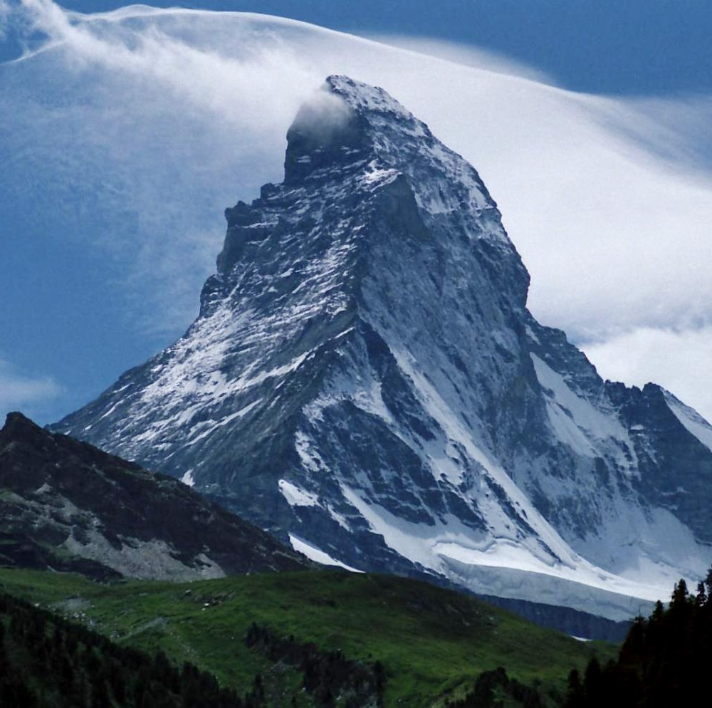
Physical characteristics and environment
Mount Curdie rises from arid, rugged terrain typical of central Australian ranges. The slopes and surrounding ridges are composed of ancient, weathered rock formations that form the backbone of the Petermann system. Vegetation is adapted to low and unpredictable rainfall and commonly includes spinifex grasses, acacias and other drought-tolerant shrubs. Native fauna in the area mirror the wider central-desert assemblage: reptiles, small marsupials and bird species that use rocky outcrops and riverine refuges.
Location, access and nearby features
The mountain stands roughly 40 kilometres southeast of the community of Kaḻṯukatjara and is approached most commonly from the north via the Great Central Road. The Hull River valley at the mountain's base contains a place known to local Aboriginal people as Tjunti, notable for the site called Lasseter's Cave. The region is remote; visitors should plan for long distances, limited services and to follow directions of local landholders and custodians.
History and naming
Mount Curdie was named on 13 March 1874 by the explorer Ernest Giles during his first crossing of the Petermann Ranges. Giles chose the name to honour Dr Daniel Curdie, a subscriber to Giles' expedition fund, and afterwards applied names to several neighboring peaks such as Mount Fagan and Mount Miller. The naming reflects European exploration in the late 19th century and overlays a much longer Aboriginal connection with the landscape.
Significance and distinctions
As the highest point of the Curdie Range, Mount Curdie is a useful geographic reference within the Petermann system and a landmark in local travel and oral histories. The valley below, including Tjunti and its features, links natural shelter sites to stories and survival practices in a harsh environment. The mountain therefore has combined importance: as a physical high point, as part of a distinctive range system, and as a place embedded in both Aboriginal tradition and the recorded history of Australian exploration.
Quick facts
- Elevation: about 958 metres above sea level.
- Range: Curdie Range, part of the Petermann Ranges.
- Nearby features: Hull River valley, Tjunti (site of Lasseter's Cave), Great Central Road to the north.
- Naming: recorded by Ernest Giles, honoring Dr Daniel Curdie (patron).
- Setting: remote central Australian landscape with arid-adapted flora and fauna.
Related articles
Author
AlegsaOnline.com Mount Curdie (Petermann Ranges, Northern Territory) Leandro Alegsa
URL: https://en.alegsaonline.com/art/67019
Sources
- ntlis.nt.gov.au : "Curdie Range"
- books.google.com.au : Australia Twice Traversed