Petermann Ranges: geography, geology, ecology and human significance
A remote mountain chain in central Australia spanning Western Australia and the Northern Territory, known for ancient geology, arid biodiversity, and cultural significance to Indigenous peoples.
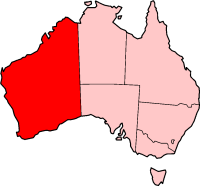
The Petermann Ranges are a rugged mountain system in central Australia that stretches roughly 320 km across the border between Western Australia and the southwest corner of the Northern Territory. Rising to a maximum height of about 1,158 metres above sea level, the ranges form an island of relief within an otherwise flat arid landscape and are a prominent physical and biological landmark in the region. The term Petermann Ranges is used collectively for a number of ridges, isolated peaks and intervening lowlands.
Image gallery
2 Images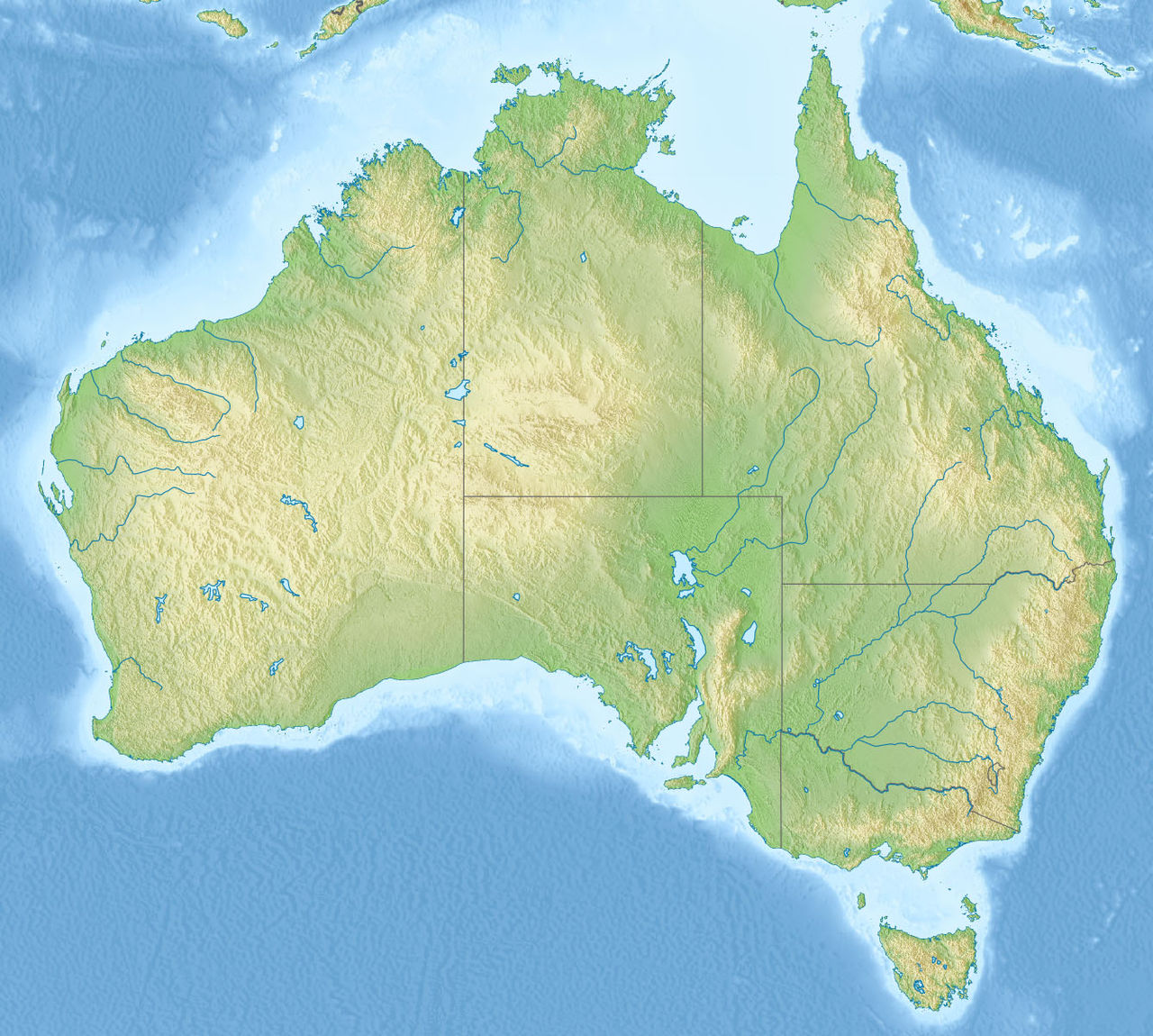
Geology and physical characteristics
The bedrock of the Petermann Ranges is very old and records a major mountain-building episode known as the Petermann Orogeny, which took place roughly 550 million years ago. The ranges are composed predominantly of granite, sandstone and quartzite, with outcrops, tors and folded strata visible where erosion has exposed the core. Weathering and erosion over geological time have produced steep scarps, narrow ridges and chains of hills separated by shallow valleys and drainage lines. Because of this diversity of landforms, the ranges contain microhabitats that differ markedly from the surrounding plains. Many descriptions note the ranges were originally formed in a single orogenic event and later modified by long-term erosion.
Layout and named sections
The greater Petermann complex includes numerous named ridges and hills. In the Northern Territory these include the Dean, Mannanana (also written as Mannanana), Ilyaralona, Curdie and Piultarana ranges, together with the Pottoyu Hills and several solitary mountains. In Western Australia portions such as the Hope and Dean Ranges form the western extent. These subdivisions are useful for navigation, land management and describing biological surveys.
Ecology and environmental importance
Although set within arid country, the ranges act as refuges for plant and animal species that are poorly represented on surrounding plains. Microclimates, rock pools and sheltered gullies support populations of shrubs, lichens and small trees, along with reptiles, birds and invertebrates adapted to rocky habitats. For these reasons the area is regarded as biologically important at a regional scale and has been the subject of conservation attention.
Human history, cultural value and naming
The ranges lie within the traditional lands of Indigenous peoples who have long-standing cultural connections to its features, songlines and water sources. European exploration brought new names and mapping: the explorer Ernest Giles recorded and named the ranges during his 1874 journeys. Today the area is shared between pastoral leases, conservation interests and Aboriginal land trusts; many sites retain spiritual and cultural significance for local communities.
Conservation, management and access
Conservation proposals have sought to recognise both the ecological values and Indigenous custodianship of the ranges. An indigenous protected area known in planning as the Katiti-Petermann Indigenous Protected Area has been proposed to conserve the native flora and fauna and to support traditional land management practices. Such initiatives emphasise protection of the ecosystem while enabling cultural use and carefully managed visitation. Access to the Petermann Ranges is remote: unsealed tracks and 4WD routes, seasonal conditions and the need for permits or local guidance mean that most visits are undertaken by experienced travellers or by arrangement with traditional owners and rangers.
- Geological age and composition: Petermann Orogeny, granite, sandstone, quartzite.
- Principal named parts: Dean, Mannanana, Ilyaralona, Curdie, Piultarana, Pottoyu Hills, Hope Range.
- Cultural note: named by Ernest Giles; living Indigenous connections and proposed IPAs to conserve the ecosystem.
Related articles
Author
AlegsaOnline.com Petermann Ranges: geography, geology, ecology and human significance Leandro Alegsa
URL: https://en.alegsaonline.com/art/76184
Sources
- nretas.nt.gov.au : "Petermann Ranges and surrounds"
- environment.gov.au : "Geology"
- abc.net.au : "Mystery mountain range explained"