Mizoram: geography, people, history and culture
Mizoram is a hilly state in northeast India known for its Mizo community, lush forests, distinctive festivals and a history of transition from a district to statehood in 1987.
Mizoram is a state in the northeastern region of India, characterized by steep hills, dense bamboo and broadleaf forests, and a largely rural population. Covering about 21,080 km² (roughly 8,139 square miles), it is larger than some small countries such as El Salvador but smaller than others like Israel. The name Mizoram means "land of the Mizo people," reflecting the dominance of related tribal groups who share a common cultural heritage. The state capital is Aizawl, and Mizoram became the 23rd state of India on 20 February 1987.
Image gallery
10 Images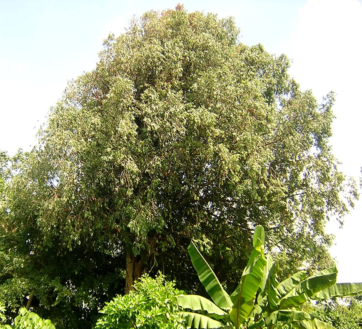


Location and environment
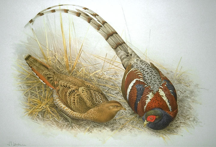
Mizoram lies in India's far east, south of the Brahmaputra valley, and forms part of the region often called the Seven Sister States. It shares international borders with Bangladesh and Myanmar, and internal borders with the Indian states of Tripura, Assam and Manipur. The terrain is dominated by the Lushai Hills (also called the Mizo Hills), with valleys carved by rivers and seasonal streams. Much of the state falls within the Indo-Burma biodiversity hotspot, and it contains several protected areas, including tiger and wildlife reserves.
People, language and culture
The population is relatively small compared with most Indian states; according to the 2011 census the state had about 1.09 million residents, making it one of the least populous states after Sikkim. The majority of inhabitants belong to various Mizo tribes who speak Mizo (also called Lushai) and several related dialects. English is used in administration and education. Christianity is the predominant religion, introduced widely during the 19th and 20th centuries, and its institutions have shaped modern social life, education and civic organization.
Festivals, arts and social life
Mizoram has a rich tradition of music, dance and handicrafts. Seasonal festivals mark agricultural cycles and communal celebrations; notable events include traditional festivals such as Chapchar Kut and Pawl Kut, which feature folk dances, music and customary attire. Handwoven textiles, bamboo crafts and weaving remain important cultural expressions and sources of local income.
History and administration
Historically the hills were known to British administrators as the Lushai Hills. In the modern period the area was administered as part of Assam under colonial rule, later became a union territory, and finally attained full statehood in 1987. Today Mizoram is governed through a state assembly and a chief minister, and is sub-divided into districts and local administrative units with Aizawl as the political and economic center.
Economy and infrastructure
The economy is largely agrarian, with rice, horticulture and small-scale farming as principal activities; traditional jhum (shifting cultivation) has declined in importance as more settled farming and cash crops have expanded. Forest resources, bamboo, and handicrafts contribute to livelihoods, while public services, education and remittances play growing roles. Aizawl is connected by road and by the Lengpui Airport to other regional hubs, and ongoing investments aim to improve connectivity and sustainable development.
Distinctive facts
- Mizoram is part of the Seven Sister States of northeastern India and is noted for its compact population and high social indicators relative to many neighboring regions.
- Its rich forest cover and geographic isolation have preserved considerable biodiversity and traditional cultural forms.
- Tourism is focused on natural scenery, tribal cultures and festivals, though access can be seasonal and requires attention to local regulations.
For more detailed government statistics, maps and travel guidance, consult regional resources and official state publications via authorized portals: border overview, neighbouring Tripura, Assam region, Manipur border, and international context links such as El Salvador, Israel, Sikkim and Myanmar.
Related articles
Author
AlegsaOnline.com Mizoram: geography, people, history and culture Leandro Alegsa
URL: https://en.alegsaonline.com/art/65627