Arroyo Seco — stream and watershed in Los Angeles County
Arroyo Seco is a seasonal stream and major tributary of the Los Angeles River. It flows from the San Gabriel Mountains through Pasadena and parts of Los Angeles, shaped by flood control, recreation, and restoration efforts.
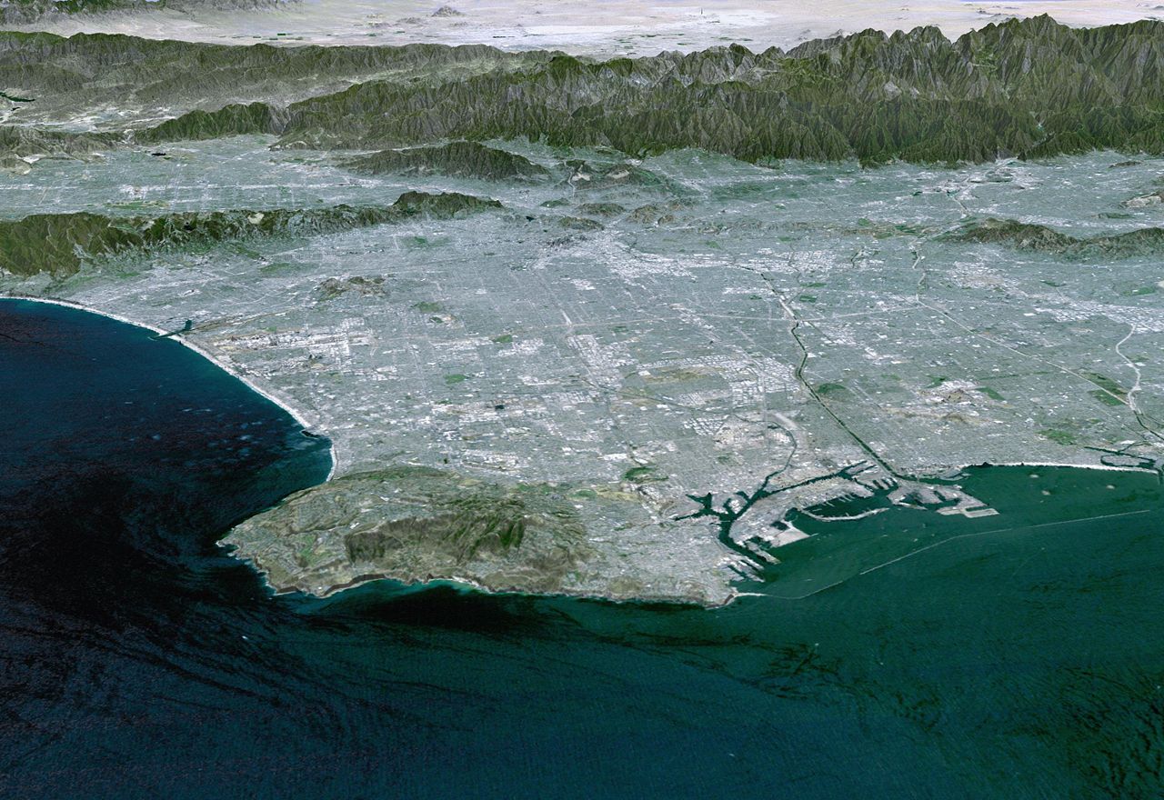
Overview: The Arroyo Seco (the name literally means "dry creek" in Spanish) is a notable watercourse and watershed in Los Angeles County, California. It functions as a major tributary to the Los Angeles River and has played an important role in regional flood control, transportation, and urban development. Although often dry in summer—hence its Spanish name—it carries stormwater runoff from the mountains to the river and has an extensive engineered channel through developed areas.
Image gallery
10 Images


Physical characteristics and course
The Arroyo Seco begins in the highlands near Mount Wilson and the San Gabriel Mountains, where mountain streams join to form the arroyo's upper reaches. Its watershed covers approximately 46.7 square miles (about 121 square kilometers). Early in its course the stream flows into a reservoir behind Devil's Gate Dam, a flood-control structure that moderates flows during storms. Downstream of the dam the channel is highly modified: through La Cañada Flintridge and Altadena it retains some natural character, but as it enters urban areas the waterway is largely confined to a concrete-lined channel.
Communities and landmarks along the arroyo
- The arroyo passes the western edge of La Cañada Flintridge and the eastern edge of Altadena.
- It flows through central Pasadena, where parks and civic facilities border the channel.
- Further downstream it travels through South Pasadena and then into the neighborhoods of northeastern Los Angeles, including Highland Park and Montecito Heights, before joining the Los Angeles River in Elysian Park.
History and development
The Arroyo Seco corridor was a natural travel and settlement route from the mountains toward the Los Angeles Basin. In the 20th century the arroyo became the focus of flood-control works and transportation projects. The construction of the Devil's Gate Dam and downstream concrete channels reduced flooding risk but also altered the stream's ecology. The corridor later served as the route for the Arroyo Seco Parkway, an early limited-access highway that connected Pasadena with downtown Los Angeles and influenced urban growth patterns.
Uses, recreation, and restoration
Today the Arroyo Seco supports a mix of uses. Its banks and adjacent parks provide recreational opportunities such as walking, cycling, and birdwatching; there are trail segments and green spaces that attract residents and visitors. Flood-control infrastructure remains critical to protect communities, while contemporary efforts emphasize habitat restoration, sediment management, and improved public access. Local groups, municipalities, and agencies collaborate on projects to balance flood safety with ecological function and recreation.
Ecology and notable facts
Although heavily modified in places, the Arroyo Seco still connects mountain habitats with urban river systems and can support native riparian plants and wildlife when conditions allow. Seasonal flow variability, urban runoff, and channelization challenge native ecosystems, so restoration work often focuses on removing invasive plants, improving water quality, and creating pocket habitats. The arroyo's name, its role as a tributary to the Los Angeles River, and its passage through several historic communities make it a distinctive feature of the region's geography and infrastructure.
For readers seeking more detailed information, local government and watershed organizations maintain studies and plans about the Arroyo Seco's hydrology, flood control measures, and restoration initiatives: see resources on the arroyo's name and pronunciation (Arroyo Seco term), stream characteristics (stream overview), county context (Los Angeles County), its role as a tributary, relationship to the Los Angeles River, the San Gabriel Mountains, the reservoir at Devil's Gate, and the communities of La Cañada Flintridge, Altadena, Pasadena, South Pasadena, and the Los Angeles neighborhoods it traverses.
Related articles
Author
AlegsaOnline.com Arroyo Seco — stream and watershed in Los Angeles County Leandro Alegsa
URL: https://en.alegsaonline.com/art/6171