Manora Island (Manoro) — Karachi's coastal islet and harbour barrier
Manora is a small island off Karachi, Sindh, Pakistan. It shelters Karachi harbour, hosts a prominent lighthouse, sandy shores and fragile mangrove habitats connected to the city by the Sandspit causeway.
Overview: Manora (also spelled Manoro) is a low-lying island located just south of the Port of Karachi in the province of Sindh, Pakistan. The islet forms part of the coastal fringe that separates Karachi harbour from the open waters of the Arabian Sea. It is compact in size: commonly cited figures list the area as about 2.5 km² (roughly 1.0 sq mi). The island’s approximate coordinates are 24°48′00″N, 66°58′00″E.
Image gallery
10 Images


Geography and access
Manora sits at the southern mouth of Karachi’s maritime approach and, together with nearby islets and sandbanks, creates a sheltered channel into the inner harbour. The island is linked to the mainland by a narrow sandy connection known locally as the Sandspit. This low-lying strip of sand and tidal flats extends along the outer coast and is often described in local sources as several kilometres long; various reports refer to it in terms such as 12 km or about 7 mi, reflecting different measurements and rounding. The island’s shoreline includes beaches, rocky points and sheltered bays used for fishing, boating and small-scale recreation.
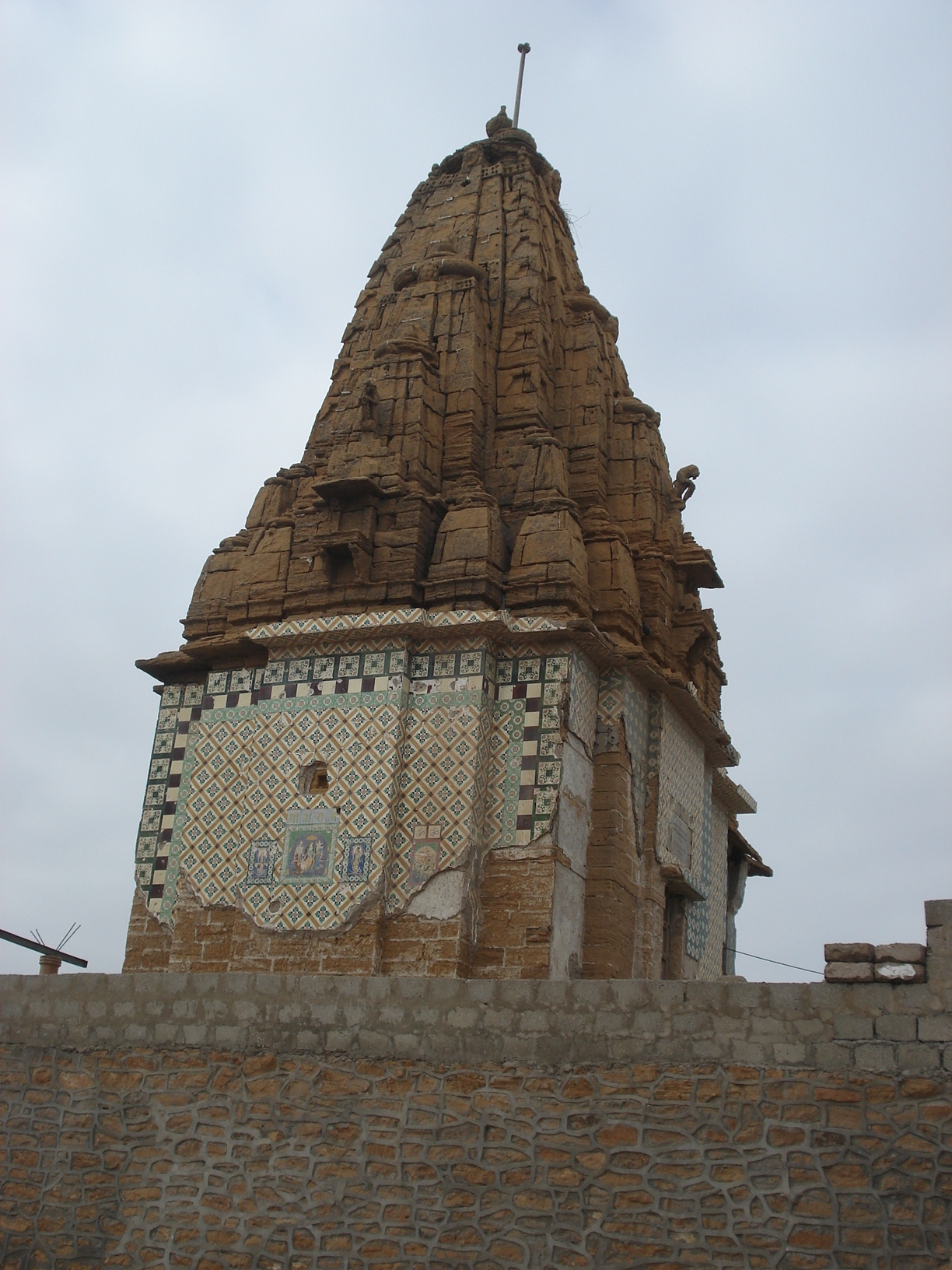
History and human use
For centuries the Manora area has been important to seafaring and local trade because it marks the entrance to Karachi’s deep-water facilities. Colonial-era and later installations were established to aid navigation and protect the port. Today the island supports light urban settlement, harbor-related activities and some tourism: visitors come for beaches, views of the city skyline and historical structures. A notable landmark is the Manora Point Lighthouse, a tall navigational tower frequently cited at about 38 m (125 ft) in height that helps guide ships approaching the harbour.
Ecology and conservation
Manora and the adjoining Sandspit provide habitat for coastal birdlife, intertidal organisms and stands of coastal vegetation. Fringing the western bay of the harbour are patches of mangrove forests, ecosystems that are both productive and vulnerable. These mangroves help stabilize the shoreline, support fisheries and act as nursery grounds for marine species, but they face pressure from urban expansion, pollution and land reclamation. Conservation efforts and environmental monitoring have been discussed by local authorities and NGOs to protect the island’s ecological values while balancing development needs.
Features and notable facts
- Manora functions as a natural breakwater, reducing wave action into Karachi harbour.
- The island has a mix of sandy beaches and rocky promontories used by fishermen and visitors.
- The Sandspit connection is a continuous coastal feature that links island to shore and supports local access.
- Manora Point Lighthouse is among the taller lighthouses in the country and remains an important maritime aid.
For practical information and further reading about local geography, ecology and travel, consult regional guides and official port publications. Relevant topics include the island’s location, outline mapping, the wider Karachi coastal zone, and efforts to manage mangrove conservation and shoreline stability.
Note: References to distances, sizes and protective features derive from commonly cited local data; variations in measurements appear in different sources and maps.
Related articles
Author
AlegsaOnline.com Manora Island (Manoro) — Karachi's coastal islet and harbour barrier Leandro Alegsa
URL: https://en.alegsaonline.com/art/61395