
Makassar Strait
A broad Indonesian seaway between Borneo and Sulawesi linking the Celebes and Java Seas; important for shipping, the Indonesian Throughflow, regional ports, fisheries and offshore energy.
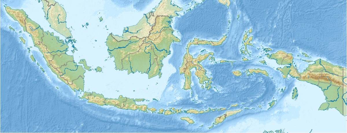
Makassar Strait is the major channel of water between the islands of Borneo and Sulawesi in Indonesia. Running generally north–south, the strait connects the Celebes Sea in the north with the Java Sea to the south. It forms an important passage for oceanic flow, regional shipping and the transport of marine species and sediments. The Mahakam River, one of Borneo’s main rivers, drains into the strait and contributes freshwater, nutrients and sediment to its coastal waters. Coordinates and mapping references are available via regional charting services (coordinates).
Image gallery
9 Images




Geography and oceanography
The Makassar Strait is a relatively deep and wide channel that serves as a conduit between the western Pacific and the eastern Indian Ocean. It is a central element of the Indonesian Throughflow, the ocean current system that moves warm, low-salinity water from the Pacific into the Indian Ocean. Currents in the strait vary seasonally with monsoon winds and tidal cycles; exchanges with adjacent seas create complex circulation patterns that influence local climate, marine productivity and navigation conditions.
Ports, settlements and human use
Coastal areas along the strait host several important ports and urban centers. Major ports include Balikpapan on Borneo, and Makassar and Palu on Sulawesi, which handle regional trade, transshipment and fisheries. Samarinda lies upriver on the Mahakam and is linked to the strait by river transport. Because the narrow Straits of Malacca can constrain very large vessels, the Makassar Strait is an alternative route for ships transiting between the Pacific and Indian Oceans or calling at eastern Indonesian harbors.
Ecology, resources and conservation
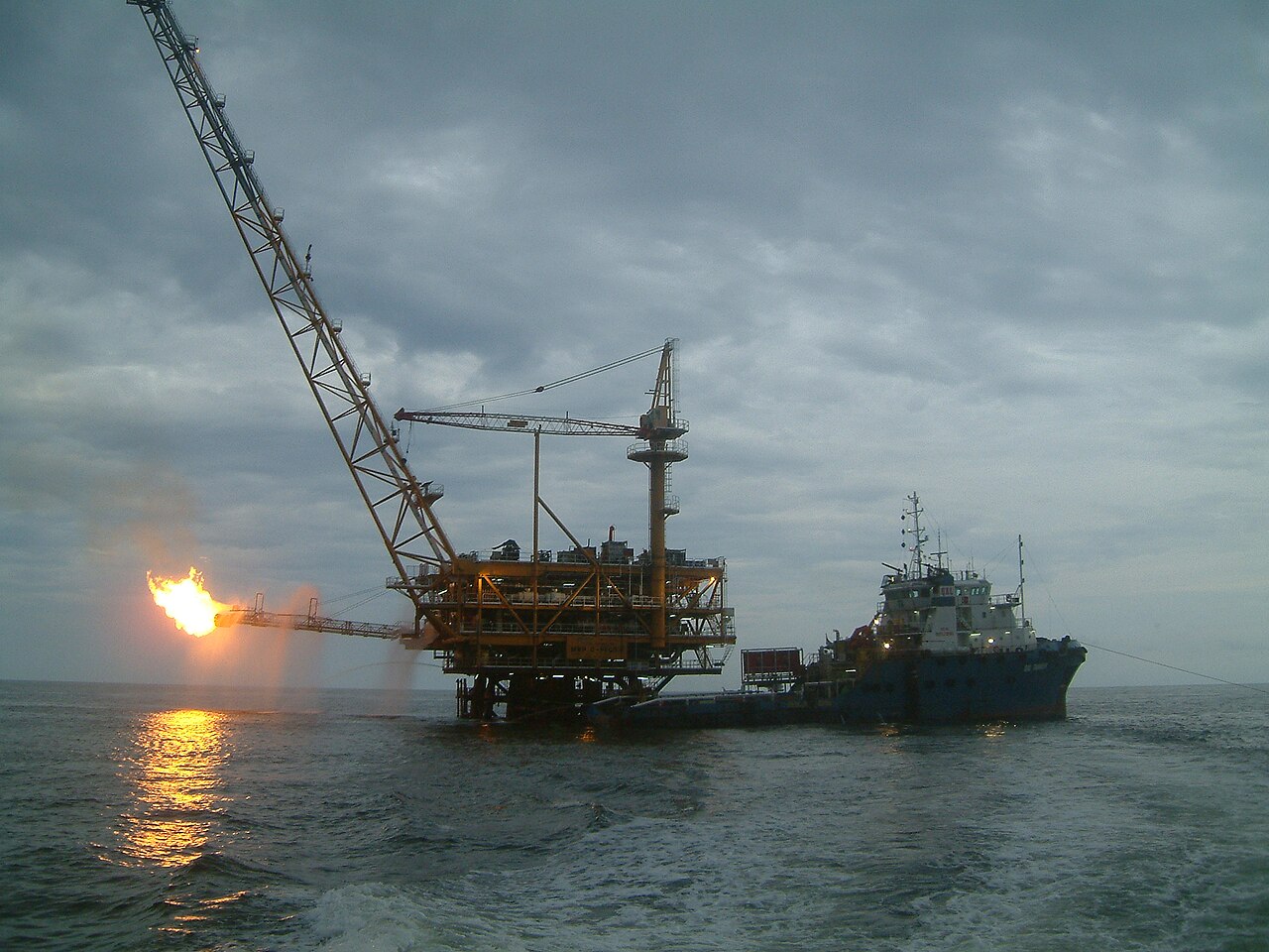
The coastal and offshore environments of the strait support diverse ecosystems: coral reefs, mangroves, seagrass beds and productive fisheries. River mouths and wetlands provide nursery grounds for fish and other marine life, but these habitats are sensitive to pressures such as coastal development, deforestation on nearby islands, river sedimentation and pollution from urban and industrial activities. Offshore areas adjacent to eastern Borneo and Sulawesi include oil and gas fields; resource extraction and shipping increase the need for environmental management and accident preparedness.
Significance and challenges
As both a strategic maritime corridor and an oceanographic pathway, the Makassar Strait has importance for navigation, regional economies and scientific study. It contributes to regional climate variability through the Indonesian Throughflow, supports fisheries that sustain coastal communities, and accommodates significant commercial shipping. Ongoing challenges include balancing development with conservation, managing shipping safety and reducing land-based impacts on coastal ecosystems.
For further information and maps consult regional maritime authorities and environmental organizations. Related entries: About the strait | Borneo | Sulawesi | Indonesia | Celebes Sea | Java Sea | Coordinates.
Related articles
Author
AlegsaOnline.com Makassar Strait Leandro Alegsa
URL: https://en.alegsaonline.com/art/60879