
Lakagígar (Laki): the 1783–84 fissure crater system in Iceland
Lakagígar (Laki) is a 25 km row of volcanic craters in southern Iceland, source of the 1783–84 Laki eruption that produced vast basaltic flows and widespread environmental and human impacts.
Overview: Lakagígar, commonly called Laki in English, is a linear series of volcanic craters stretching about twenty-five kilometres across the southern Icelandic Highlands. The name Lakagígar literally means "Laki craters." The feature is part of Iceland's larger volcanic rift systems and is best known for the catastrophic eruption of 1783–84 associated with the Laki fissure. For general descriptions and maps see crater maps and guides and regional accounts at Icelandic highlands resources.
Image gallery
5 Images


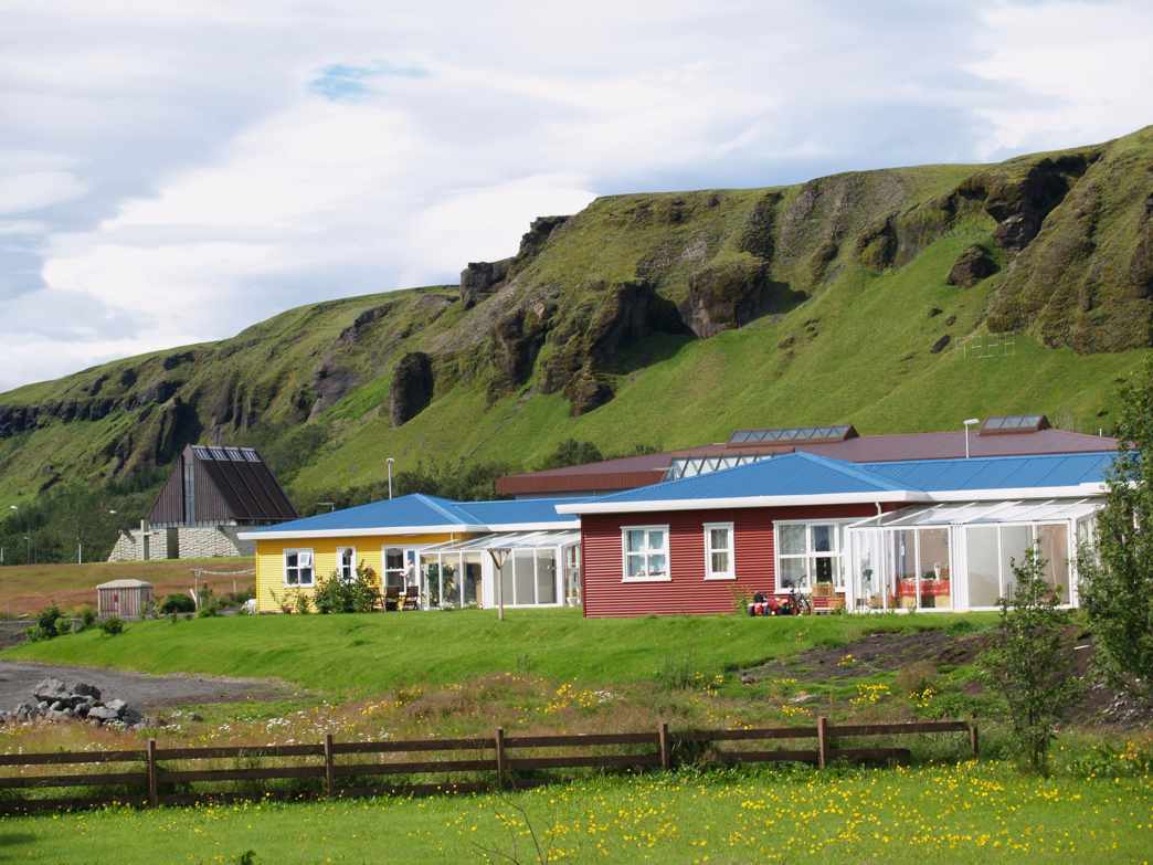
Geology and structure
Lakagígar is not a single central volcano but a chain of overlapping explosion and collapse craters formed along a fissure. The eruption produced extensive lava flows, mainly basaltic in composition, typical of Iceland's rift-zone volcanism. The 1783–84 activity was fed by the Laki fissure and is linked to the subglacial volcanic system of Grímsvötn and neighboring centers; modern geological literature and monitoring agencies discuss the relationship between these systems at regional volcanic studies.
1783–84 eruption: timeline and products
The Lakagígar (Laki) fissure eruption began in June 1783 and continued intermittently for several months into early 1784. It produced prodigious volumes of lava and gases: estimates commonly cited include about 14 km3 of basaltic lava and very large emissions of sulfur dioxide and fluoride-bearing gases. Contemporary observers and later researchers documented a persistent haze and corrosive gases drifting away from the eruption. For technical summaries and primary-source compilations see scientific reports and historical overviews at eruption archives.
Impacts on Iceland and beyond
The eruption had immediate and severe consequences for Iceland. Lava flows and associated lava fields destroyed farms and at least twenty settlements, while airborne hydrofluoric acid and other volcanic compounds contaminated pasture and water. Livestock losses were catastrophic—more than half of Iceland's sheep and cattle died in some accounts—and crop failures precipitated a famine that is estimated to have killed roughly a quarter of the island's inhabitants. The event is discussed in detail in contemporary chronicles and later demographic studies; additional context is available at historical resources and famine studies archives.
Significance and later study
Lakagígar remains an important case study for understanding large fissure eruptions, volcanic gas hazards, and climate forcing by volcanic aerosols. The 1783–84 emissions affected air quality and weather patterns across Europe and contributed to noticeable atmospheric phenomena reported at the time. Since the eruption, Lakagígar has been the subject of geological mapping, tephra stratigraphy, and atmospheric chemistry research; it is also a cautionary example used in hazard planning for Icelandic communities and aviation.
- Characteristics: linear fissure, basaltic lava, extensive gas release.
- Historical impact: local lava destruction, widespread livestock mortality, famine-related deaths.
- Scientific value: insight into fissure eruptions, long-range gas dispersal, and volcanic-climate interactions.
Visitors interested in the site should consult up-to-date guides and scientific advisories before travel; the area is geologically active and parts of the highlands remain remote. For curated educational materials and travel safety information, follow the institutional links provided above.
Questions and answers
Q: What is Lakagígar?
A: Lakagígar is a row of spectacular craters along twenty-five kilometres in the southern Icelandic Highlands.
Q: How did Lakagígar form?
A: Lakagígar was formed in the eruptions at Lakí in 1784.
Q: How long did the Lakagígar system erupt for?
A: The Lakagígar system erupted violently over eight months between June 1783 and February 1784.
Q: Where did the lava come from that formed Lakagígar?
A: The lava came from the Laki fissure and the adjoining volcano Grímsvötn.
Q: What were the consequences of the eruption at Lakagígar?
A: The eruption at Lakagígar poured out an estimated 42 billion tons or 14 km3 (3.4 cu mi) of basalt lava and clouds of poisonous hydrofluoric acid and sulfur dioxide compounds. That contaminated the soil, leading to the death of over 50% of Iceland's livestock population, and the destruction of almost all crops. This led to a famine which killed about 25% of the island's human population. The lava flows also destroyed 20 villages.
Q: How many livestock were killed due to the eruption at Lakagígar?
A: Over 50% of Iceland's livestock population was killed due to the eruption at Lakagígar.
Q: How many villages were destroyed by the lava flows from Lakagígar?
A: The lava flows from Lakagígar destroyed 20 villages.
Related articles
Author
AlegsaOnline.com Lakagígar (Laki): the 1783–84 fissure crater system in Iceland Leandro Alegsa
URL: https://en.alegsaonline.com/art/55452