Gers (river) — a tributary of the Garonne in southwestern France
The Gers is a river in southwestern France that rises in the Pyrenees foothills and flows generally north to join the Garonne, giving its name to the Gers department and shaping local landscapes and communities.
Overview
The Gers is a modest river in France that rises in the foothills of the Pyrenees and runs generally from south to north. It flows through the departments of Hautes-Pyrénées, Gers and Lot-et-Garonne, which are administrative departments within the larger Occitanie and Nouvelle-Aquitaine regions. The river is a left-hand tributary of the Garonne, joining that larger river as part of its lower catchment.
Image gallery
5 Images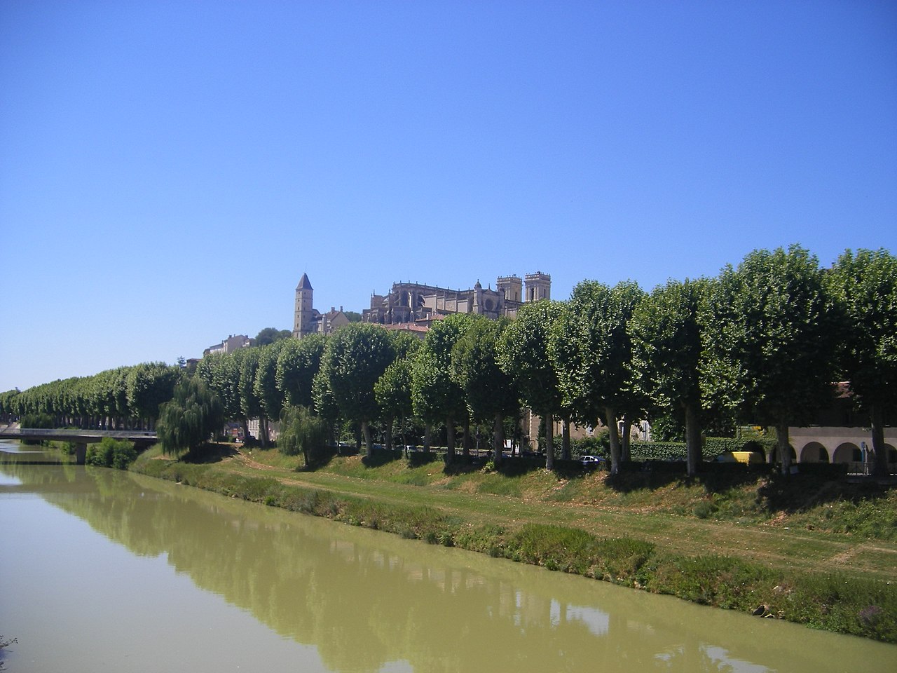


Course and characteristics
The Gers begins in upland terrain and passes through rural plains and valleys as it descends. Its channel is relatively small compared with major French rivers, and its flow varies seasonally with wet winters and drier summers. Floodplains and meanders occur where the valley widens, and riparian woodlands and marshy strips are typical along its banks.
History and name
The river lent its name to the surrounding administrative unit when departments were established during the French Revolution. Historically the waterway has marked local boundaries and supported settlements in the historic province of Gascony; it has long been part of the human geography that shaped agriculture and village locations in the area.
Ecology, uses and communities
The Gers supports freshwater habitats for fish, amphibians and aquatic plants, and its banks provide corridors for wildlife. People use the river basin for agriculture, small-scale irrigation and leisure activities such as angling and low‑impact boating. Towns and villages along its course rely on the river for landscape character, local tourism and ecological services.
Notable facts and distinctions
- The river is a left tributary of the Garonne, contributing to that major network.
- It runs through departments named above, including Gers, which takes its name from the river itself.
- Its source region is part of the wider Pyrenean system (Pyrenees), while administrative links place it in both Occitanie and Nouvelle-Aquitaine.
For further general orientation about the river and its setting, see regional overviews of France and the departments it crosses: Hautes-Pyrénées, Gers and Lot-et-Garonne. Additional local information and maps are available through departmental and regional resources (departments; regions).
Questions and answers
Q: Where is the Gers river located in France?
A: The Gers river is located in the Hautes-Pyrénées, Gers and Lot-et-Garonne departments, in the Occitanie and Nouvelle-Aquitaine regions of France.
Q: What is the name of the department in France that is named after the Gers river?
A: The Gers department is named after the Gers river.
Q: What is the source of the Gers river?
A: The source of the Gers river is in the Pyrenees.
Q: Is the Gers river a left or right tributary of the Garonne river?
A: The Gers river is a left tributary of the Garonne river.
Q: In which direction does the Gers river generally flow?
A: The Gers river generally flows from south to north.
Q: Which regions of France does the Gers river flow through?
A: The Gers river flows through the Occitanie and Nouvelle-Aquitaine regions of France.
Q: What is the Gers river?
A: The Gers river is a river in France that flows through multiple departments and regions, is a left tributary of the Garonne river, and generally flows from south to north.
Related articles
Author
AlegsaOnline.com Gers (river) — a tributary of the Garonne in southwestern France Leandro Alegsa
URL: https://en.alegsaonline.com/art/38526
Sources
- services.sandre.eaufrance.fr : "Le Gers (O6--0250)"
- geoportail.gouv.fr : "Source du Gers"
- geoportail.gouv.fr : "Confluence du Gers"
- services.sandre.eaufrance.fr : "La Gèze (O6210530)"
- services.sandre.eaufrance.fr : "Le Cédon (O6230620)"
- services.sandre.eaufrance.fr : "Le Sousson (O62-0400)"
- services.sandre.eaufrance.fr : "Le Talouch (O6310520)"
- services.sandre.eaufrance.fr : "L'Ousse (O6330530)"
- services.sandre.eaufrance.fr : "Ruisseau de Lauze (O6340500)"
- services.sandre.eaufrance.fr : "L'Auchie (O6350600)"
- services.sandre.eaufrance.fr : "Le Cier (O6200610)"
- services.sandre.eaufrance.fr : "L'Arçon (O6300590)"
- services.sandre.eaufrance.fr : "L'Aulouste (O6320500)"