
English Channel: geography, history and modern uses
The English Channel (La Manche) separates Great Britain from continental Europe. This article covers its geography, formation, transport links including the Channel Tunnel, historical importance, and recreational crossings.
Overview
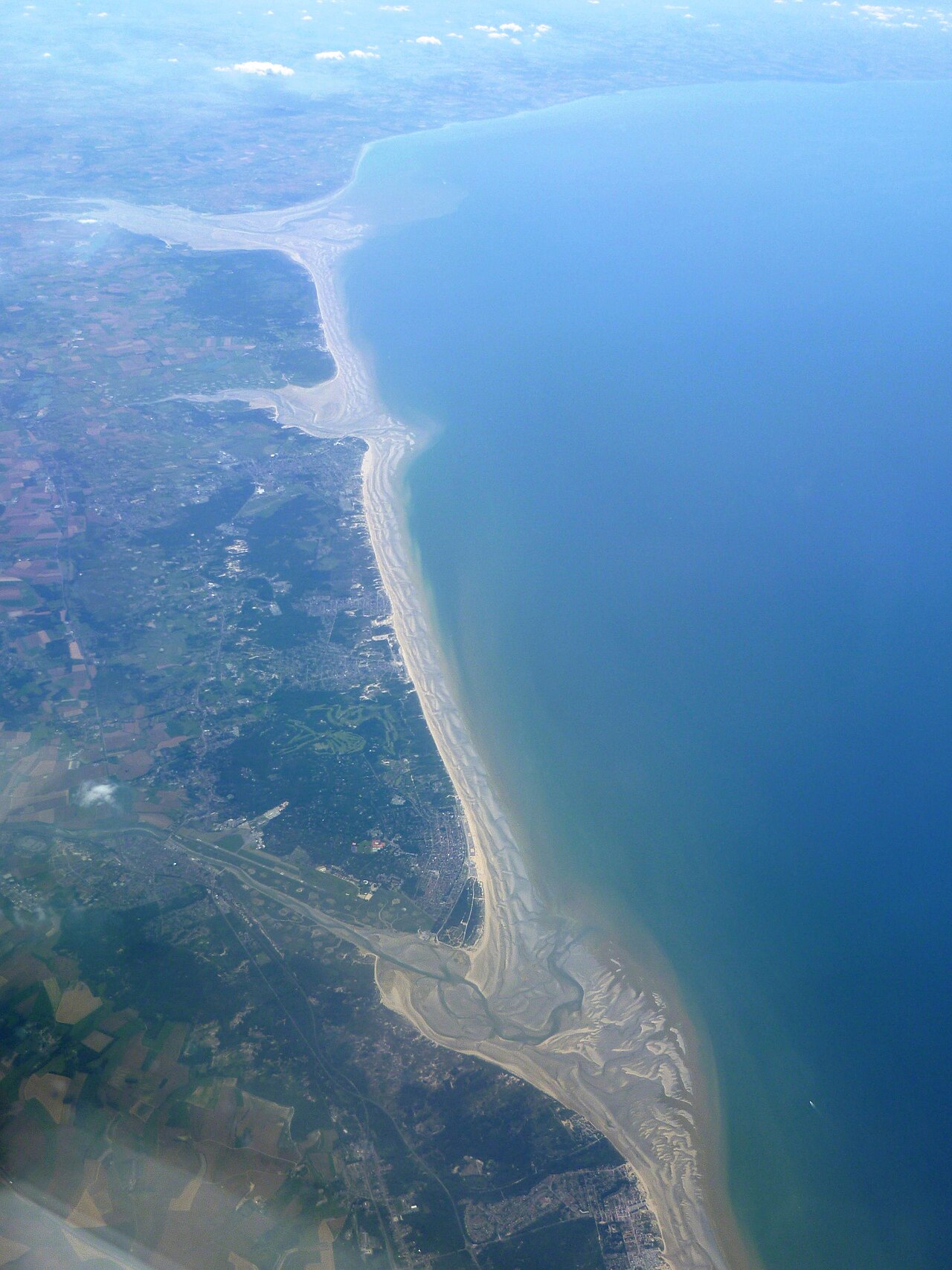
The English Channel is the stretch of sea that lies between the island of Great Britain and mainland Europe. Known in French as La Manche ("the sleeve"), it forms a natural boundary for the United Kingdom while also connecting north‑western Europe to the Atlantic. Major ports on both sides have linked communities for centuries; on a clear day the white Cliffs of Dover are visible from Calais.
Image gallery
10 Images






Geography and formation
The Channel is relatively shallow compared with the open ocean and varies considerably in width and depth: its length is a few hundred kilometres and its widest and narrowest points differ markedly. The narrowest crossing between England and France is the Strait of Dover, where the distance is only a few dozen kilometres. Scientists agree the sea and its coastline were shaped during the last ice ages and the subsequent rise in sea level; a land connection between Britain and the continent existed in prehistory and was eventually inundated.
Transport, ports and economic role
The Channel is one of the busiest seaways in the world, carrying commercial shipping, fishing vessels and passenger ferries. Regular ferry services carry people and vehicles across the water; many journeys use conventional ferry operators (ferry) while freight and passenger rail traffic travels beneath the sea through the man‑made link known as the Channel Tunnel. The tunnel—often called the Chunnel—allows trains to run under the seabed (train under the channel) and has transformed cross‑channel travel since it opened, complementing traditional ports and airports.
History and strategic importance
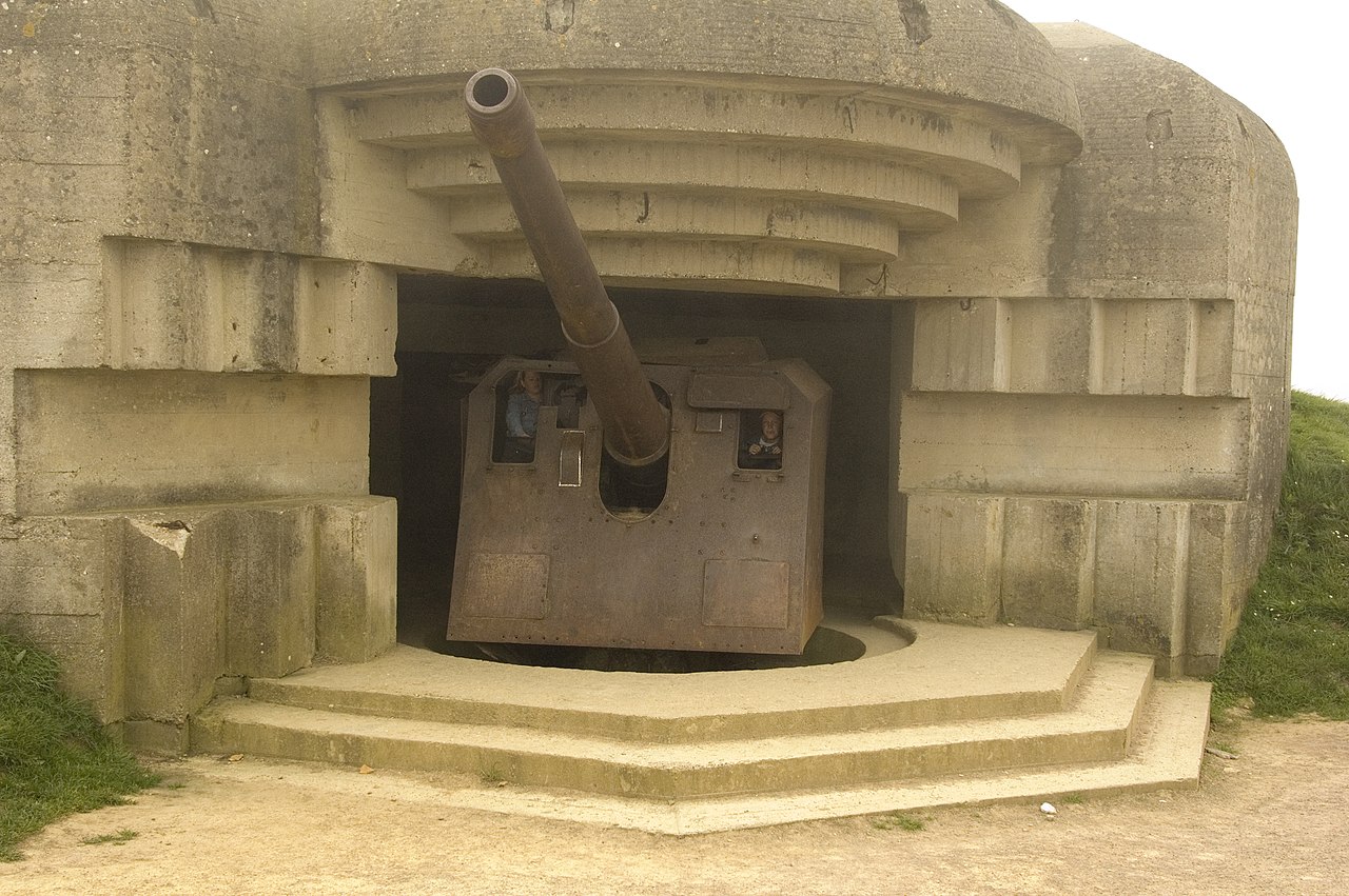
Throughout history the Channel has been strategically important. It has served as a maritime frontier and a route for trade and invasion, from medieval conflicts to modern world wars. Control of its approaches has been central to national defense and to the movement of troops and supplies. Coastal towns developed around fishing, shipbuilding and trade, and the Channel has long featured in literature, maps and national identity on both sides.
Recreation, swimming and notable crossings
Swimming the Channel has been a hallmark challenge for long‑distance swimmers. In 1875 Matthew Webb made the first recorded unassisted swim across, and in the 1920s Gertrude Ederle became the first woman to succeed. Hundreds of swimmers have since completed crossings under pilot supervision; times vary widely with tides and conditions, and exceptional performances have recorded crossings in the order of seven hours. Because the waterway is heavily trafficked and conditions can be hazardous, authorities now regulate and sometimes restrict swim attempts for safety.
Key facts and distinctions
- Names: English Channel (English), La Manche (French).
- Connections: Regular ferry services and the Channel Tunnel link the two shores; freight and passenger trains run under the channel.
- Notable places: ports, the Cliffs of Dover, and the crossing near Calais across the Strait of Dover.
- Transport modes: ferry, road, rail and shipping lanes.
For travelers and historians alike, the English Channel remains both a natural barrier and a corridor of connection linking islands and mainland Europe.
Related articles
Author
AlegsaOnline.com English Channel: geography, history and modern uses Leandro Alegsa
URL: https://en.alegsaonline.com/art/31466