Chūgoku region (San'in–San'yō) of Japan
A summary of Japan's Chūgoku region: geography, subregions San'in and San'yō, prefectures, history, culture, economy and transport links, with notes on demographics and notable sites.
Overview
The Chūgoku region (中国地方, Chūgoku-chihō), sometimes called the San'in–San'yō region, is one of the traditional geographical areas of Japan. It is one of eight broad regions commonly used for cultural, statistical and descriptive purposes rather than as a single administrative unit. The term serves as a convenient reference in discussions of regional geography, history and economy.
Image gallery
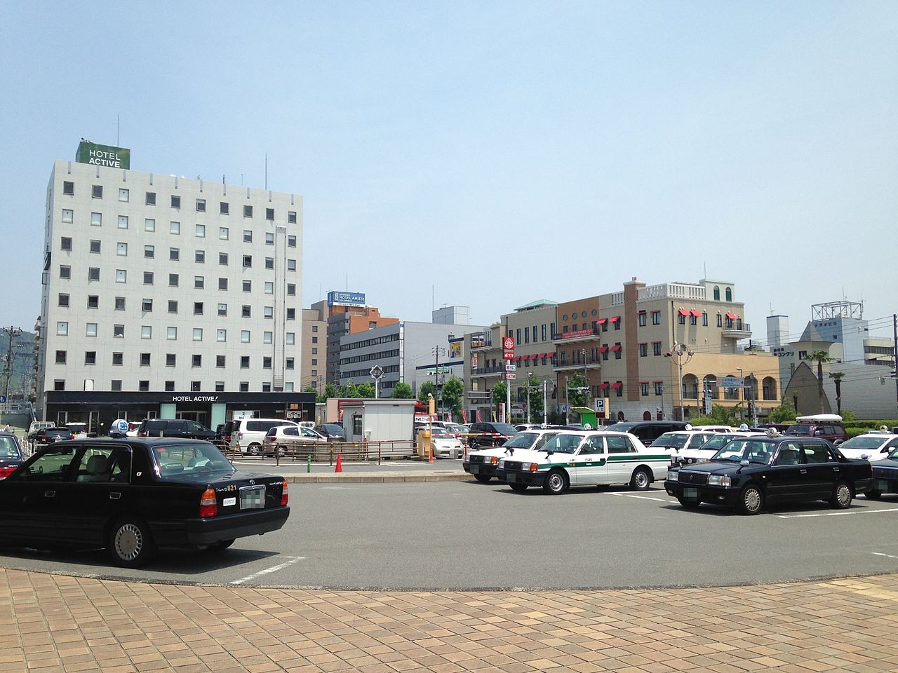
10 Images


Geography and subregions
Physically the region occupies the western end of Japan's main island, Honshū. It is divided by a central mountain range into two contrasting belts: San'yō (山陽), the southern "sunny" side that borders the Seto Inland Sea; and San'in (山陰), the northern "shady" side facing the Sea of Japan. This topography produces different climates, settlement patterns and transport corridors on each side.
Prefectures
The modern Chūgoku region comprises five prefectures. These are commonly listed as:
- Okayama
- Hiroshima
- Yamaguchi
- Tottori
- Shimane
History and naming
Historically the area was made up of several feudal provinces and has long featured in the political and cultural life of western Honshū. The name Chūgoku literally means "middle country," and in modern usage it denotes this Japanese region; it should not be confused with the separate Chinese name for the country of China. The San'in and San'yō labels reflect a traditional mountain-based orientation used throughout Japanese geography.
Economy, transport and demographics
Economic activity varies across the region. The San'yō corridor has been a focus for urbanization, heavy industry, shipbuilding and manufacturing—Hiroshima, for example, is an industrial and transport hub—while San'in remains more rural with agriculture, fisheries and tourism playing larger roles. The Sanyō Shinkansen and national highways run along the southern coast, providing efficient links to other regions, whereas the northern San'in side has less intensive rail service and slower population growth. Like many rural parts of Japan, parts of Chūgoku face aging populations and gradual depopulation.
Culture, sites and significance
Chūgoku contains important cultural and natural sites that attract visitors and preserve historical traditions. Celebrated examples include grand shrine complexes, well-preserved castle towns and distinctive landscapes such as coastal inlets and the Tottori Sand Dunes. Local festivals, crafts and cuisine reflect both inland mountain life and coastal maritime influence. The region's identity links geography, history and administrative usage, and it is commonly referenced in discussions of regional divisions, physical geography and administrative practice.
Notable places and attractions
- Itsukushima (Miyajima) and its floating shrine (Hiroshima area)
- Matsue and Izumo areas with ancient shrines (Shimane)
- Tottori Sand Dunes and coastal scenery (Tottori)
- Historic castle towns and industrial centers along the San'yō coast (Okayama, Hiroshima, Yamaguchi)
Related articles
Author
AlegsaOnline.com Chūgoku region (San'in–San'yō) of Japan Leandro Alegsa
URL: https://en.alegsaonline.com/art/20276
Sources
- books.google.com : "Geography"
- books.google.com : "Chūgoku"
- lcweb2.loc.gov : Library of Congress Country Studies, Japan
- lcweb2.loc.gov : "Geographic Regions"
- books.google.com : A traveller's history of Japan, p. 264
- docs.google.com : "Regions of Japan"
- books.google.com : Kingdom of Beauty: Mingei and the Politics of Folk Art in Imperial Japan, pp. 218-219
- books.google.com : Planning For Cities And Regions In Japan, p. 193
- books.google.com : "Fig. 2-7. "Regional Vitalization and Construction Administration,"
- books.google.com : "Goki-shichidō"
- lcweb2.loc.gov : "Chugoku"
- books.google.com : Local Government in Japan, p. 62
- books.google.com : Annales des empereurs du japon, p. 65 n3
- books.google.com : "San'in"
- web-japan.org : "Regions of Japan"