
Trough (geology): definition, formation, types, and significance
A geological trough is a linear depression formed by tectonic or erosional processes. This article explains its characteristics, formation mechanisms, types (including oceanic troughs and rifts), and scientific importance.
Overview
A trough in geology is a long, narrow depression in the Earth's crust that extends predominantly in one direction. It is generally less steep and shallower than a trench and may collect sediments or host watercourses. The term is used for features on land and beneath the sea and can describe both structural and erosional forms. For a succinct technical reference see geologic trough.
Image gallery
6 Images


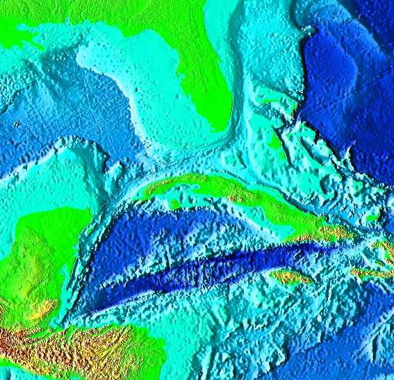

Formation and characteristics
Troughs form through a range of processes. Tectonic extension that produces faulting and subsidence can create elongated down-dropped blocks (graben-like troughs). Erosional activity—by rivers, glaciers, or longshore currents—can carve trough-shaped valleys. Typical attributes include an elongated planform, relatively gentle side slopes compared with trenches, and a tendency to accumulate sediments and organic material.
Types and examples
Troughs are a broad category and overlap with several related forms. Examples include:
- Narrow basin-style troughs that act as sediment traps on continental interiors.
- Rift-related troughs such as those associated with continental breakup or mid-ocean spreading centers, sometimes described as a geologic rift.
- Submarine troughs—elongated depressions beneath the ocean surface—often grouped among oceanic troughs and including rift valleys along mid-ocean ridges.
Distinction from similar features
Troughs differ from trenches mainly in slope steepness and origin: a trench typically marks a very steep, deep subduction zone, whereas a trough is broader and less precipitous. Troughs may also be less structurally bounded than basins that are closed or circular; their defining element is linearity.
Importance and study
Geologic troughs are significant as pathways for sediment transport, as sites of sedimentary basin development and potential resources, and as conduits that influence groundwater and ocean circulation. Scientists map troughs using bathymetry, seismic reflection, and geomorphologic surveys to understand tectonic history, sedimentation patterns, and habitat distribution. For introductory materials and further reading, consult resources on structural geology and marine geomorphology via reference and specialized surveys available at oceanographic databases.
Related articles
Author
AlegsaOnline.com Trough (geology): definition, formation, types, and significance Leandro Alegsa
URL: https://en.alegsaonline.com/art/101750