
Geological basins: formation, types, and significance for sediments and resources
Explore geological basins: their tectonic and local origins, main types (rift, foreland, intracratonic, sag), and why they concentrate sediments, groundwater and hydrocarbon resources.
Overview
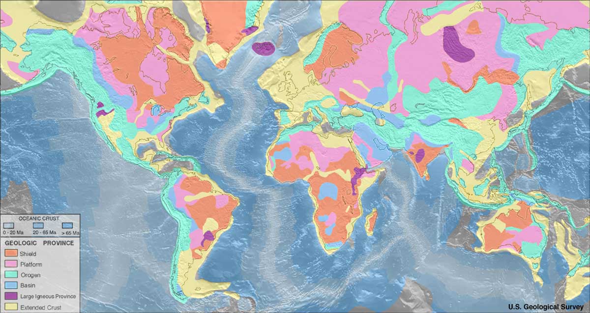
A geological basin is an extensive depression in the Earth's crust where the surface sits relatively low compared with surrounding areas. Basins may be open to the ocean or isolated inland; many are located below modern sea level and can host marine or marginal marine environments.
Image gallery
6 Images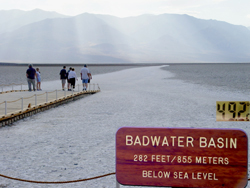



How basins form
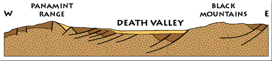
Basins develop for several reasons. Tectonic processes such as crustal stretching, flexural loading from mountain building, and thermal subsidence can create space that sinks and collects material. Local processes — for example, erosion that removes surrounding support or collapse over weakened rock — also produce depressions that function as basins. Over geological time these sinks continue to subside and accommodate increasing thicknesses of deposited material.
Sediment accumulation and geological records
Because basins act as natural traps for transported material, they are major sites of sediment accumulation. Rivers, wind, glaciers and the sea deliver particles that build layered sedimentary sequences. Inland basins share this role with lakes, which are the other common locations where sediments accumulate and are preserved. The strata preserved within basins record changes in environment and can be studied to infer the palaeoclimate of a surrounding continent and its evolution through time.
Types of basins (common categories)
- Rift and extensional basins — formed where the crust is pulled apart.
- Foreland basins — produced by flexure of the lithosphere adjacent to mountain belts.
- Intracratonic basins — long-lived, broad depressions within continental interiors.
- Sag or thermal subsidence basins — developed as the lithosphere cools and sinks.
Scientific and economic importance
The architecture and fill of basins are important to several fields. They are primary targets for oil and other hydrocarbon exploration because organic-rich, buried sediments can generate and trap hydrocarbons. Hydrologists study basins to understand aquifer systems and groundwater flow. Paleontologists and sedimentologists use basin deposits to reconstruct past ecosystems, climates and geological events.
Questions and answers
Q: What is a geological basin?
A: A geological basin is a large low-lying area that is often below sea level.
Q: What are the two most common places inland which collect sediment?
A: The two most common places inland which collect sediment are geological basins and lakes.
Q: What can the type of rocks which form in a geological basin tell us?
A: The type of rocks which form in a geological basin can tell us about the palaeoclimate of the continent.
Q: Who is interested in the geology of a geological basin?
A: The geology of a geological basin is of interest to oil prospectors, hydrologists, and palaeontologists.
Q: What benefits do oil prospectors get from studying the geology of a geological basin?
A: Oil prospectors can benefit from studying the geology of a geological basin to locate oil reserves or potential oil reserves.
Q: Which profession studies the sources and movement of groundwater in geological basins?
A: Hydrologists study the sources and movement of groundwater in geological basins.
Q: What is the significance of studying the geology of a geological basin for palaeontologists?
A: Studying the geology of a geological basin is significant for palaeontologists because they can use the preserved fossil records to understand the geological history of an area.
Related articles
Author
AlegsaOnline.com Geological basins: formation, types, and significance for sediments and resources Leandro Alegsa
URL: https://en.alegsaonline.com/art/9254
Sources
- dcr.virginia.gov : "Hydrologic Unit Geography"
- uwsp.edu : "drainage basin"