Summit (mountain top)
A summit is the highest point of a hill or mountain. This article explains what summits are, how they are measured, related terms like peak and prominence, and their cultural and scientific importance.
Overview
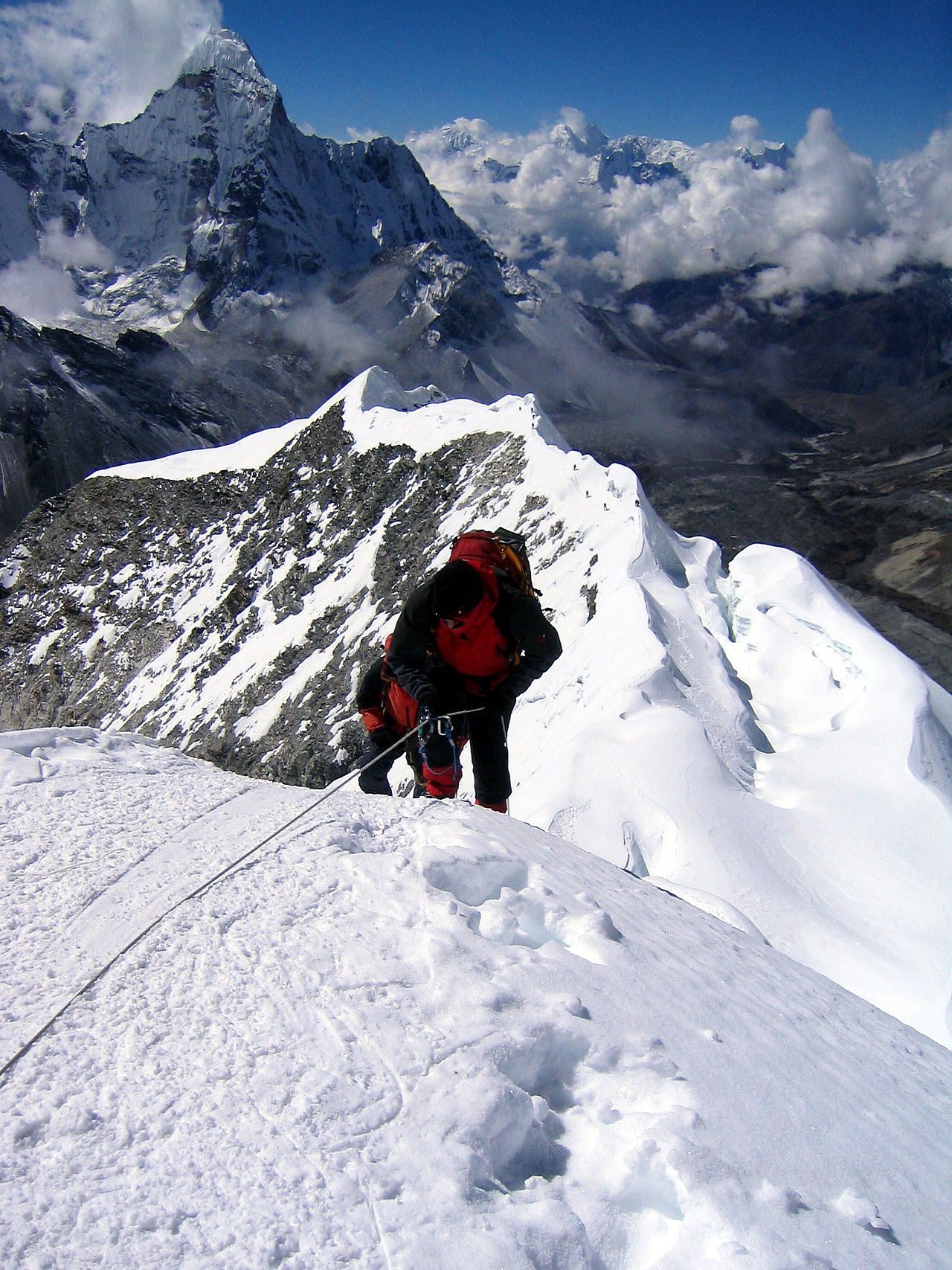
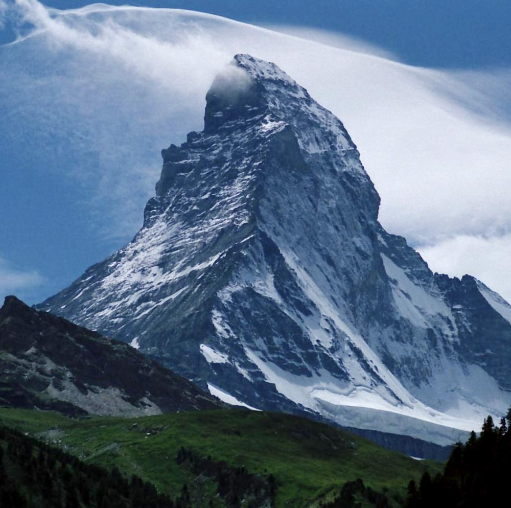
A summit is the highest point of a natural elevation such as a mountain or a hill. In common speech a summit and a peak are often used interchangeably, though a peak usually implies a pointed or prominent top. Geographers and climbers distinguish several kinds of tops: the true summit (the absolute highest point), subsidiary summits, and passes between them.
Image gallery
8 Images


Measuring summits
In geography, the height of a summit is reported by its elevation, which is the difference in height relative to mean sea level. That elevation is determined with surveying, GPS, and altimetry. Another important measure is topographic prominence—the vertical separation between a summit and the lowest contour that encircles it and no higher summit—which helps decide if a top is an independent mountain or a subsidiary peak.
Common features
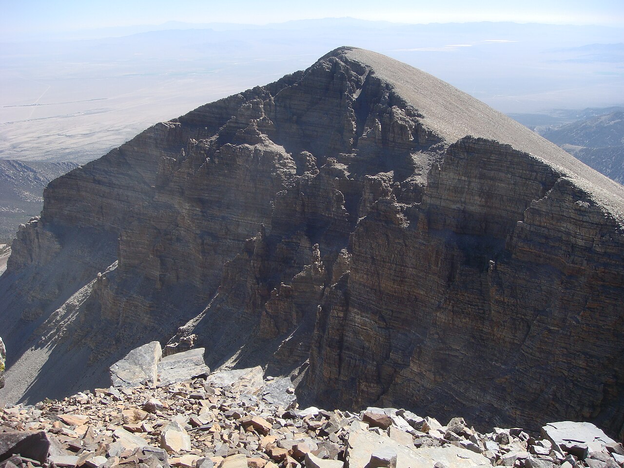
- Summit plateau: a relatively flat highest area found on some mountains.
- True summit: the exact highest point; may be a rock outcrop or small cairn.
- Subpeak: nearby high points that are lower than the true summit.
- Ridge and col: connecting high ground and the low saddle separating summits.
History, use and significance
Summits have long been goals for explorers, scientists and spiritual seekers. Mountaineering developed methods and equipment to reach and map summits, while surveyors used peaks as reference points for mapping. In many cultures the highest points carry religious or symbolic meaning and are sites for monuments, cairns or flags.
Distinctions and notable facts
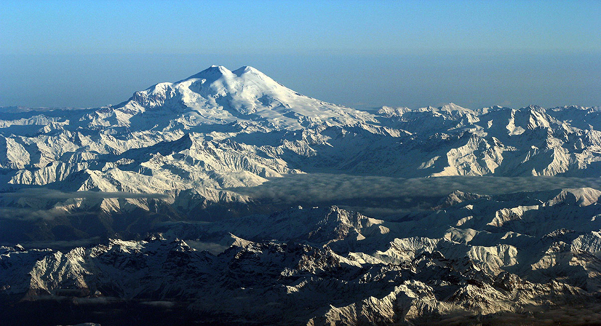
Not every summit is sharply pointed; some are broad or glaciated. The terms peak, summit, and summit ridge overlap but serve different purposes in mapping and mountaineering. The word "summit" also appears in non-geographic contexts (for example, diplomatic meetings), but when used in physical geography it specifically denotes the topmost point of an elevation.
Related articles
Author
AlegsaOnline.com Summit (mountain top) Leandro Alegsa
URL: https://en.alegsaonline.com/art/94824