Şanlıurfa (Urfa) — historic city in southeastern Turkey
Şanlıurfa is a historic provincial capital in southeastern Turkey, famed for Göbekli Tepe, the Pool of Abraham, the Harran plains, rich cuisine and a mixed urban and agricultural economy.
Overview
Şanlıurfa, often shortened to Urfa, is the administrative centre of its province in the Southeastern Anatolia Region of modern southeastern Turkey. The city's name in Turkish means "Glorious Urfa." It is an ancient urban site with a long recorded history and was reported to have had about 1.8 million inhabitants across the province around 2013; the urban population and administrative boundaries have changed over time.
Image gallery
10 Images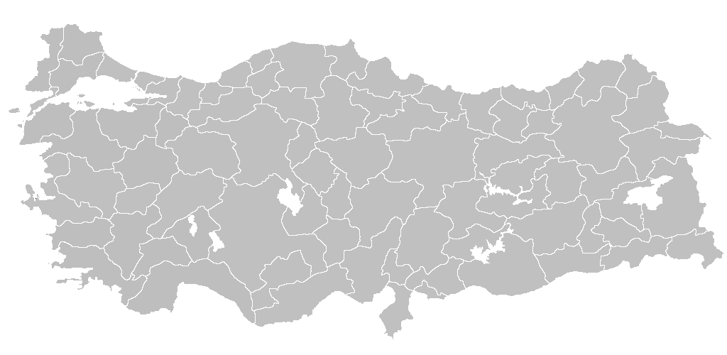


Geography and climate
Şanlıurfa lies on the Harran plain, a broad agricultural lowland historically connected to the Euphrates basin. Its setting gives it a semi-arid climate: hot, dry summers and cool, wetter winters. The surrounding plains have supported irrigation-based agriculture for centuries and more intensively since 20th-century development projects.
History and archaeology
The area around Şanlıurfa is one of the world’s most archaeologically significant regions. Nearby Neolithic sites, most notably Göbekli Tepe, have altered understandings of prehistoric ritual and settlement. Medieval and classical layers, as well as later Ottoman architecture, are visible in the city. Local tradition also links the city to Abraham (Ibrahim), and religious sites tied to that heritage remain important to visitors and residents.
Economy, agriculture and development
Traditionally an agricultural hinterland, the province produces cotton, cereals, vegetables and fruit; modern irrigation projects have expanded cultivation. Urban economic activity includes light industry, food processing and services. Tourism related to archaeology and religious pilgrimage contributes to the local economy.
Culture, cuisine and notable sites
Şanlıurfa is known for a distinctive regional cuisine (including Urfa kebab and the red pepper variety isot), lively bazaars and religious and historic monuments. Notable places of interest include:
- Göbekli Tepe — major Neolithic ritual complex
- Harran — ancient settlement and beehive houses
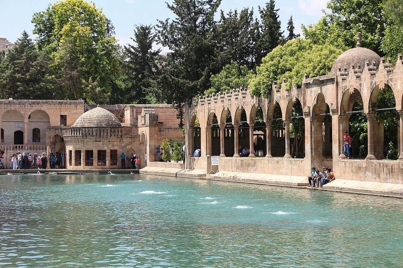
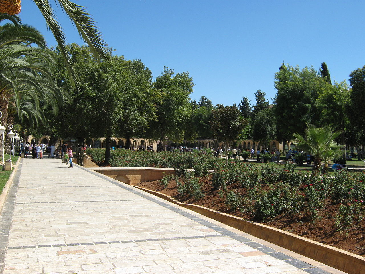
- Balıklıgöl (Pool of Abraham) — a sacred pool and shrine complex
- Old citadel area, mosques and traditional markets
These sites draw both scholarly attention and cultural tourism, making Şanlıurfa a focal point for those interested in Near Eastern history, archaeology and living traditions.
Geography
Şanlıurfa is located in southeastern Turkey and is the capital of the province of the same name. Geographically and historically, the city belongs to Northern Mesopotamia. It has had significant population growth in the years since the beginning of the 21st century.
Urfa is located about 80 km from the Euphrates and about 40 km from the Turkish-Syrian border in the northwest of a fertile plain enclosed by mountains to the west, north and east. To the southeast lies the plain of Harran. Three streams flow through the city, Karakoyun, Dschalzak and Siren, whereby the course of the Karakoyun must have been rerouted as early as Roman times, as can be seen from the city maps of Carsten Niebuhr from 1766 and Helmuth von Moltke from 1838. The bazaar of Urfa, which is worth seeing, is considered the largest in the Near East after that of Aleppo.
Urfa lies at the crossroads of ancient trade routes. An east-west connection ran from Persia and Nisibis to an Euphrates ford at Samsat and the Mediterranean coast, a north-south connection went from the Anatolian highlands and Diyarbakır to Harran and Syria. The city has its own airport, served by Turkish Airlines and others, connecting Urfa with Ankara and Istanbul. The nearest interregional airport is Diyarbakır Airport, located about 180 kilometers to the northeast.
Population
Urban development
The following table provides information on the development of the population figures of the city (Şehir), district (İlçe) and province (İl) of Bingöl. The figures were taken from the results of the censuses of the indicated years published as PDF files, available via the library of the TURKSTAT (TÜİK).
| Year | 2000 | 1990 | 1985 | 1980 | 1975 | 1970 | 1965 | 1960 | 1955 | 1950 | 1945 | 1940 | 1935 | 1927 |
| City | 385.588 | 276.528 | 194.969 | 147.488 | 132.934 | 52.830 | 73.498 | 59.863 | 48.296 | 38.685 | 36.356 | 35.266 | 31.721 | 29.918 |
| County | 534.706 | 372.020 | 272.527 | 206.508 | 191.700 | 161.780 | 134.785 | 117.851 | 100.721 | 85.820 | 79.264 | 73.733 | 67.362 | 59.180 |
| Province | 01.443.422 | 01.001.455 | 00795.034 | 00602.736 | 00597.277 | 00538.131 | 00450.798 | 00401.910 | 00348.199 | 00298.394 | 00263.855 | 00245.398 | 00229.614 | 00207.487 |
Related articles
Author
AlegsaOnline.com Şanlıurfa (Urfa) — historic city in southeastern Turkey Leandro Alegsa
URL: https://en.alegsaonline.com/art/87067