Peak District
An upland area in central England forming the first UK national park (1951). Known for gritstone edges, limestone dales, moorland and close ties to nearby cities and outdoor recreation.
The Peak District occupies a broad upland area in central and northern England. It sits at the southern edge of the Pennines and straddles several counties, with most of its area in northern Derbyshire. The landscape and administrative footprint are closely connected with the history of British conservation: the Peak District National Park was designated in 1951, the first national park in the United Kingdom. Its accessibility from major towns and its mix of open moor and sheltered dale make it an important recreational and natural area for residents of nearby conurbations. England | first national park | major conurbations
Image gallery
10 Images


Landscape and geology
The park contains uplands commonly above 300 metres, with Kinder Scout reaching the highest point at 636 metres. Despite the name "Peak," the terrain is defined more by rounded hills and dramatic escarpments than by jagged summits. Two broad geological zones create contrasting scenery: gritstone and moor to the north, and limestone valleys and plateaux to the south. Blanket bog and heather moorland are significant features on higher ground. Kinder Scout | Pennines | gritstone | limestone | moorland
Dark Peak and White Peak
The Peak District is often divided into two landscapes with distinct soils, rock types and land uses. These are commonly called the Dark Peak and the White Peak. Each area supports different habitats and human activity:
- Dark Peak: a northerly zone dominated by millstone grit and extensive moorland, with peat soils and gritstone escarpments that attract walkers and climbers. Geology | gritstone
- White Peak: a southerly limestone region of rounded hills, dry valleys and fertile soils; it contains most villages and small towns and supports farming and tourism. limestone
The park crosses administrative boundaries and includes parts of several counties and unitary areas, reflecting its broad reach. Derbyshire | Cheshire | Greater Manchester | Staffordshire | Yorkshire
Settlement, access and transport
Population is concentrated in the lower, sheltered dales and along valley floors in the White Peak. The surrounding cities and towns — including Huddersfield, Manchester, Sheffield, Derby and Stoke-on-Trent — are within a short drive, but the internal road network in the uplands is deliberately sparse. Narrow lanes and few through-roads reflect the hilly, uneven nature of the terrain; major motorways run to the east and west of the area rather than through it. Huddersfield | Manchester | Sheffield | Derby | Stoke-on-Trent | terrain
Uses, ecology and conservation
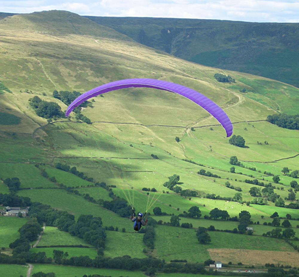
The Peak District is a popular destination for hiking, climbing, caving and cycling. Its mosaic of heathland, upland bog, grassland and woodland supports a range of species typical of British uplands and calcareous dales. Conservation management balances visitor pressure with habitat protection, farming interests and historic sites. Recreational use and community economies remain central to the park’s identity while conservation designations and local plans guide changes to land use and access. For further general information and visitor guidance see regional resources and park authorities. overview | conservation history
Questions and answers
Q: What is the Peak District?
A: The Peak District is an upland area in England at the southern end of the Pennines. It mostly lies in northern Derbyshire but also includes parts of Cheshire, Greater Manchester, Staffordshire and Yorkshire.
Q: What are the two main parts of the Peak District?
A: The two main parts of the Peak District are the northern 'Dark Peak' which has a gritstone geology and where most of the moorland is found, and the southern 'White Peak' which has mainly limestone geology and where most of the population lives.
Q: How high is Kinder Scout?
A: Kinder Scout has a high point of 2,087 feet (636 m).
Q: What type of terrain can be found in this area?
A: The terrain in this area is hilly, rough and uneven.
Q: Are there many roads that traverse through this region?
A: No, there are few roads that traverse through this region due to its hilly, rough and uneven terrain. Major motorways run east and west around it instead.
Q: When did it become a national park?
A: The Peak District National Park became the first national park in the United Kingdom in 1951.
Q: How many visitors does it attract each year?
A: The Peak District National Park attracts many visitors every year.
Related articles
Author
AlegsaOnline.com Peak District Leandro Alegsa
URL: https://en.alegsaonline.com/art/75343
Sources
- peakdistrict.gov.uk : "Peak District Local Government"
- nuttalls.com : The Mountains of England & Wales – Volume 2: England
- peakdistrict.gov.uk : "Quarrying and mineral extraction in the Peak District National Park"
- cressbrook.co.uk : "The Peak District is a very interesting area geologically"