Orange Walk Town, Belize — overview, history and economy
Orange Walk Town is a riverside municipality in northern Belize known as 'Sugar City'. This article covers its location, history, economy, demographics, transport and points of interest.
Overview
Orange Walk Town is the second largest settlement in the country and serves as the administrative centre of the Orange Walk District. Located on the left bank of the New River, it lies in northern Belize, about 53 miles north of Belize City and roughly 30 miles south of Corozal Town. The town is sometimes referred to simply as a major town of the nation and has a population in the low tens of thousands, making it a regional hub for trade and services.
Image gallery
3 Images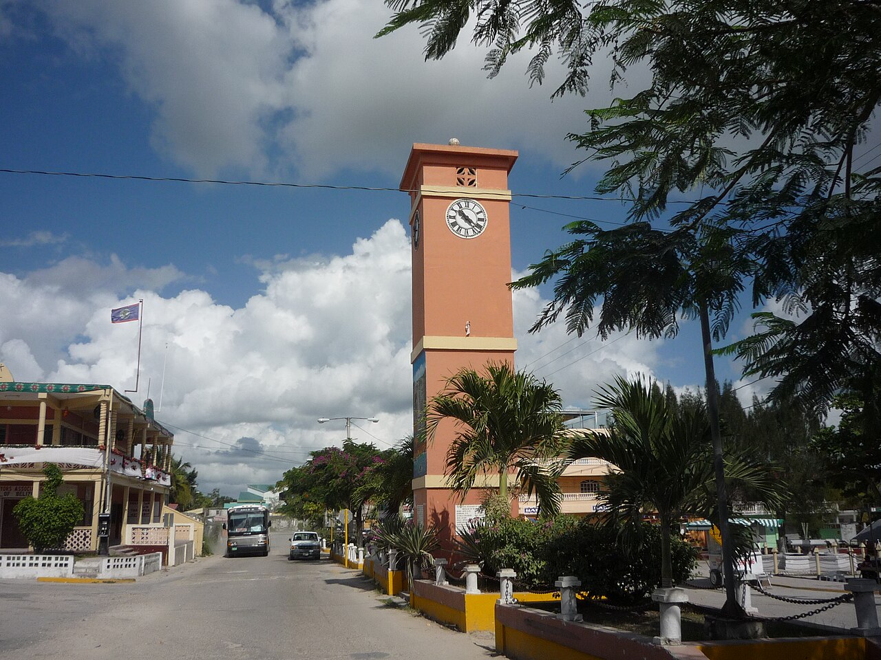


History and origins
The area around Orange Walk has a long human history. Before Spanish and British colonial influence, Maya settlements occupied the region and the locality was known by the name Holpatin in indigenous accounts. Over the centuries the town developed as an agricultural and mercantile centre; its growth accelerated during the 19th and 20th centuries with the expansion of commercial farming and sugar processing.
Economy and agriculture
Orange Walk is commonly nicknamed "Sugar City" because sugar cane cultivation and processing have been central to the local economy. The principal processing plant in the area, sometimes called the Tower Hill sugar works or Belize Sugar Industries, receives cane from surrounding farms and has historically handled a large share of the country’s sugar output. Farming of other crops, small-scale commerce, and a growing services sector complement sugar production; in recent years tourism tied to natural and archaeological attractions has added another economic strand. Local agricultural practices and marketing remain important for livelihoods across the district, with many farmers and cooperatives involved in planting and harvesting seasonally.
Demographics and culture
The town and its district are ethnically diverse. The population includes large numbers of Mestizo residents alongside Creole communities and established Mennonite groups. There are also families of Chinese origin and people from Taiwan (Taiwanese), as well as Indian heritage and migrants from other parts of Central America. This mix is reflected in cuisine, religious observance, languages spoken, and public festivals. Spanish and English are both commonly used, and traditional Mayan place names and customs continue to have cultural resonance.
Transport, environment and layout
Orange Walk’s position on the New River has influenced its layout and transport links; the river system historically provided a route for goods and people. Overland connections by road link the town with Belize City and northern communities, supporting commerce and commuting. The surrounding landscape includes agricultural fields, wetlands and patches of low tropical forest; these ecosystems support local wildlife and are part of nature tourism itineraries.
Notable facts and visitor information
Visitors to Orange Walk often explore nearby Maya archaeological sites, birdwatching areas and the New River wetlands. The town functions as a practical base for field trips and for experiencing the multicultural life of northern Belize. For administrative matters and district services, Orange Walk serves as the capital of the Orange Walk District. Travelers and researchers can find local accommodations, markets, and guided tours that introduce the region’s history, agriculture and natural attractions.
- Administrative role: Orange Walk District centre
- Nearby urban centres: Belize City, Corozal Town
- Economic anchors: sugar industry and farming
- Community diversity: links to Chinese, Taiwanese, and Indian communities and migrants from Central America
Related articles
Author
AlegsaOnline.com Orange Walk Town, Belize — overview, history and economy Leandro Alegsa
URL: https://en.alegsaonline.com/art/72957