
Arlington County, Virginia
Arlington County is a compact, densely developed county across the Potomac River from Washington, D.C., notable for federal institutions, Arlington National Cemetery, and its Civil War and urban history.
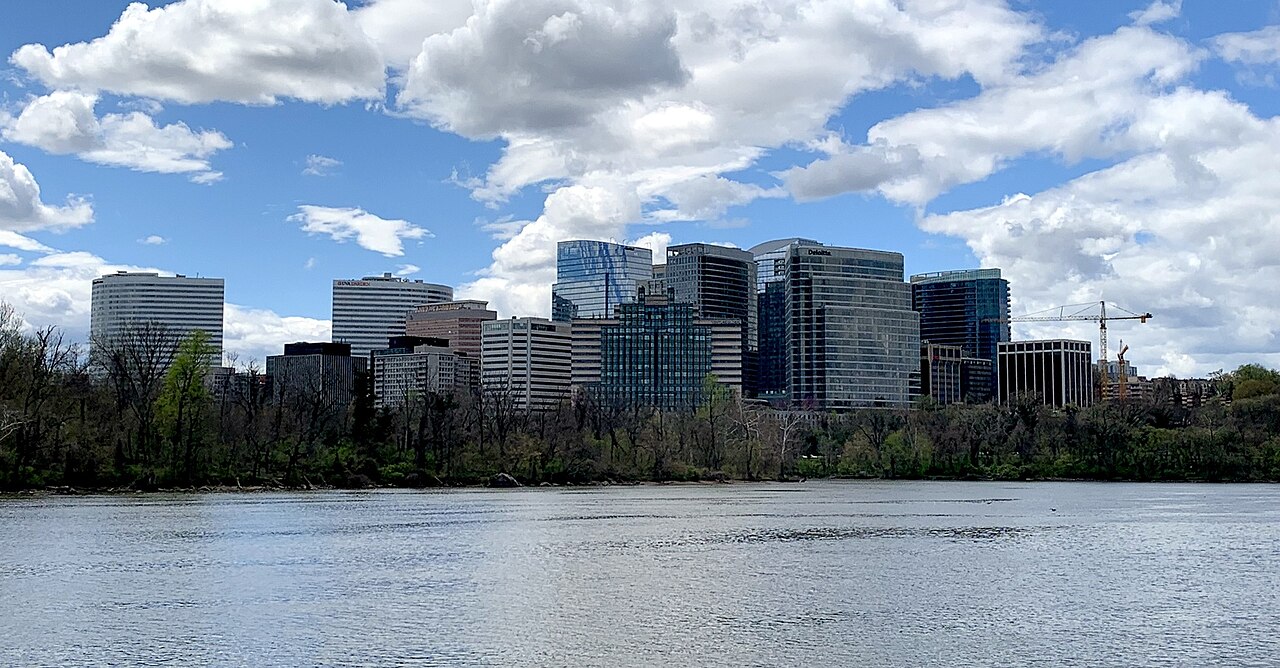
Arlington County is a small, densely populated county in Virginia, located immediately across the Potomac River from Washington, D.C.. Though organized as a county, much of its landscape is urban and suburban in character, with high-rise office buildings, residential neighborhoods, parks, and major federal facilities. The county is home to roughly 210,000 residents and functions as an integral part of the Washington metropolitan area.

Image gallery
10 Images


Overview and character
Arlington is compact by area—one of the smallest counties in the United States—yet it contains a concentration of government, defense, and transportation infrastructure uncommon for counties of its size. The built environment blends commercial corridors and dense mixed-use developments with established residential districts and green spaces. Its proximity to the national capital makes Arlington an important site for federal agencies, contractors, and diplomatic offices.
Notable places and institutions
Among the county's best-known sites are major federal and national facilities. These include the headquarters of The Pentagon, the national burial ground Arlington National Cemetery, and Ronald Reagan National Airport. The cemetery occupies land that had been part of a 19th-century plantation owned by General Robert E. Lee and contains the graves of many American service members and notable figures such as President John F. Kennedy. Together these sites draw visitors, service personnel, and official business to the county.
History and development
Arlington's modern boundaries and identity were shaped by early 19th- and 20th-century events. The land that became part of the District of Columbia was originally donated by both Virginia and Maryland when the federal district was created. In 1846, the portion south of the Potomac was returned to Virginia, a process known as retrocession, and much of that territory later formed what is now Arlington. The area saw military activity during the American Civil War and evolved over the following century into a suburban and then more urbanized county closely linked to federal growth around Washington.
Economy, transportation, and governance
Arlington's economy is heavily influenced by federal employment, defense contracting, and professional services. Extensive transit connections—regional rail, the Washington Metro, major highways, and a nearby airport—support commuter flows and commerce. The county government operates with a county manager and an elected county board; because the county has no incorporated towns, many municipal functions are handled at the county level.
Culture, parks, and distinguishing facts
Despite its urban density, Arlington preserves parks, memorials, and neighborhood greenways. It hosts a mix of cultural institutions, local museums, memorials, and annual civic events. Distinguishing features include its high degree of walkability in several commercial centers, a reputation for progressive local policy, and concentrated national landmarks that link local life to broader American history.
- Arlington National Cemetery — national memorial and burial ground
- The Pentagon — U.S. Department of Defense headquarters
- Ronald Reagan National Airport — primary commercial airport serving the capital
- Historic sites connected to Robert E. Lee and Civil War history
For more detailed information on geography, demographics, and services, consult local government resources and regional planning materials linked through official portals and archives. Relevant historical documents and travel guides can provide additional context for visitors and researchers alike.
Related articles
Author
AlegsaOnline.com Arlington County, Virginia Leandro Alegsa
URL: https://en.alegsaonline.com/art/5624