Lake Inari (Inarijärvi) — large lake of Finnish Lapland
Lake Inari is a 1,084 km² freshwater lake in Finnish Lapland, north of the Arctic Circle. It has a maximum depth of about 95 m, more than 3,000 islands, important fisheries and strong Sámi cultural links.
Overview
Lake Inari (known in Finnish as Inarijärvi or simply Inari) lies in the municipality of Inari in northern Finland. Covering approximately 1,084 square kilometres, it is one of the country's largest lakes and is commonly listed as the third largest by surface area. Despite its high latitude, the lake supports seasonal recreation and local livelihoods.
Image gallery
4 Images


Geography and islands
The lake occupies a broad, irregular basin in Finnish Lapland and contains a very large number of islands — more than 3,000 in total. The largest islands include Kaamassaari, Mahlatti, Viimassaari and Roiro, which help break the open water into sheltered bays and channels. The complicated shoreline creates many peninsulas, inlets and archipelagos that are popular for boating and exploration.
Formation, hydrology and climate
Like many lakes in northern Fennoscandia, Inari was shaped by glacial erosion and deposition during the last Ice Age. Its deepest point reaches about 95 metres. Water from the lake drains northward via rivers toward the Arctic Ocean; the lake is linked to the broader northern watershed and regional river networks (hydrology references). Located north of the Arctic Circle, Lake Inari experiences long summer days and winter ice cover, yet summer waters can be relatively mild compared with marine conditions at similar latitudes.
Ecology, uses and human presence
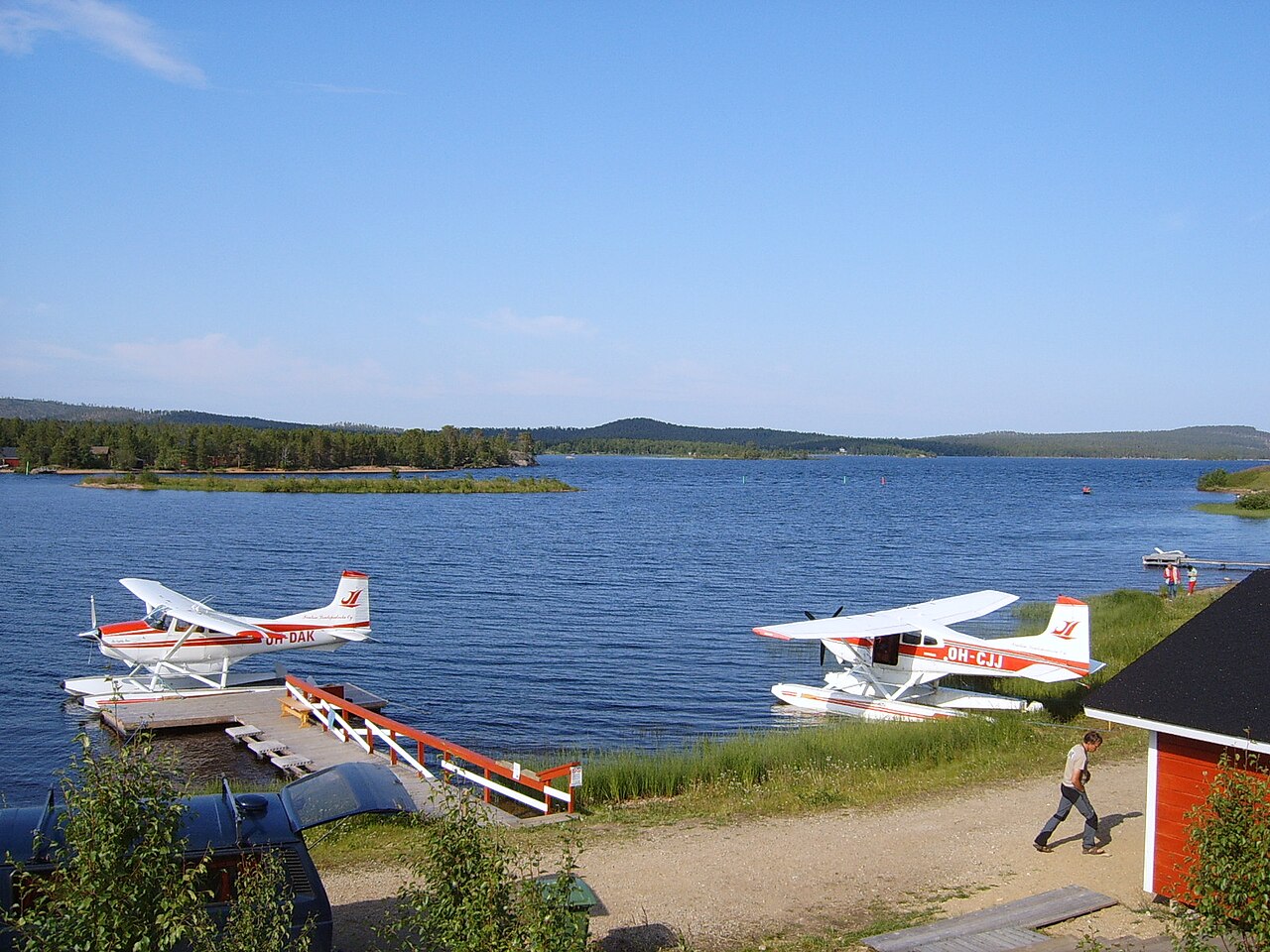
The lake supports a range of freshwater habitats and fish species that are important for local fishing and subsistence. It has been central to the lives of the Sámi and other communities in the region, who use the shoreline and islands for seasonal fishing, transport and cultural activities. Tourism, boating, angling and nature observation are common uses today, and visitors come for midnight sun experiences in summer and aurora viewing in winter. Practical information and visitor services can be found through local sites and guides (tourism resources).
History and cultural significance
Lake Inari has long been part of regional trade routes and Sámi cultural landscapes. Its islands and shores contain sites of traditional importance, and the lake remains a focus of local identity and land use. Historical and contemporary studies of the area consider both natural features and human connections to the water and islands (cultural resources).
Notable facts and conservation
- Area: about 1,084 km²; maximum depth roughly 95 m.
- More than 3,000 islands make it a complex archipelago environment.
- Situated north of the Arctic Circle, with pronounced seasonal light cycles.
- Important for fisheries, Sámi culture and northern nature tourism.
Ongoing conservation and land-use planning aim to balance local livelihoods, cultural values and tourism with the protection of freshwater habitats. For more detailed maps, ecological surveys and visitor guidance consult regional authorities and specialist publications.
See also
- List of the largest lakes in Finland
Related articles
Author
AlegsaOnline.com Lake Inari (Inarijärvi) — large lake of Finnish Lapland Leandro Alegsa
URL: https://en.alegsaonline.com/art/55509