Katabatic wind
Katabatic winds are gravity-driven downslope flows of dense air. This entry explains their formation, physical mechanisms, common regional examples, impacts on weather and ecosystems, and how they are observed and forecast.
Overview
A katabatic wind is a downslope flow of relatively dense air driven primarily by gravity. It develops where air near a surface becomes colder and heavier than the surrounding atmosphere and then descends along slopes, valleys or ice-sheet margins. These winds occur in a variety of settings from polar ice sheets to mid-latitude plateaus and mountain valleys, and they affect local climate, sea ice, vegetation and human activities.
Image gallery
4 Images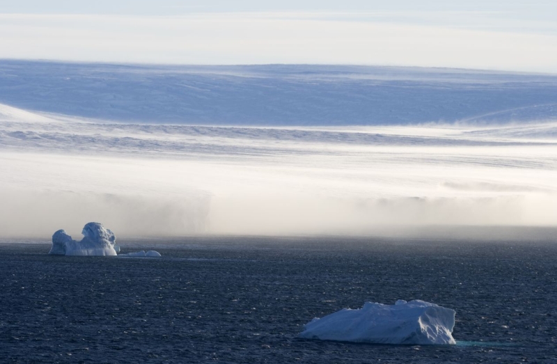


How they form
Formation requires three basic elements: a source of cold, dense air; a sloping surface or terrain drop; and a path for the air to descend. Cooling can occur by longwave radiational loss on clear nights, by contact with cold ice or snow, or by drainage of cooled air from elevated plateaus. Once the air becomes denser than its surroundings, gravity causes it to accelerate downslope. Friction, channeling between ridges and mixing with ambient air modify the wind's speed and character.
Physical mechanisms and behavior
Several processes influence katabatic flows. Adiabatic warming by compression can warm air descending from high elevations, producing warm, dry downslope winds in some mountain regions. In polar regions, however, the source air remains very cold and the flow can stay chilling and turbulent. Stability of the atmosphere, the steepness and length of the slope, surface roughness, and the presence of valleys or coastal channels control how strong and persistent a katabatic wind becomes.
Named examples and geographic occurrences
- The warm, dry downslope phenomenon known as the föhn affects the northern slopes of the Alps; more generally, related winds are called föhn-type or downslope winds in many mountainous regions.
- The Chinook descends the eastern slopes of the Rocky Mountains and is often experienced as a sudden warm wind on the plains.
- Cold, dense flows are prominent off polar ice sheets such as in Antarctica and Greenland, where interior air drains toward the coast.
- Regional local names highlight variety: the cold Adriatic gust known as the bora comes from mountain and plateau drainage near the Adriatic, while the strong valley-to-sea wind called the mistral is characteristic of southern France.
Typical characteristics
Katabatic winds vary from gentle night-time drainage breezes to powerful, gusty outflows. Temperature behavior depends on origin: air descending from ice and snow remains cold, whereas air descending from high plateaus may warm by compression. Speeds and duration depend on the strength of the temperature contrast, slope geometry and channeling effects; some events last only hours, others persist for days.
Impacts and practical importance
These winds influence local temperature, humidity, cloud formation and sea-ice distribution. Warm, dry downslope winds can accelerate snowmelt and raise wildfire risk; cold katabatic outflows can create hazardous conditions for shipping and aviation and shape coastal ecosystems. Communities and infrastructure in exposed valleys, coasts and mountain passes often account for katabatic winds in design and emergency planning.
Observation, forecasting and further reading
Meteorological stations, remote sensing and high-resolution models are used to observe and forecast katabatic flows. Forecasting focuses on surface cooling, pressure patterns and terrain effects that signal potential drainage events. For accessible background and regional details consult local meteorological services and educational resources such as general overviews for Europe or national analyses in the countries where these winds are common. For technical and historical perspectives see specialized texts and regional studies linked by national services and research centers (ice and polar meteorology).
Related articles
Author
AlegsaOnline.com Katabatic wind Leandro Alegsa
URL: https://en.alegsaonline.com/art/52468
Sources
- credoreference.com : "Katabatic flows"