Flood control: methods, history, and challenges
Overview of flood control—structural and non‑structural methods, historical development, uses and limitations, and contemporary challenges such as environmental trade‑offs and climate change adaptation.
Overview
Flood control encompasses the planning and physical measures used to protect settlements, people and property from the hazards of flooding. It covers actions at many scales, from household screening and local drainage improvements to regional river engineering and coastal defenses. The goal is to reduce risk to life and assets while balancing economic, social and environmental interests.
Image gallery
10 Images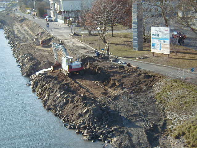


Common structural measures
Physical constructions are among the most visible flood control tools. Typical examples include:
- Dams and reservoirs, which store water and regulate downstream flows.
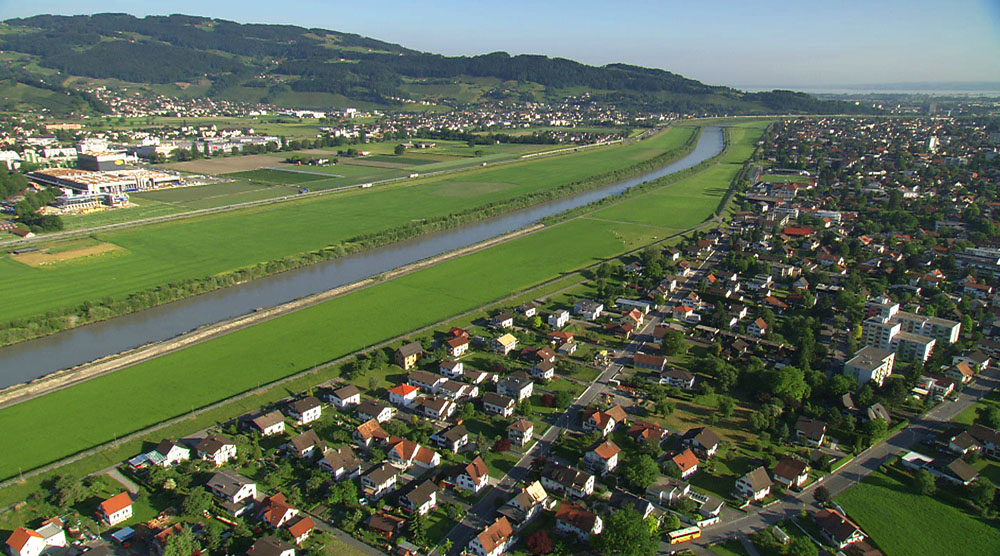
- Levees and embankments, built along rivers and coasts to keep high water out of inhabited areas.
- Weirs and diversion channels, used to alter flow patterns or reduce peak flows.
- Stormwater systems, pumps and sea walls that protect specific urban or coastal sites.
Non‑structural approaches and land use
Not all protection relies on concrete and earthworks. Zoning, hazard mapping, early warning systems, insurance schemes and emergency planning are essential components. Managed retreat or relocation away from floodplains and periodic wetland restoration also reduce exposure and can provide natural buffering.
History and development
Humans have modified rivers and coasts for millennia to reduce flood impacts; ancient dikes, canals and irrigation works are early forms of control. Over time engineering advanced to larger dams and integrated water management. In recent decades thinking has shifted toward combining hard infrastructure with ecosystem‑based solutions and risk‑informed planning.
Importance, trade‑offs and challenges
Effective flood control protects lives, supports agriculture and commerce, and underpins urban development. However, measures can have unintended consequences: levees may increase downstream risk, reservoirs alter sediment flows and habitats, and hardened coasts can harm ecosystems. Maintenance, governance, and adapting systems to a changing climate are ongoing challenges. Modern practice favors integrated flood risk management that blends structural defenses, policy, and nature‑based measures to achieve safer and more resilient communities.
See also: combinations of measures, community preparedness, and legal frameworks for land use planning that reduce vulnerability and support long‑term resilience.
Related articles
Author
AlegsaOnline.com Flood control: methods, history, and challenges Leandro Alegsa
URL: https://en.alegsaonline.com/art/35157