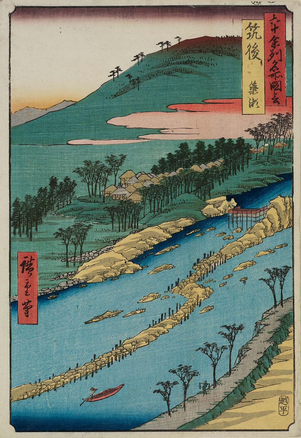
Chikugo River (Chikugo-gawa) — Kyūshū's longest river
Major river on Kyūshū, Japan. Rises near Mount Aso, flows through multiple prefectures, and empties into Ariake Bay; important for agriculture, ecology, and regional development.
The Chikugo River, known in Japanese as Chikugo-gawa and sometimes nicknamed "Chikushijirō," is the longest river on the island of Kyūshū. It begins in the highlands south of Mount Aso and follows a generally northwestward course before reaching the tidal flats of Ariake Bay. The river plays a central role in the landscapes and economies of several prefectures on Kyūshū, including Kumamoto, Ōita, Fukuoka and Saga.
Image gallery
6 Images


Course and physical characteristics
From its mountainous source the Chikugo River flows roughly 143 km to the sea. Along its course it passes through a mixture of steep upper valleys and broader alluvial plains. These lower plains are notable for intensive agriculture supported by river irrigation. The estuary area opens into Ariake Bay, where strong tides create extensive mudflats and a dynamic interface between freshwater and marine environments.
Ecology and uses
The Chikugo basin supports a variety of land uses: irrigated rice paddies, other crops, fisheries near the estuary, and urban settlements. The river’s seasonal flows and the tidal character of Ariake Bay shape local ecosystems, including wetlands and intertidal habitats that are important for migratory birds and coastal fisheries. Human uses have historically emphasized irrigation, local transportation, and fisheries, while modern needs include flood control and water management.
History, management, and infrastructure
Communities along the Chikugo have managed the river for centuries, adapting to periodic floods and changing land use. In the 20th and 21st centuries, river engineering projects—such as levees, floodways, and reservoirs—were introduced to reduce flood risk and stabilize supplies for agriculture and towns. These interventions have shaped the river’s natural regime and are central to contemporary planning and conservation debates.
Notable facts and context
- The river is the longest on Kyūshū and a major drainage artery for central-southern Kyūshū.
- Its estuary into Ariake Bay creates important tidal flats and supports coastal fisheries and aquaculture.
- It links mountainous source areas near Mount Aso with lowland agricultural plains and port areas on the bay.
For geographic reference and mapping, see the general location at 33°09′N 130°21′E. The Chikugo River is an important natural feature of Japan, combining ecological significance with long-standing roles in agriculture and regional development.
Further regional information is available from local prefectural resources and general overviews of Kyūshū river systems (Kumamoto, Ōita, Fukuoka, Saga).
Related articles
Author
AlegsaOnline.com Chikugo River (Chikugo-gawa) — Kyūshū's longest river Leandro Alegsa
URL: https://en.alegsaonline.com/art/19636