Chikuzen Province
Chikuzen Province was an historical province of Japan on northern Kyūshū, now largely within Fukuoka Prefecture; its ancient capital was near Dazaifu and it bordered Buzen, Bungo, Chikugo and Hizen.
Overview
Chikuzen Province (筑前国, Chikuzen no kuni) was an historical province of Japan on the island of Kyūshū. Under the classical ritsuryō system it functioned as a unit of civil and military administration. In later periods the provincia l name remained important for describing the region's cultural identity and local governance. Today most of the former province lies within modern Fukuoka Prefecture and it is commonly discussed in studies of regional history within Japan.
Image gallery
8 Images


Geography and borders
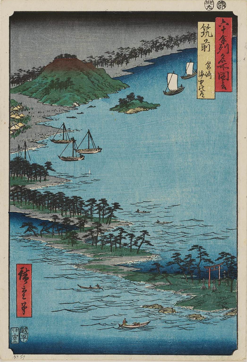
Chikuzen occupied a coastal position along the Genkai Sea with plains, river valleys and upland areas. Its coastline supported several ports and fishing communities while inland zones were used for agriculture and settlement. The province shared borders with neighboring provinces: Buzen to the east, Bungo further southeast across the interior, Chikugo to the south, and Hizen to the west; a regional overview can be seen on a map of adjacent provinces.
History and administration
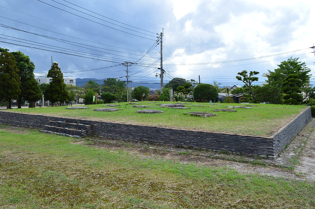
Formed under the centralized provincial system of the 7th–8th centuries, Chikuzen was administered through a provincial capital complex and related offices. The ancient provincial capital and many official functions were located near Dazaifu, which also served as a military and diplomatic center for northern Kyūshū. Across the medieval and early modern eras the area's political landscape changed as local warlords, samurai families and later feudal domains (han) exercised authority over parts of the province. With the Meiji period reforms of the late 19th century the provincial and han systems were abolished and the territory was reorganized into prefectures.
Administrative divisions and settlements
Historically the province was divided into smaller districts and manor units that organized taxation, law and local administration. Many modern cities and towns in northern Fukuoka Prefecture occupy locations that were once district centers or castle towns in Chikuzen. The layering of village, district and domain records provides important sources for regional historians tracing settlement continuity and land use.
Economy, transport and ports
Chikuzen's economy was based on agriculture—prime rice-producing plains and mixed farming—as well as coastal fishing and maritime trade. Natural harbors and overland routes linked the province to other parts of Kyūshū and the main islands. In different periods coastal defense and sea-borne commerce both contributed to the province's strategic significance.
Cultural and religious significance
The vicinity of Dazaifu gave Chikuzen a notable religious and ceremonial presence: shrines, temples and administrative sites attracted visitors and officials over many centuries. Local festivals, shrine rites and surviving archaeological remains illustrate the province's role in regional ritual life. Chikuzen's cultural footprint also appears in place names, folk traditions and museum collections that preserve artifacts from successive historical layers.
Names, legacy and further reading
The name Chikuzen is often paired with Chikugo; together the two provinces were sometimes called Chikushū. Although the old provincial boundaries ceased to be administrative units after the Meiji reforms, the term Chikuzen remains in historical writing, guidebooks and popular usage to describe the northern portion of Kyūshū now administered as part of Fukuoka Prefecture. The ancient center at Dazaifu is a focal point for visitors and scholars, and comparative studies that couple Chikuzen with Chikugo provide broader context for the region's development. For regional orientation and historical maps see a provincial map and references that discuss neighboring provinces such as Buzen, Bungo and Hizen.
Notable places
- Dazaifu — ancient administrative center and religious site.
- Former district and castle-town locations now part of modern municipal landscapes within Fukuoka Prefecture.
- Comparative references pairing Chikuzen with Chikugo as Chikushū.
Related articles
Author
AlegsaOnline.com Chikuzen Province Leandro Alegsa
URL: https://en.alegsaonline.com/art/19640
Sources
- books.google.com : "Chikuzen"
- books.google.com : "Provinces and prefectures"
- eos.kokugakuin.ac.jp : "Nationwide List of Ichinomiya," p. 3