California State Route 1 (Pacific Coast Highway)
State Route 1 is a scenic north–south highway running largely along California's Pacific coast from Dana Point to near Leggett, combining urban arterials and dramatic rural coastal roadways.
Overview
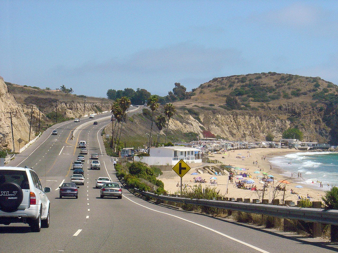
California State Route 1 (SR 1) is a long north–south state highway that traces much of the state's Pacific coastline. It connects coastal communities and tourist destinations while doubling as an important local thoroughfare. The route begins at Dana Point near California's southern Orange County shore and terminates near U.S. Highway 101 close to Leggett in Mendocino County. Along its length it alternates between freeway-grade sections in urban areas and narrow, winding two-lane roads where it negotiates cliffs and headlands.
Image gallery
4 Images


Route names, character, and concurrencies
SR 1 carries several local names depending on region, including the Pacific Coast Highway (often abbreviated PCH), the Cabrillo Highway, the Shoreline Highway, and the Coast Highway. In places it runs side-by-side with or is signed together with US 101, notably through stretches of Ventura County and Santa Barbara County, and the official state routing takes traffic across the Golden Gate Bridge into San Francisco in its northern segments. Urban portions of SR 1 function as commuter routes in the Greater Los Angeles Area and the San Francisco Bay Area, while rural stretches offer uninterrupted ocean views and access to state parks and beaches.

History and development
The highway evolved through the 20th century from unpaved coastal trails and local connectors into a continuous state route as roads were improved and bridged. Many bridges and alignments were built to replace ferry crossings or to carry the roadway across deep ravines; some iconic structures remain important engineering and photographic landmarks. Over time portions of SR 1 have been recognized for their outstanding scenic value and receive special designations that promote preservation and tourism.
Notable features and attractions
SR 1 passes through a wide range of coastal environments: sandy beaches and seaside towns in Southern California, agricultural and harbor communities, and the rugged cliffs and redwood-lined reaches of the Central and Northern California coast. The Big Sur coastline is one of the most famous stretches, with dramatic views, steep sea cliffs and celebrated structures such as Bixby Creek Bridge. Photographers and travelers often stop at overlooks and small pullouts to enjoy the scenery, and many state parks are accessible directly from the highway.

Practical information and cautions
Driving SR 1 can be rewarding but requires caution. Much of the highway is narrow and winding with limited shoulders; fog, strong coastal winds, and occasional rockslides or mudslides can cause temporary closures or detours. Maintenance and repair work are performed by state transportation agencies, and travelers are advised to check local conditions before setting out, especially on rural segments. Services and cellular coverage vary widely: urban sections provide frequent amenities, while long rural stretches have few facilities.

Importance and cultural role
Beyond transportation, SR 1 is an important cultural and recreational corridor. It supports local economies through tourism, links communities to parks and beaches, and has been a frequent backdrop in film, photography and literature focused on California's coast. Whether used for daily commuting in metropolitan zones or leisurely scenic drives through more remote reaches, SR 1 remains one of the state's most recognizable and traveled roads.

Quick reference
- Southern terminus: Dana Point
- Northern connectivity: U.S. Highway 101 and routes into Mendocino County
- Notable counties along the route: Ventura County, Santa Barbara County
- Major urban areas served: Greater Los Angeles Area, San Francisco Bay Area
- Popular local stops: coastal towns such as Laguna and many state parks
Questions and answers
Q: What is State Route 1?
A: State Route 1 (SR 1) is a major north-south state highway that runs along most of the Pacific coastline of the U.S. state of California.
Q: Where does Highway 1 begin and end?
A: Highway 1 begins at Interstate 5 (I-5) near Dana Point in Orange County and ends at U.S. Highway 101 (US 101) near Leggett in Mendocino County.
Q: Is Highway 1 also known by other names?
A: Yes, it is also known as Pacific Coast Highway (PCH), Cabrillo Highway, Shoreline Highway, or Coast Highway.
Q: What makes this highway so famous?
A: This highway is famous for running along some of the most beautiful coastlines in the USA, which has earned it the nickname "All-American Road".
Q: Does it serve any urban areas?
A: Yes, it serves as a major thoroughfare in the Greater Los Angeles Area, the San Francisco Bay Area, and several other coastal urban areas.
Q: Does US 101 run together with SR1 at times?
A:Yes, they run together through a 54-mile stretch in Ventura and Santa Barbara Counties, and across the Golden Gate Bridge.
Q:What are some notable attractions on SR1 ? A:Some notable attractions on SR1 include Laguna CA ,Ventura County ,Big Sur , Dinosaur Rock & Bixby Bridge .
Related articles
Author
AlegsaOnline.com California State Route 1 (Pacific Coast Highway) Leandro Alegsa
URL: https://en.alegsaonline.com/art/16139
Sources
- dot.ca.gov : "Special Route Restrictions"
- commons.wikimedia.org : California State Route 1