
1999 İzmit earthquake: overview, effects, and aftermath
A major North Anatolian Fault earthquake on 17 August 1999 that struck northwestern Turkey, caused widespread destruction around İzmit and Adapazarı, and prompted major changes in seismic policy and building practice.
Overview
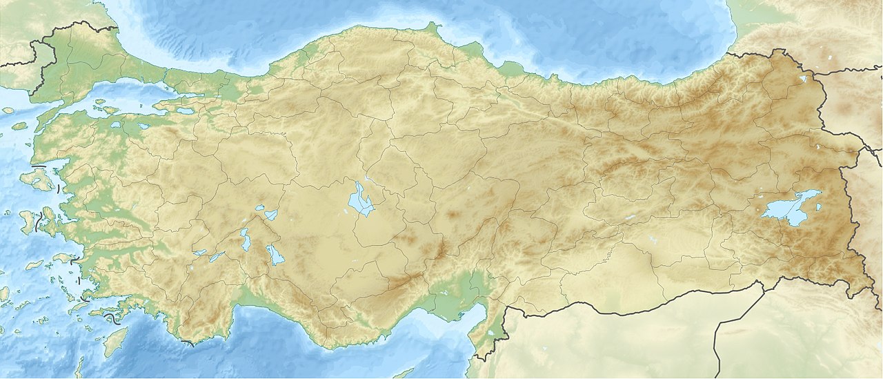
The 1999 İzmit earthquake struck northwestern Turkey in the early hours of 17 August 1999. The mainshock, commonly reported with a moment magnitude near 7.4–7.6, lasted roughly 30–40 seconds. The epicenter was near the city of İzmit, an industrial and transport hub on the eastern end of the Sea of Marmara, and the event produced a long surface rupture along the North Anatolian Fault system.
Image gallery
10 Images



Tectonic setting and characteristics
The earthquake occurred on a major right-lateral strike-slip fault that accommodates westward motion of the Anatolian Plate. The rupture propagated along dozens to more than a hundred kilometers of fault, producing strong ground shaking in a broad area that included Istanbul to the west. A significant aftershock sequence followed the main event, complicating rescue and recovery efforts.
Human and physical impact
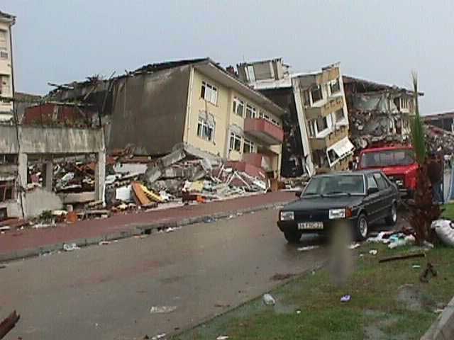
The quake caused extensive collapse of residential and commercial buildings in İzmit, Adapazarı and nearby towns. Official and widely cited reports place the death toll at more than 15,000 people; tens of thousands were injured and many hundreds of thousands were rendered homeless. Critical infrastructure—roads, bridges, ports and industrial facilities—suffered severe damage, and fires and service outages added to disruption. The short duration of shaking belied the scale of destruction caused by poor construction, soil amplification in some areas, and secondary hazards.
Response and international attention
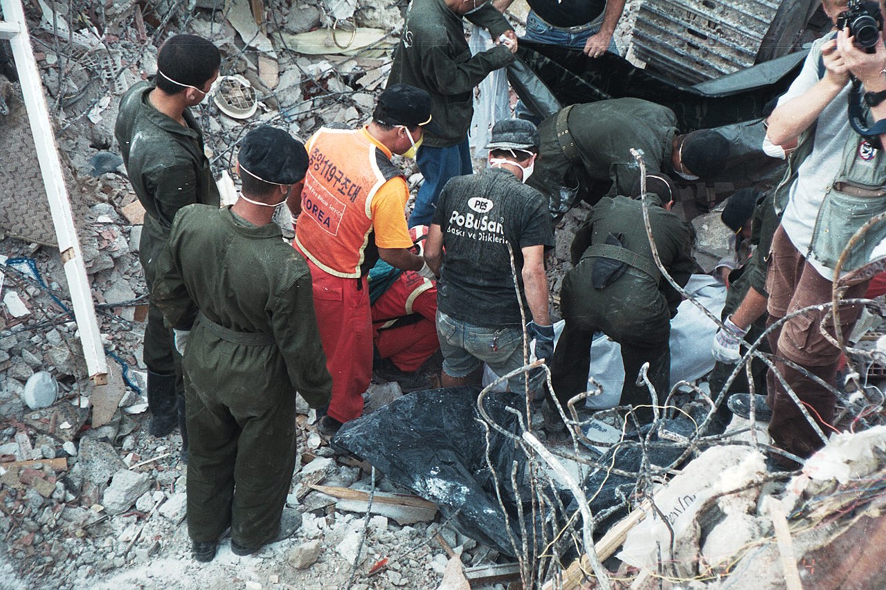
Rescue operations involved local and national authorities, the armed forces and international teams. Humanitarian aid and technical assistance arrived from many countries. The disaster also attracted high-profile visitors, including a visit by former US President Bill Clinton, who met survivors in affected towns. The scale of the catastrophe raised public concern about building standards and emergency preparedness.
Aftermath and legacy
Long-term effects included economic losses measured in the billions and a reassessment of seismic risk across the region. The earthquake exposed weaknesses in enforcement of construction regulations and prompted legal, regulatory and engineering reforms aimed at improving building safety. It also heightened awareness of the seismic hazard facing the greater Marmara region and influenced research, monitoring and preparedness efforts.
Notable facts
- The event is often cited as part of a sequence of large earthquakes along the North Anatolian Fault that migrated westward during the 20th century.
- Damage extended into the greater metropolitan area of Istanbul, creating concerns about the potential impact of a future rupture closer to that city.
- The earthquake remains a case study in how rapid urban growth, construction quality and governance interact with seismic hazard.
For background information about the location and technical data on the event see links on the event summary pages and regional seismic studies: the city center and epicenter areas are documented in many reports (epicenter analyses), and additional resources cover the human response and international aid efforts (İzmit, Istanbul, earthquake summaries).
Related articles
Author
AlegsaOnline.com 1999 İzmit earthquake: overview, effects, and aftermath Leandro Alegsa
URL: https://en.alegsaonline.com/art/112286
Sources
- britannica.com : "İzmit earthquake of 1999 | Turkey"