
Tropical cyclone forecast models
Computer models that simulate and predict tropical cyclone tracks and intensity using observations and numerical methods; essential for forecasts, warnings, and risk management.
Overview
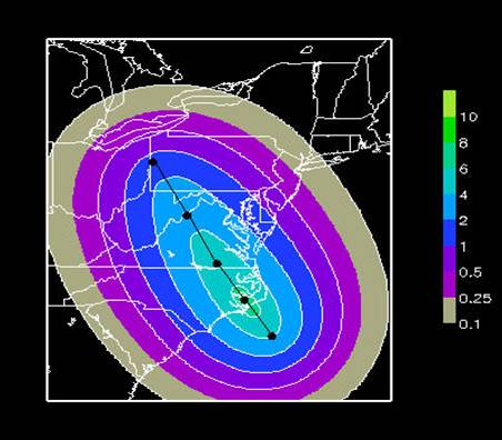
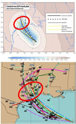
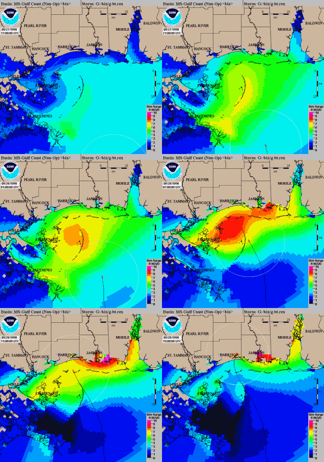
A tropical cyclone forecast model is a specialized computer program that combines observations, physical laws and numerical methods to estimate where a tropical cyclone will move and how its intensity may change. Models translate raw meteorological inputs into forecasts that inform warnings, emergency planning and marine operations. Forecasters typically consult several models and blended products rather than relying on a single output.
Image gallery
7 Images


Core components and inputs
Models ingest many types of observations and analyses: satellite imagery, surface and ship reports, buoy data, radar, radiosondes and global reanalyses. These data are integrated through data assimilation systems into an initial state. The mathematical and physical framework—fluid dynamics, thermodynamics and parameterizations for clouds and turbulence—then advances that state forward in time using high-performance computing and specialized modeling software.
Types of models
- Statistical models: use historical relationships between observed variables to make empirical forecasts and are often fast and inexpensive.
- Dynamic (numerical) models: solve governing equations on a grid to simulate the atmosphere and ocean, producing detailed track and intensity fields.
- Hybrid and statistical-dynamical models: combine physical model output with statistical corrections or climatology.
- Ensemble systems: run many slightly different initial conditions or model configurations to express forecast uncertainty and probabilities.
Forecast types and uses
Two primary forecast goals are track (the storm center path) and intensity (wind speed, pressure, structure). Track forecasts have improved substantially over decades, while intensity prediction remains more challenging because it depends on small-scale processes such as eyewall cycles and ocean–atmosphere interaction. Outputs are used for evacuation decisions, maritime routing, emergency management, insurance assessments and scientific research.
History and development
Early forecasts relied on climatology and simple statistical schemes. With digital computers in the mid-20th century, primitive numerical forecasts became possible and have steadily advanced as models, observations and computing power improved. Modern systems pair global and regional models with high-resolution hurricane models and ensemble approaches to capture both the most likely outcome and the uncertainty.
Limitations and notable considerations
Models are limited by imperfect initial data, finite grid resolution and incomplete representation of physical processes. Intensity forecasts often show larger errors than track forecasts. Forecasters interpret model guidance, weighing strengths and biases of individual systems. Operational users and researchers consult model families and probabilistic products—examples of model output are routinely disseminated via official centers and decision-support tools, helping translate numerical results into actionable guidance about where tropical cyclones will go and how they might change.
For further technical information, model descriptions and repository access, consult institutional documentation and community model pages such as those linked by major forecasting centers and research institutions (tools and software, observational networks, model code).
Related articles
Author
AlegsaOnline.com Tropical cyclone forecast models Leandro Alegsa
URL: https://en.alegsaonline.com/art/101659