
Timor Sea: geography, ecology, resources, and human impacts
Shallow sea north of Australia between Timor and the Indian Ocean, noted for reefs, islands, rich hydrocarbon reserves and environmental and maritime-boundary issues.
Overview
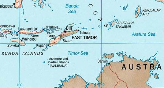
The Timor Sea lies between the northern coast of Australia and the island of Timor. It forms a transitional zone connecting to the Arafura Sea to the east and opens westward toward the broader Indian Ocean. To the south, its waters border the Australian continental shelf and coastline, which link the basin to the nation of Australia. This body of water is generally shallower than many open-ocean basins and includes a mix of continental shelf, basins, and submarine highs.
Image gallery
9 Images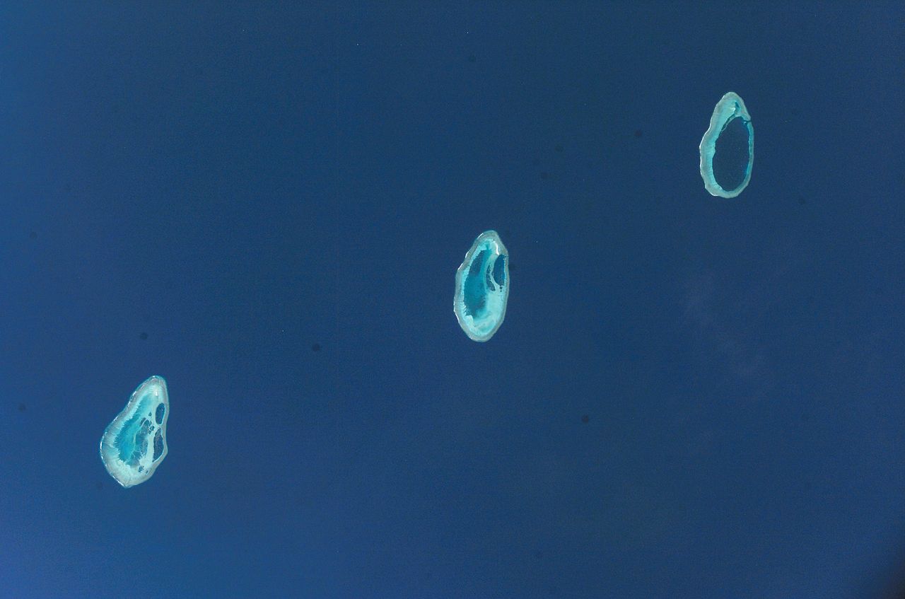



Physical features and ecology
The Timor Sea is characterized by shallow shelf waters interspersed with deeper troughs and scattered islands and reefs. Those features create a variety of marine habitats—from sandy bottoms and seagrass beds to coral patches—that support fisheries and diverse marine life. The shelves and shoals influence currents, sediment transport and biological productivity, making parts of the sea important for local fishing communities and seabird and turtle foraging.
Human uses and resources
The sea has long supported coastal fisheries and small-scale navigation. In recent decades it has also become significant for offshore oil and gas development: several hydrocarbon fields and production platforms operate in the basin, and exploration continues where geological conditions are favorable. Energy resources in the region are a major economic interest for adjacent countries; see more on hydrocarbon reserves and related activity.
History, governance and disputes
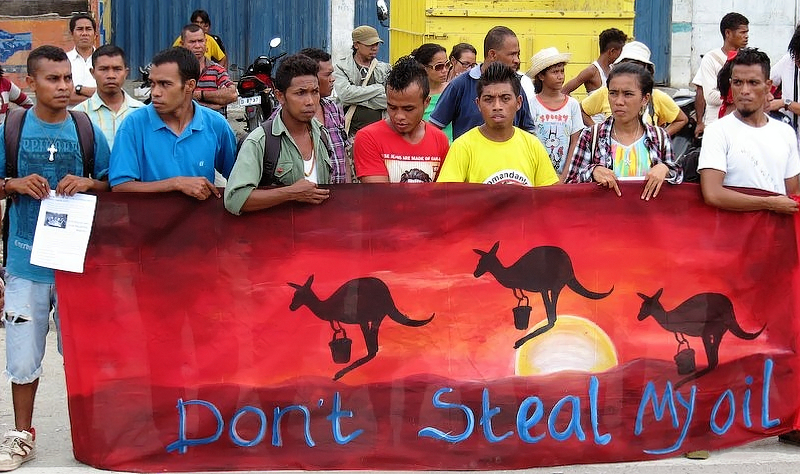
Because the Timor Sea sits between different national jurisdictions, its governance has involved negotiations over maritime boundaries, revenue sharing and resource management. Coastal states and territories have at times concluded treaties, provisional arrangements and joint development zones to manage access and exploitation of seabed and water-column resources. These arrangements aim to balance national interests, economic development and environmental protections.
Environmental issues and notable incidents
The presence of oil and gas infrastructure brings risks. One high-profile event was a major offshore oil spill in 2009 that drew attention to pollution, response capability and the vulnerability of marine habitats. Beyond spills, the region faces pressures from fishing, shipping and climate-driven changes such as sea-level rise and shifts in marine species distributions. Conservation efforts typically seek to reduce habitat damage while allowing sustainable use.
Key points
- Geography: shallow continental shelf with islands, reefs and deeper basins.
- Ecology: supports fisheries, coral patches, seagrass and migratory species.
- Economy: important for offshore oil and gas development and coastal fisheries.
- Governance: subject to maritime boundary negotiations and joint management.
- Environmental concern: notable oil spill incidents and ongoing conservation challenges.
For further regional information and maps consult local maritime authorities and resources linked through general references such as national hydrographic services and oceanographic institutions. Additional technical or legal documents provide detailed boundary descriptions, environmental assessments and resource-development plans; for introductory material see sources associated with the island of Timor, the Arafura Sea, the Australian maritime context, and broader oceanographic overviews of the Indian Ocean. Energy-sector summaries and resource inventories are commonly referenced under hydrocarbon reserves.
Questions and answers
Q: What geographical features border the Timor Sea?
A: The Timor Sea is bounded by the island of Timor to the north, the Arafura Sea to the east, Australia to the south, and the Indian Ocean to the west.
Q: What is the depth of the Timor Sea like?
A: The Timor Sea is a relatively shallow sea.
Q: Are there any human settlements on islands in the Timor Sea?
A: The Timor Sea has a number of reefs and islands where no one lives.
Q: What natural resources are found in the Timor Sea?
A: The Timor Sea has significant hydrocarbon reserves.
Q: When did the worst oil spill in 25 years occur in the Timor Sea?
A: The worst oil spill for 25 years occurred in the Timor Sea in 2009.
Q: What is the name of the sea that borders the Timor Sea to the east?
A: The Arafura Sea borders the Timor Sea to the east.
Q: Which country borders the Timor Sea to the south?
A: Australia borders the Timor Sea to the south.
Related articles
Author
AlegsaOnline.com Timor Sea: geography, ecology, resources, and human impacts Leandro Alegsa
URL: https://en.alegsaonline.com/art/99982
Sources
- theaustralian.com.au : "Montara oil spill firm seeks permission for more drills"
- australiangeographic.com.au : "Vast asteroid crater found in Timor Sea"