
Tirunelveli district, Tamil Nadu
Tirunelveli district in southern India surrounds the city of Tirunelveli. Known for the Thamirabarani River, ancient temples and agricultural plains, it was established in 1790 and later reorganized into smaller districts.
Overview
Tirunelveli district is an administrative region in the southern Indian state of Tamil Nadu. The city of Tirunelveli serves as the district headquarters. According to the 2011 census the district had a population of about 3,077,233. Historically extensive, the district has been reduced in size by subsequent administrative reorganizations but remains an important cultural and agricultural area.
Image gallery
10 Images


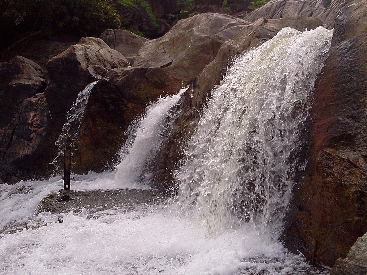

Geography and environment
The district occupies a zone of varied landscape that includes lowland plains irrigated by the Thamirabarani River, and the eastern fringes of the Western Ghats to the west. The Thamirabarani is a perennial river that supports agriculture and local ecosystems. Climate is tropical: hot summers, a distinct monsoon season and milder winters influence cropping cycles and water availability.
History and administrative changes
Tirunelveli was formed as a district by the East India Company on 1 September 1790 and originally covered a much larger territory. Over time it was subdivided, and parts of its original area now form separate districts such as Thoothukudi and newer administrative units; other portions were transferred to districts including Virudhunagar and Ramanathapuram. As of October 2008 it was recorded as the second-largest district in Tamil Nadu by area, after Villupuram.
Economy, culture and notable features
Agriculture is a principal economic activity: irrigated paddy, pulses and plantation crops are common. Small-scale industries, textiles, educational institutions and services in urban centres also contribute to the economy. The district is culturally notable for temples such as the Nellaiappar shrine in Tirunelveli, local sweets (often called Tirunelveli halwa) and traditional festivals that attract regional visitors.
Administration and connectivity
Local administration is organized into taluks and municipal bodies centred on Tirunelveli. Transport links include regional roads and rail connections that tie the district to other parts of Tamil Nadu and neighbouring states. The combination of river-irrigated agriculture, religious landmarks and transport access make Tirunelveli an enduring regional hub.
- Major river: Thamirabarani
- Headquarters: Tirunelveli city
- Historic formation: 1 September 1790
Questions and answers
Q: What is Tirunelveli district?
A: Tirunelveli district is a district of Tamil Nadu state in southern India.
Q: Where is the district headquarters located?
A: The city of Tirunelveli is the district headquarters.
Q: When was Tirunelveli District formed?
A: Tirunelveli District was formed on 1 September 1790 by the East India Company (on behalf of the British government).
Q: What other districts does it comprise?
A: It comprises the present Tirunelveli and Thoothukudi and thenkasi districts and parts of Virudhunagar district and Ramanathapuram districts.
Q: How large is it compared to other districts in Tamil Nadu?
A: It is the second-largest district (as of October 2008), after Villupuram district.
Q: How many people live in this area as of 2011?
A: As of 2011, the district had a population of 3,077,233.
Related articles
Author
AlegsaOnline.com Tirunelveli district, Tamil Nadu Leandro Alegsa
URL: https://en.alegsaonline.com/art/100083