
Singapore River
A short urban river in Singapore that flows from the city centre to the sea. Historically the island’s principal port and trade axis, it was heavily polluted and restored by a major cleanup from 1977 to 1987.
Overview
The Singapore River is a short but historically significant waterway that runs through the central area of Singapore to the sea. At about 11,000 metres in length, it connects inner-city precincts with the coastal port area and has shaped the urban form, commerce and waterfront culture of the city-state.
Image gallery
10 Images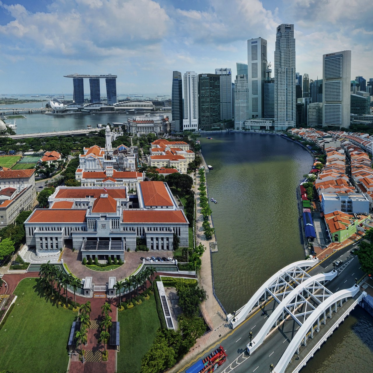



Route and characteristics
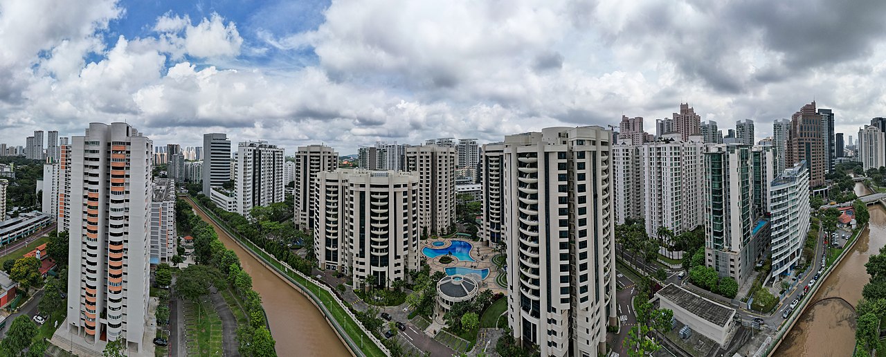
The river rises within Singapore’s central urban district and flows a relatively short distance before reaching its mouth on the southern shoreline. Along its course are several distinct precincts and quays that developed to serve different trades and communities. Its banks have been progressively redeveloped; today they combine preserved historic buildings, pedestrian promenades and modern commercial and residential developments.
History and development
For much of Singapore’s recorded history the river mouth functioned as the island’s primary port and a focal point for regional maritime trade, especially during the 19th and early 20th centuries. Clusters of warehouses, godowns and boat quays supported the spice, timber and produce trades that helped the port grow. The river’s surroundings also housed early immigrant communities and trading houses that contributed to the city’s mercantile character.
Pollution, cleanup and restoration
Intensive commercial activity and the lack of modern sanitation left the river heavily polluted by the mid-20th century. A government-led cleanup programme, carried out between 1977 and 1987, removed rubbish, relocated pollutive industries and improved sewerage and drainage systems. The rehabilitation transformed water quality and made the riverfront suitable for public use and redevelopment.
Contemporary uses and significance
Today the Singapore River is a mixed-use urban amenity: it supports tourism, leisure boat services and restaurants while its quays preserve elements of the city’s trading past. The waterfront is popular for walking, dining and cultural events, and the river corridor is often cited as an example of coordinated urban renewal that balances conservation with modern development.
Notable facts and further reading
- The river’s historic quays are frequently referenced in accounts of Singapore’s early commercial growth.
- Its cleanup is considered an important model of environmental rehabilitation in a dense urban setting.
- For more information: general overview, city planning notes, geographic details.
- Historical context and archives: trade history, community records.
- Restoration projects and environmental reports: cleanup programme, water quality studies, urban renewal case study.
Related articles
Author
AlegsaOnline.com Singapore River Leandro Alegsa
URL: https://en.alegsaonline.com/art/90627
Sources
- heritagetrails.sg : "Heritage Trails :: Singapore River Trail :: Boat Quay"