
Queen Elizabeth Islands
Remote Arctic islands in northern Canada, part of the Canadian Arctic Archipelago; notable for large landmasses, ice cover, sparse population, scientific importance and a history of exploration and renaming.
The Queen Elizabeth Islands are a remote cluster of islands at the northern edge of Canada’s Arctic. They form the northernmost portion of the Canadian Arctic Archipelago and are politically divided between the territories of Nunavut and the Northwest Territories. The region is characterized by polar climate, extensive sea ice for much of the year, permafrost and widespread glaciers on many large islands.
Image gallery
10 Images




Geography and scale
The islands range from very large landmasses to numerous small islets. According to the Atlas of Canada, the archipelago includes 34 large islands and some 2,092 smaller islands and rocks. Several of these landmasses rank among the largest islands on Earth; the largest in the group is Ellesmere Island. Much of the terrain is rugged, with fjords, mountain ranges and ice caps that shape the local landscape and ecology.
Notable islands and features
- Ellesmere Island — the largest and northernmost major island in the group, home to glaciers and high Arctic research sites.
- Axel Heiberg and other major islands — examples of large islands with geological and paleontological interest.
- Many small islands and reefs — important as breeding grounds for seabirds and resting sites for marine mammals.
History and naming
European contact and mapping of the islands took place during 19th-century Arctic exploration. Earlier the cluster was commonly known as the Parry Archipelago or Parry Islands, named for British explorer Sir William Parry. In 1953 the group was renamed in honour of Queen Elizabeth II. Indigenous peoples and earlier Arctic cultures used and travelled through parts of the region for millennia, leaving archaeological traces of seasonal use.
Ecology, research and uses
The Queen Elizabeth Islands play a key role in Arctic science because their glaciers, sea-ice regimes and permafrost are sensitive indicators of climate change. The islands support specialized Arctic wildlife, including seals, polar bears and seabirds, and they are used for long-term monitoring and field research. They have also been examined for potential mineral and hydrocarbon resources, which contributes to political and scientific interest in the area.
Human presence and significance
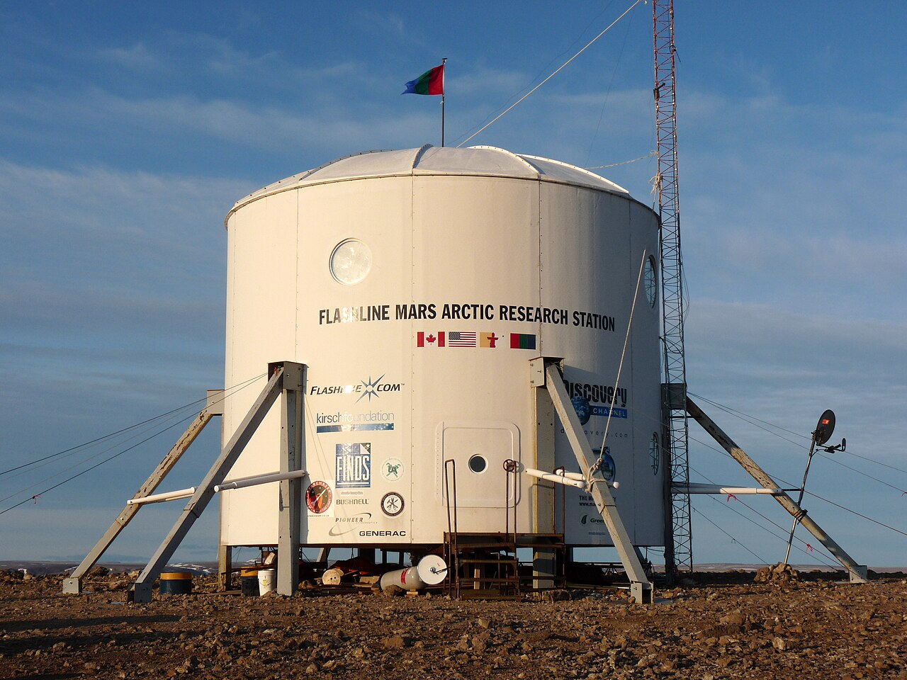
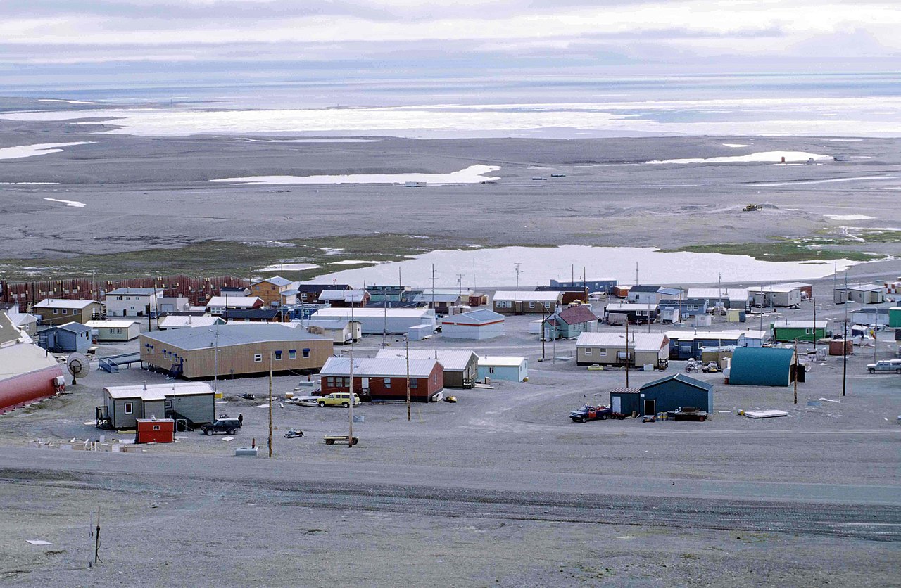
Permanent human habitation is extremely limited; fewer than a few hundred people live across the islands. Residents include Inuit communities, seasonal hunters, and staff at research stations and weather outposts. The islands are strategically important for Canada’s northern sovereignty, for navigation studies connected with the Northwest Passage, and for understanding global climate processes. For further background, see regional maps and government resources: Arctic exploration, royal naming, and cartographic overviews such as those referenced by global island rankings.
Researchers and visitors can consult specialized sources for logistics, detailed island lists and scientific publications; general introductions and maps are available through national archives and Arctic research programs: overview, national context, archipelago details, and specific territorial information at Nunavut and Northwest Territories.
Related articles
Author
AlegsaOnline.com Queen Elizabeth Islands Leandro Alegsa
URL: https://en.alegsaonline.com/art/80455